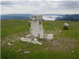
 | Čabrače - Blegoš
Blegoš is a 1562 m high mountain located between Selška and Poljane Sora. From the grassy summit, on which there is a stamp and a registration bo...
2 h |
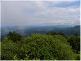 | Hunting cottage Plehanov laz - Krim
Krim is a 1107 m high mountain rising south of the Ljubljana Marshes. From the top of the mountain, where the mountain lodge and a number of tran...
2 h 15 min |
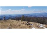 | Sopota - Kum (Nežina pot)
At 1220 metres, Kum is the highest peak of Posavsko hribovje. Because it rises above Zasavje, some people call it the Zasavje Triglav. On the sum...
2 h |
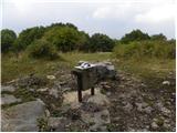 | Cerknica - Slivnica
Slivnica is a 1114 m high peak located north of Cerknica polje. The view from the summit, where the entry box is located, is rather limited due t...
1 h 40 min |
 | Martinjak - Slivnica
Slivnica is a 1114 m high peak located north of Cerknica polje. The view from the summit, where the entry box is located, is rather limited due t...
1 h 15 min |
 | Grahovo - Slivnica
Slivnica is a 1114 m high peak located north of Cerknica polje. The view from the summit, where the entry box is located, is rather limited due t...
1 h 15 min |
 | Javorje - Stari vrh (via Koča na Starem vrhu)
Stari vrh is a 1217 m high mountain located above the ski resort of the same name. There is no view from the summit itself due to the forest, but...
1 h 35 min |
 | Javorje - Stari vrh (via Prehodi)
Stari vrh is a 1217 m high mountain located above the ski resort of the same name. There is no view from the summit itself due to the forest, but...
1 h 30 min |
 | Hunting cottage Vojkovo - Vojkova koča na Nanosu
Vojkova koča is located on the southern edge of the Nanoše plateau, close to Pleše, a peak that is clearly visible from the motorway. From the hu...
1 h 45 min |
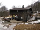 | Veliko Ubeljsko - Vojkova koča na Nanosu
Vojkova koča is located on the southern edge of the Nanoše plateau, close to Pleše, a peak that is clearly visible from the motorway. From the hu...
1 h 45 min |
 | Strane - Vojkova koča na Nanosu
Vojkova koča is located on the southern edge of the Nanoše plateau, close to Pleše, a peak that is clearly visible from the motorway. From the hu...
2 h 15 min |
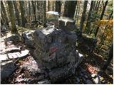 | Vrčice - Mirna gora (via Škrilj)
Mirna gora is a 1047 m high, forested peak located on the south-eastern edge of the Kočevje Horn. The summit, which has a registration box and a ...
2 h 10 min |
 | Vrčice - Mirna gora (via Planina)
Mirna gora is a 1047 m high, forested peak located on the south-eastern edge of the Kočevje Horn. The summit, which has a registration box and a ...
2 h 10 min |
 | Potoče - Potoška gora
The forested peak is located above Preddvor between Javorov vrh and the Iskra mountain lodge on Jakob. The summit has a bench and a registration ...
2 h |
 | Spodnja Kokra - Potoška gora
The forested peak is located above Preddvor between Javorov vrh and the Iskra mountain lodge on Jakob. The summit has a bench and a registration ...
2 h 5 min |
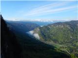 | Kupljenik - Babji zob
Babji zob is a lookout point above the village of Kupljenik near Bled. The precipitous peak, which has a registration box, has a beautiful view o...
1 h 30 min |
| Podmrzlica, Matke - Mrzlica
Mrzlica has become an extremely popular excursion point in the last few years, especially for visitors from the Savinjska Valley and Zasavje. At ...
1 h 45 min |
 | Gradišče - Kremžarjev vrh
Kremžarjev vrh is the westernmost millennium on Pohorje. It is located north-east of Slovenj Gradec. There is no view from the summit, which has ...
1 h 55 min |
 | Čemšenik - Črni vrh (Čemšeniška planina)
Črni vrh is the highest peak of Čemšeniška mountain pasture and with a height of 1204 m it is the second highest peak in the Posavje - Zasavje hi...
1 h 30 min |
 | Slovenska vas - Sveta Trojica
Sveta Trojica is a scenic peak located south-west of Javorniki. From the top, where the ruins of the former church are well preserved, you can en...
2 h 15 min |
 | Rakov Škocjan - Veliki Javornik (Javorniki)
Veliki Javornik is a 1,268-metre-high peak in the forested hills called the Javorniki. The vast forests of the Javorniki stretch from Postojna to...
2 h |
 | Bohinjska Bela (Podklanec) - Galetovec (western way)
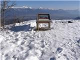
Galetovec is an undistinguished peak in the south-eastern part of the Pokljuka plateau. From the summit, which has a registration box, there is a...
2 h |
 | Brezje - Galetovec
Galetovec is an undistinguished peak in the south-eastern part of the Pokljuka plateau. From the summit, which has a registration box, there is a...
2 h |
 | Bohinjska Bela - Galetovec (via Turn)
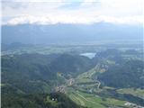
Galetovec is an undistinguished peak in the south-eastern part of the Pokljuka plateau. From the summit, which has a registration box, there is a...
2 h |
 | Javorje - Mladi vrh (via Prehodi)
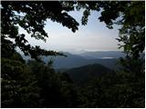
Mladi vrh is the senior neighbour of the better known Stari vrh, from which it is separated by a saddle. The top is covered with a sparse beech f...
1 h 45 min |
 | Javorje - Mladi vrh (western path)
Mladi vrh is the senior neighbour of the better known Stari vrh, from which it is separated by a saddle. The top is covered with a sparse beech f...
2 h 5 min |
 | Vrhnika pri Ložu - Racna gora
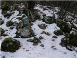
Racna gora is a little-visited peak rising east of the Loška dolina valley. There is no view from the summit, which has a registration box and a ...
1 h 45 min |
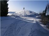 | Ljubenske Rastke - Bezovec
Bezovec is a lesser known peak located in the Smrekov Mountains. From the top of the peak, where the hunting observatory stands, we have a beauti...
2 h 15 min |
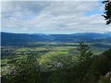 | Begunje (Krpin) - Smokuški vrh (by ski slope and via Sankaška koča)
Smokuški vrh is a scenic mountain located on a ridge between the Završnice valley and the Gorenjska plain. From the top of the hill, where there ...
1 h 40 min |
 | Begunje (PGD Begunje) - Smokuški vrh (Petrova pot)
Smokuški vrh is a scenic mountain located on a ridge between the Završnice valley and the Gorenjska plain. From the top of the hill, where there ...
1 h 40 min |
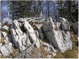 | Gotenica - Kameni zid
Kameni zid are steep rocky cliffs descending steeply from Gotenická Gora. From the top of Kameni zid, we have a beautiful view towards Stojna, Ko...
1 h 30 min |
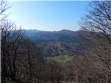 | Col - Sveti Duh (Hrušica)
The Sveti Duh Church is located just a few metres below the eponymous peak on the slopes of the forested Hrušice, a mountain range between Col, L...
2 h 15 min |
 | Strane - Suhi vrh (Nanos) (steep way)
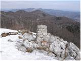
At 1313m, Suhi vrh is the highest peak of the karst plateau of Nanos. From the summit, which has a registration box and a stamp (the stamp is cur...
2 h 15 min |
 | Podbrdo - Kup
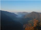
Kup is a 1046 m high peak located between Petrovy Brdo and Podbrdo. From the top, where there is a cross and a few transmitters, we have a beauti...
1 h 35 min |
 | Jeršiče - Mali Javornik (Javorniki)
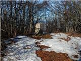
Mali Javornik is a 1219 m high mountain located in the crest of the forested Javorniki Ridge. There is no view from the top due to the forest, bu...
1 h 50 min |
 | Rakitnica - Bela stena
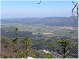
Bela stena (also just Stene) is a lookout point located west of Dolenje vas in the Ribnica valley, specifically above the village of Zadolje. Fro...
2 h 10 min |
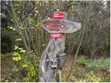 | Beli Potok at Frankolovo - Stenica
Stenica is a 1091 m high peak located between Vitanje, Stranice and Frankolovi. There is no view from the top, which has a stamp with a registrat...
1 h 45 min |
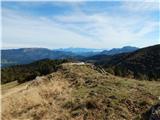 | Poče - Medrce (steep path)
Medrce is a 1410 m high peak located between Porezno and Hum. From the top, where the old bunker is located, we have a beautiful view of Kojca, P...
2 h |
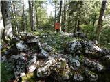 | Kočevje - Ledenik
At 1072 metres, Ledenik is the highest peak of Stojna, a forested ridge located between Kočevje and Kočevsko Rijeka. On the summit there is a reg...
2 h 15 min |
 | Rein - Mühlbacher Kogel (Hunting path / Jägersteig)
Mühlbacher Kogel is a 1050m high mountain in the western part of the Graz mountain range in Styria, Austria. It is located above the Mühlbacher H...
2 h 10 min |
 | Kebelj - Veliki vrh (on Pohorje)
Veliki vrh is a 1344-metre-high peak located above the RTC Jakec - Trije kralji ski resort. The highest point of the peak is located in the fores...
2 h 10 min |
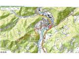 | Frohnleiten - Haneggkogel (panoramic path)
...
2 h |
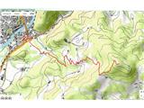 | Frohnleiten - Hochtrötsch (Trötsch)
...
2 h 15 min |
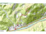 | Laufnitzdorf - Schiffall
...
2 h 15 min |
 | Lišnjak (road on Promina) - Čavnovka (Promina) (past hut and on footpath)
...
1 h 45 min |
 | Lišnjak (road on Promina) - Čavnovka (Promina) (past hut and on road)
...
1 h 45 min |
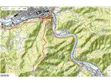 | Bruck an der Mur - Hochanger (on road)
...
2 h |