Starting point: Slovenska vas (468 m)
| Lat/Lon: | 45,6641°N 14,8259°E |
| |
Time of walking: 3 h 15 min
Difficulty: easy marked way
Altitude difference: 604 m
Altitude difference po putu: 700 m
Map:
Recommended equipment (summer):
Recommended equipment (winter): ice axe, crampons
Views: 785
 | 3 people like this post |
Access to the starting point:
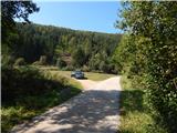
a) First drive to Ribnica, then continue driving towards Kočevje. After the settlement Mrtvice, you will soon reach a crossroads where you turn right in the direction of Slovenske vas. Continue through the village and cross the river Rinza after crossing the bridge. After the bridge, continue to the right, and just a few metres further on we see the signs for Slovenski vrh. Park at a suitable place along the road, or 50 metres further on at the next crossroads.
b) From Kočevje, drive towards Ljubljana, and after a few kilometres turn left towards Slovenske vas (Stara Cerkev on the right). Continue through the village, and after the bridge cross the river Rinza. After the bridge, continue to the right, and a few metres further on we see the signs for Slovenski vrh. Park at a suitable place along the road, or 50 metres further on at the next crossroads.
Path description:
From the starting point, continue in the route Slovenski vrh, and the trail goes from the initial meadow into the forest, through which it climbs along an initially quite overgrown path. After a short climb, you quickly reach cart track, which you follow to the right, and after a few steps you go left into the woods, onto a well-marked footpath. Continue climbing steeply, then reach a dirt road, which leads a few steps to the right and then left onto the steep cart track. Follow cart track for a few minutes, then follow the signs carefully at a few forks. At a higher level, rejoin the forest road and soon leave it. Then, after crossing another road, we arrive at a marked crossroads where the path from Jasnice joins from the right.
Continue in the direction of Slovenski vrh, following the path which leads us in a few minutes of further moderate ascent to the summit, on which stands a small antenna tower.
From Slovenski vrh, continue left in the direction of Ledenik and Mestni vrh, following the path which continues along the forested ridge of Stojna. After an initial descent, the poorly trodden but well-marked path lies down and soon crosses a forest road. When you reach another forest road a little further ahead, follow it to the left, and follow it to its end, from where you continue left up the marked cart track. From cart track go right shortly, then continue through the dense forest. After a few minutes, the next forest road is reached and followed to the left, which slowly turns to the right, passing the nearby Bivaki Forestry Lodge in a semicircle.
A little further from the hut, at a stump with a shelter, leave the road and continue right on the path in the direction Ledenika. After a short climb, midway round a bend, you reach the next road, which you follow to its end. From the end of the road, follow the marked path, which climbs steeply for a short distance, then briefly flattens out, where it curves slightly to the right and gradually ascends to a ridge, which will then take you to the highest peak of Stojna in a few minutes.
Slovenska vas - Slovenski vrh 1:30, Slovenski vrh - Ledenik 1:45.
Description and figures refer to the situation in 2016 (September).

Pictures:
 1
1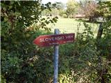 2
2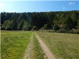 3
3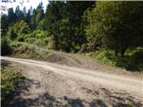 4
4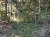 5
5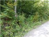 6
6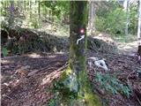 7
7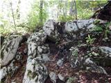 8
8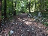 9
9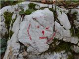 10
10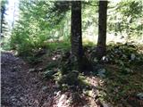 11
11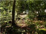 12
12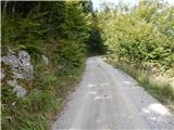 13
13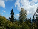 14
14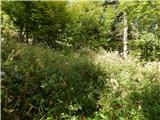 15
15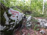 16
16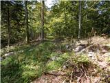 17
17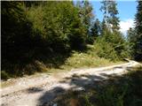 18
18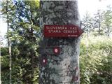 19
19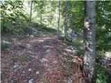 20
20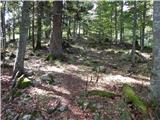 21
21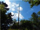 22
22 23
23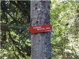 24
24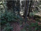 25
25 26
26 27
27 28
28 29
29 30
30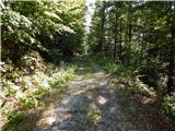 31
31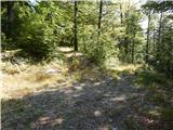 32
32 33
33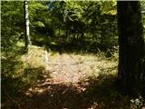 34
34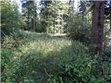 35
35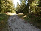 36
36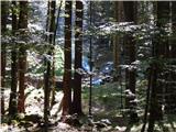 37
37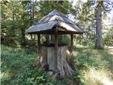 38
38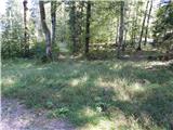 39
39 40
40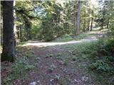 41
41 42
42 43
43 44
44 45
45 46
46 47
47 48
48 49
49
Discussion about the trail Slovenska vas - Ledenik