Korensko sedlo - Ofen/Peč (on marked path)
Starting point: Korensko sedlo (1072 m)
| Lat/Lon: | 46,5167°N 13,7514°E |
| |
Name of path: on marked path
Time of walking: 2 h
Difficulty: easy marked way
Altitude difference: 436 m
Altitude difference po putu: 500 m
Map:
Recommended equipment (summer):
Recommended equipment (winter): ice axe, crampons
Views: 9.580
 | 1 person likes this post |
Access to the starting point:
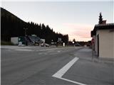
a) First drive to Kranjska Gora, then continue driving towards Rateče. At Podkoren, turn right towards the Korensko sedlo Pass, which is reached after a few kilometres of ascent. Park at a suitable place on the Slovenian or Austrian side of the border crossing.
b) Via Border crossing Predel, drive into Itali, then continue to Trbiž / Tarvisio and on to Rateci. At Rateče go straight on, then at Podkoren turn left towards Austria. In a few kilometres, we climb up to the Korensko sedlo pass, where we park on the Slovenian or Austrian side of the border crossing.
Path description:
On the Austrian side of the border crossing, you will see yellow mountain signs directing you to route 603 in the direction of Tromeje (Ofen) / Dreiländereck. The trail first leads to the fence of a nearby byte, then turns left and passes into the forest. Climb steeply through the forest, then descend a short distance to a small stream, which is crossed, and then climb to the nearby cart track, which is followed to the left. Cart track quickly turns into a fairly steep mountain trail, from which we get some transient views towards Austria and the nearby Jerebikovec. A little higher, you reach a worse forest road, follow it to the left and after a few steps you reach its end, from where you continue right up the mountain path. Then climb up through the occasionally more sparse forest, from where we get some views also towards Julian Alps, and a little higher we reach the next dirt road. Follow the road to the left, walk along the fine views to Julian Alps, and at the nearby crossroads take the upper right road. Above the crossroads the road quickly levels out and then continues without any major changes in elevation. After a few minutes, the signs for route 603 direct you to the left, onto a footpath which leads you through lane woodland to a grazing fence, beyond which you enter the Owl's mountain pasture / Seltschaher Alm. At mountain pasture, the path widens into cart track, which leads cross-country down the slopes of Petelinjek Peak. With views of Dobratsch and the surrounding mountains, one quickly reaches an undistinguished saddle to the north-west of the summit. The gentle path passes close to the border with Slovenia, then turns slightly right and ascends gently to the upper station of the 3-seater, where the following mountain markers for Ofen can be seen. A few minutes of moderate downhill follows, following a path from which Ofen is clearly visible ahead (the route between Slovenia, Itali and Austria), while Dobratsch and then the Gailtaler Alps chain can be seen to the right, and then the Dreiländereck Hütte hut is reached.
From the hut there are a few more steps downhill, and then the signs for Ofen direct us to cart track, along which we climb to the top of Ofeni, or Tromeja, with increasingly beautiful views.
Korensko sedlo - hut Dreiländereck Hütte 1:40, hut Dreiländereck Hütte - Ofen 20 minutes.
Description and pictures refer to the situation in 2016 (October).

Pictures:
 1
1 2
2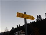 3
3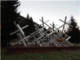 4
4 5
5 6
6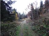 7
7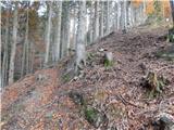 8
8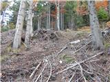 9
9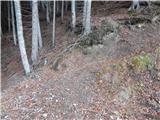 10
10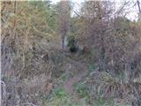 11
11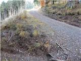 12
12 13
13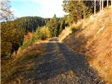 14
14 15
15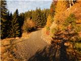 16
16 17
17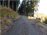 18
18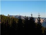 19
19 20
20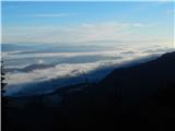 21
21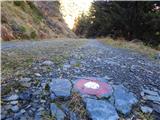 22
22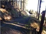 23
23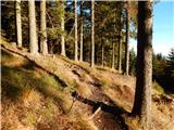 24
24 25
25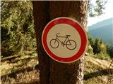 26
26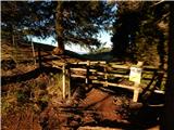 27
27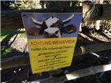 28
28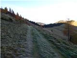 29
29 30
30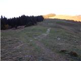 31
31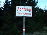 32
32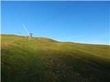 33
33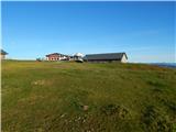 34
34 35
35 36
36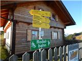 37
37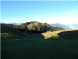 38
38 39
39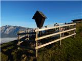 40
40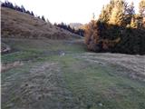 41
41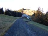 42
42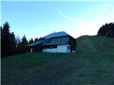 43
43 44
44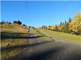 45
45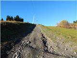 46
46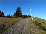 47
47 48
48 49
49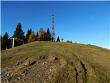 50
50 51
51
Discussion about the trail Korensko sedlo - Ofen/Peč (on marked path)