Kalce - Veliki Javornik (Javorniki)
Starting point: Kalce (888 m)
| Lat/Lon: | 45,7607°N 14,2686°E |
| |
Time of walking: 1 h 30 min
Difficulty: easy marked way
Altitude difference: 380 m
Altitude difference po putu: 380 m
Map: Snežnik 1:50.000
Recommended equipment (summer):
Recommended equipment (winter):
Views: 18.848
 | 1 person likes this post |
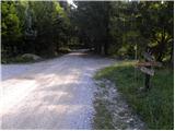
Access to the starting point:
From the motorway Ljubljana - Koper take the exit Postojna and then drive towards the centre of Postojna. In the above-mentioned place you will see signs for Pečna reber and the railway station, which will direct you to the right, and then about 200 m before the railway station turn left (the junction is not marked) onto the road, which will soon take you over the motorway. On the other side of the motorway we come to a crossroads where the road to Stara vas branches off to the right, and we continue in the direction of Javornik and Svete Trojice. A little further on, by the NOB monument, the road to Pečni ribra branches off to the left, and we continue slightly to the right and follow the beautiful macadam road to the crossroads where the signs for Javornik direct us to the left. Park a few metres further on a suitable place along the road.
Path description:
At the starting point, the signs for Javornik direct us to the road on the left, and we follow it to a moderate left turn. Here, a less visible marker directs us right onto a slightly overgrown path, which quickly leads to a nearby wooden hut. Continue slightly left along the rather overgrown path, which, higher up, becomes completely close to the forest road. Just a few metres before reaching the road, turn right and continue climbing along the wide cart track, which climbs moderately through the forest. The cart track turns into a footpath higher up, and this quickly leads to a forest road, which you follow to the right.
Continue on the macadam road, which soon turns off to the left marked trail to Mali Javornik (the turn-off is not marked, but there is a smaller cairn at the beginning of the trail), and we continue to follow the road, which leads us near the hunting lodge to a crossroads, where we continue on the upper left road. There is another 10-minute walk along a moderately ascending road, and then we arrive at the next crossroads, where we again continue to the left, this time along a much worse road. Just a few steps further on, we emerge from the forest where two stone forts (Fortin) stand. Here we take a sharp left and continue our ascent along the wide cart track, which quickly leads us over the Medved hill to the top of Veliki Javornik.

Pictures:
 1
1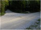 2
2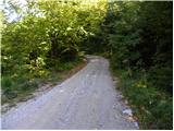 3
3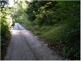 4
4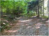 5
5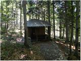 6
6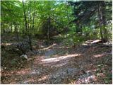 7
7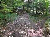 8
8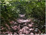 9
9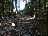 10
10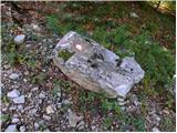 11
11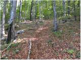 12
12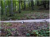 13
13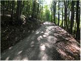 14
14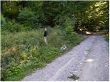 15
15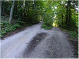 16
16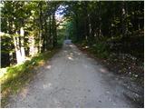 17
17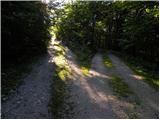 18
18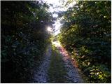 19
19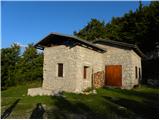 20
20 21
21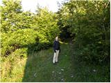 22
22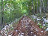 23
23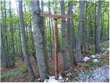 24
24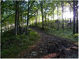 25
25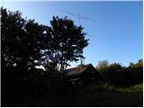 26
26 27
27
Discussion about the trail Kalce - Veliki Javornik (Javorniki)
|
| Darxta15. 01. 2012 |
Prejšnji teden sem šel gor, in naj dodam par informacij: - začetno križišče se nahaja kar kakih 6km stran iz Postojne - oznake (kažipota) na začetnem križišču ni več, tako da se odpravite LEVO - v gozd zaviješ že po 15m, se pravi že na prvem levem ovinku Zaradi dreves tudi sredi zime ni razgled bogve kaj, je bilo pa super hoditi po sončku! 
|
|
|