Bohinjska Bela (St. Marjeta) - Planina Rčitno
Starting point: Bohinjska Bela (St. Marjeta) (468 m)
| Lat/Lon: | 46,3499°N 14,0695°E |
| |
Time of walking: 1 h 45 min
Difficulty: easy marked way
Altitude difference: 432 m
Altitude difference po putu: 450 m
Map: TNP 1:50.000
Recommended equipment (summer):
Recommended equipment (winter): ice axe, crampons
Views: 1.070
 | 1 person likes this post |
Access to the starting point:
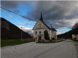
From the Bled - Bohinjska Bistrica road, drive in the direction of Bohinjska Bela, where you can park in the parking lot near the parish church of St. Marjeta.
Path description:
From the parking lot, continue along the asphalt road, which begins to climb gently through the village. The road soon becomes completely flat and leads past the post office and the Mercator shop to a crossroads, where you continue slightly right in the direction of the Klemuc apartments. After the small pond, go right in the direction of Mlina peč, Slamniki and Galetovec (slightly left Iglica and Široka peč) and start climbing up the cart track, along which you will be accompanied by the signs of the educational trail. At a small crossroads, go slightly left and climb crosswise to a small pass where a short path branches off to the right to the Mlina peč lookout, and we continue slightly left in the direction of Galetovec and Slamniki. There is an easy climb where you pass the casino, and we turn slightly to the right at the casino. When the Godrnjavčva trail turns right a little further on, we continue straight ahead, past the woodpile into the forest. We continue straight through the forest, at this point we see a lone marking, and then we cross a tarmac road, which we follow up to a marked crossroads.
From the crossroads, bear slightly right in the direction of Kavka and continue along the cart track, which climbs moderately for the most part. Cart track soon narrows to a footpath which turns slightly to the right and crosses a small stream, and continue following the signs for Rčitno. Once out of the forest, you will reach Kavka, where you continue to the right and pass a large wood pile to reach the forest, where you continue walking along cart track. At a higher altitude, cart track climbs steeply, then widens at the feed station into a less good road, which in a few minutes reaches a wider macadam road, which is followed to the left towards Rčitný.
The road then turns into a valley below Strešni brdo, and when you leave the valley, you move onto the slopes of Gač, from where you can get some views of the surrounding hills. The way forward is to return to the forest, and when we leave the forest we reach Rčitno, where there are a few huts.
Description and pictures refer to the situation in 2019 (November).

Pictures:
 1
1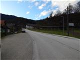 2
2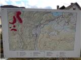 3
3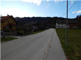 4
4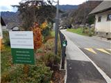 5
5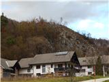 6
6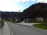 7
7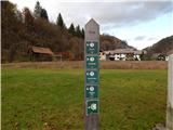 8
8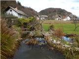 9
9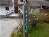 10
10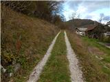 11
11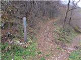 12
12 13
13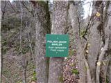 14
14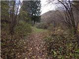 15
15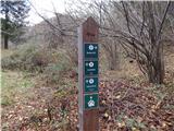 16
16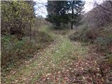 17
17 18
18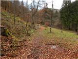 19
19 20
20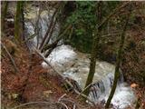 21
21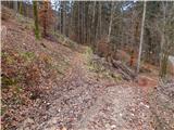 22
22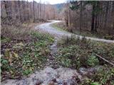 23
23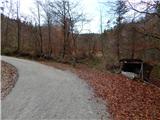 24
24 25
25 26
26 27
27 28
28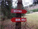 29
29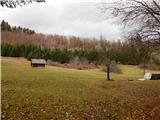 30
30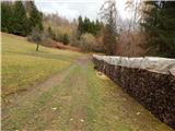 31
31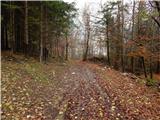 32
32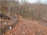 33
33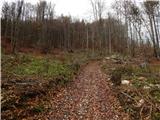 34
34 35
35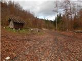 36
36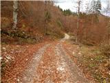 37
37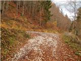 38
38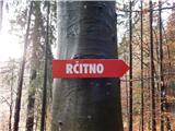 39
39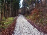 40
40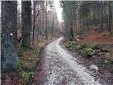 41
41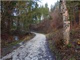 42
42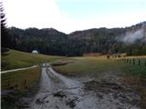 43
43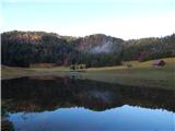 44
44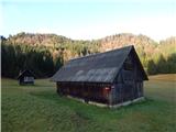 45
45
Discussion about the trail Bohinjska Bela (St. Marjeta) - Planina Rčitno