Skaručna - Smledniški hrib (Stari grad) (via Zapoški hrib)
Starting point: Skaručna (332 m)
| Lat/Lon: | 46,1552°N 14,4792°E |
| |
Name of path: via Zapoški hrib
Time of walking: 1 h 40 min
Difficulty: easy marked way
Altitude difference: 185 m
Altitude difference po putu: 235 m
Map: Ljubljana - okolica 1:50.000
Recommended equipment (summer):
Recommended equipment (winter): crampons
Views: 6.378
 | 2 people like this post |
Access to the starting point:
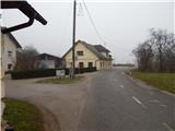
a) From the motorway Ljubljana - Jesenice take the exit Ljubljana - Šmartno, and follow the road to the settlement where you turn right onto the road leading to Vodice. Follow the road to Skaručna, where, just past the Skaručna inn, you will reach the NOB (National Liberation) Monument, which you will see on the right-hand side of the road. Just a little further on, leave the main road and turn left onto a narrow asphalt road leading to an underpass under the motorway. When you get to the other side of the motorway, park in a suitable space on the side of the road.
b) From the motorway Jesenice - Ljubljana, take the Vodice exit and continue towards Vodice. At the semaphoreised intersection in Vodice, turn right towards Skaručna. When you reach Skaručna, pay attention to the right-hand turn off the road, which is at the end of a slight left-hand bend. At the junction where you leave the main road there is an electricity pole and an electricity box next to it. A side road then leads you past a few houses, after which you reach an underpass under the motorway. On the other side of the motorway, park in a suitable space on the roadside.
Path description:
From the starting point, continue along the forest road, which leads over a small bridge, after which it splits into two parts. The "main" road turns first left and then right, and the "side" road turns right just after the bridge, and we continue straight into the forest, where we see the old signs for the Old Castle - the path over Zapoški Hill. The path continues through the forest, and after a few minutes it leads to cart track, which is reached at a crossroads. Continue straight ahead and follow the path along which there are some faded markings and some unofficial ones in the form of three stripes, or Slovenian flags without a coat of arms (white, blue and red). Continue along the above-mentioned cart track for a short time, and then you will notice faint markings (an arrow on a tree) on one of the trees, which direct you to the right to a poorly visible and further on quite overgrown path. The path continues almost horizontally for some time, then begins to climb moderately. Higher up, take the cart track sign and follow it to the left, with the help of a wooden signpost for the Old Castle. Walk along cart track for only a few 10 steps, then continue right on a completely overgrown path, which first climbs through tall grasses and then through lane of overgrown bushes. Above the scrub, we enter the woods, where the path becomes more distinct and less overgrown, and we follow it for a few minutes to reach a marked crossroads where we join the path from Repnje.
From the crossroads, continue left in the direction of Stary grad (to the right Repnje and St. Tilno's Church), where you will quickly reach the resting place at Črt and the NOB memorial, which is erected in memory of the aforementioned Črt. Several well-marked crossroads follow, and we continue from all of them in the direction of the Old Castle. Higher up, we leave the forest and the path leads us to a registration box, from where we continue straight on (right Breclov klanec (we can also cross Breclov klanec to get to the Old Castle, as the paths merge later)) along a sloping path which soon widens into a wide cart track. The cart track gradually starts to descend, and we "overlook" first the right fork (the path over Šternov Hill 515 m and the path to Rakov Hill), and then the left fork, which leads to "Dnevna". Just a little further on, we enter a wide macadam road, where we join the Valburga trail on the left and the trail over Šternov Hill on the right). Continue along the ascending road, which will take you in a few minutes to the Old Castle refreshment room and a few steps higher to the top of Smledniški hrib, where the restored ruins of the Old Castle stand.

Pictures:
 1
1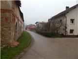 2
2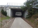 3
3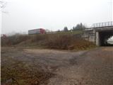 4
4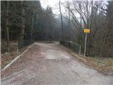 5
5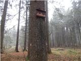 6
6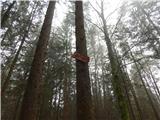 7
7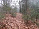 8
8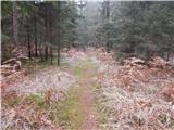 9
9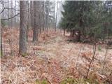 10
10 11
11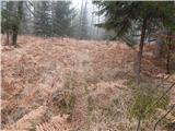 12
12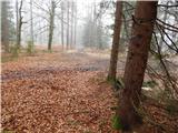 13
13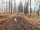 14
14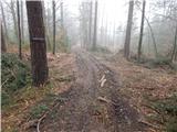 15
15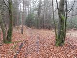 16
16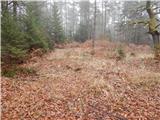 17
17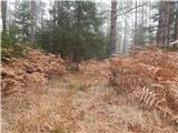 18
18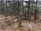 19
19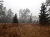 20
20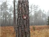 21
21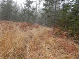 22
22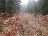 23
23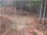 24
24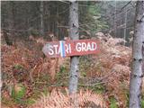 25
25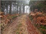 26
26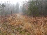 27
27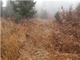 28
28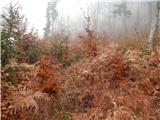 29
29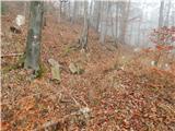 30
30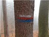 31
31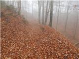 32
32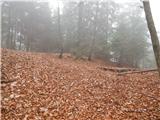 33
33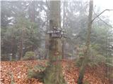 34
34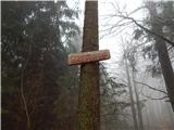 35
35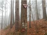 36
36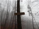 37
37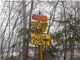 38
38 39
39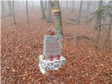 40
40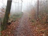 41
41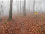 42
42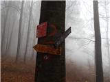 43
43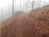 44
44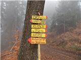 45
45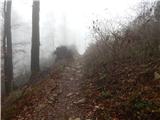 46
46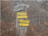 47
47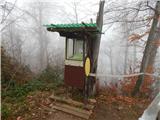 48
48 49
49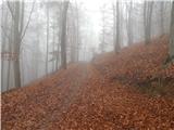 50
50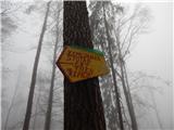 51
51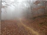 52
52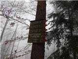 53
53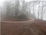 54
54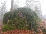 55
55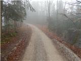 56
56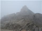 57
57 58
58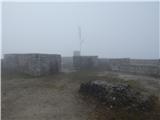 59
59
Discussion about the trail Skaručna - Smledniški hrib (Stari grad) (via Zapoški hrib)
|
| bobeka8. 11. 2015 |
Mislim, da lahko spremenite tole kar v lahko NEoznačeno pot. Midva sva večino poti prehodila sicer po precej vidnih kolovozih, kljub temu, da sva skušala slediti zgornjim navodilom. Samo v odcepu, kjer je visoka trava bi lahko govorila o stezi. Je pa ogromno križišč med kolovozi, kjer pa ni označb. Na tistih dveh križiščih, kjer dejansko so označbe, so slednje precej skrite. Sama tura je res lahka in, ko ne rabiš gledati za markacijam  , precej slikovita, super za jesen. Vrh pa v lepem vremenu vreden truda.
|
|
|
|
| janca13. 04. 2016 |
Se strinjam s predhodnim zapisom. Oznake poti se končajo pri sliki št. 13. Ravno tam je bil izveden obsežen posek in je polno kolovozov v vse smeri. Pot nam je vzela cca 2,5 ure. Z višavskim terierjem (male nogice in že malce v letih, vendar v dobri kondiciji) smo lazili skozi praprot, podrta drevesa in hudo blatnih kolovozih, nazadnje nas je gps vodil direktno navzgor po neki že zdavnaj opuščeni lovski poti. Na cilju pa - sonce in zelo lep pogled na okoliške vasi
|
|
|