Rakovnik - Sveti Jakob (via Breznik)
Starting point: Rakovnik (329 m)
| Lat/Lon: | 46,1419°N 14,3825°E |
| |
Name of path: via Breznik
Time of walking: 1 h 50 min
Difficulty: easy unmarked way
Altitude difference: 477 m
Altitude difference po putu: 515 m
Map: Ljubljana - okolica 1:50.000
Recommended equipment (summer):
Recommended equipment (winter): ice axe, crampons
Views: 1.150
 | 1 person likes this post |
Access to the starting point:
a) Take the Medvode, where from the crossroads by the Spar shop you take the exit towards Sora. Follow the road towards Sora to Rakovnik, where the route described above starts at the end of the settlement, at the crossroads in front of the bus station. There are no suitable parking places at the starting point.
b) Take the road to Škofja Loka and then continue to Medvode. Before Godešič, turn right towards Lipica, and we continue on, crossing the river Sora, and when we reach Gosteče, turn left. Then drive to Sora, where you go straight ahead (Katarina on the right), and when you reach Rakovnik, the route described above starts at the crossroads behind the bus station. There are no suitable parking spaces at the starting point.
Path description:
From the crossroads by the bus stop, take the side road that leads to the edge of the forest, where you can see Hom and newer houses on your left. Continue walking between a few houses, and at a small junction after a sign, bear slightly right on the upper road which leaves the village and leads across a meadow to the edge of the woods, where you leave the road at the transmitters and continue right on cart track, which takes you into the woods. Then climb cart track, which splits a little higher up, and we continue on the wider left cart track, which crosses a stream bed. There is some cross-country climbing, and when cart track turns right it quickly leads us to a crossroads of several cart tracks, and we continue along the right one, from which we get a nice view of the Kamniško Savinjske Alps. There are a few crossroads where we continue straight on, and at the part where the terrain is laid we go with cart track slightly right on a beaten track which takes us to an undistinguished wooded ridge. Here, at a crossroads, take the left-hand path, and a little further on you will reach a track, which you continue along. Cart track narrows higher up, and we quickly reach the unmarked summit of Breznik, where we see a bench and a sign on the left with the inscription Breznik.
Continue straight on towards St. Jakob (sign on a tree), and within a few minutes of descending, join the marked path from Sora, which is reached at the signpost.
Continue straight on in the direction of Katarina, just before joining a macadam road and then an asphalted road, which you follow to the right. Continue on the asphalt road, which leads past the NOB monument to the upper part of Studenčice village. Here the road starts to climb steeply and then it is laid and leads us past an abandoned quarry to the village of Tehovec. We continue our ascent, again on a more scenic slope, and we follow the asphalted road all the way to the church of St Florijan in the aforementioned village.
From the church we continue along the asphalted road for some time, and then we reach a small pass from where we continue along a wide macadam road. Follow the road for a short distance, then the signs point slightly left onto a path that goes into the forest and around the top of Sveti Jakob on the left-hand side. After a few minutes of crossing, we re-emerge from the forest and join the path coming from the village of Topol. Here we take a sharp right and follow the wide cart track for some 10 steps, and then the signs direct us to the right onto a steep footpath which, along the edge of the forest, will take us in a few minutes to a viewpoint with the Church of St James. Rakovnik - Breznik 0:55, Breznik - St Florian 0:25, St Florian - St James 0:30.

Pictures:
 1
1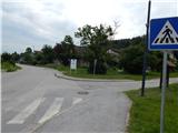 2
2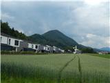 3
3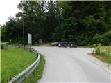 4
4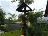 5
5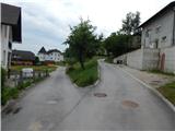 6
6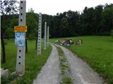 7
7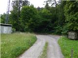 8
8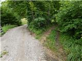 9
9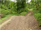 10
10 11
11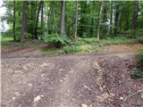 12
12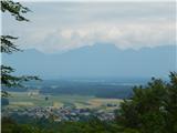 13
13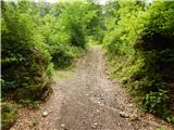 14
14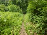 15
15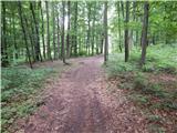 16
16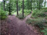 17
17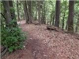 18
18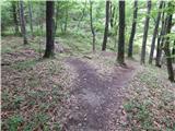 19
19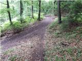 20
20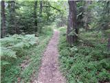 21
21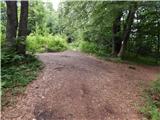 22
22 23
23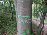 24
24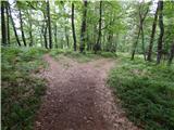 25
25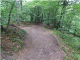 26
26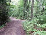 27
27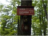 28
28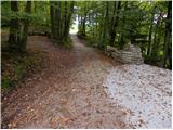 29
29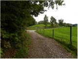 30
30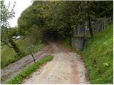 31
31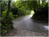 32
32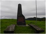 33
33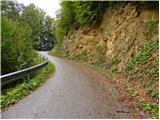 34
34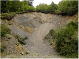 35
35 36
36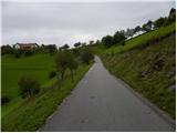 37
37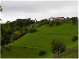 38
38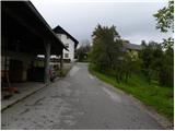 39
39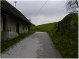 40
40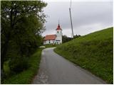 41
41 42
42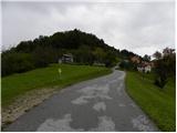 43
43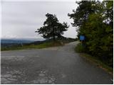 44
44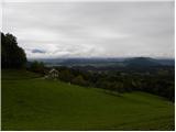 45
45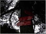 46
46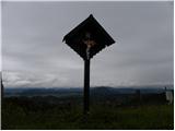 47
47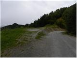 48
48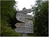 49
49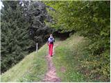 50
50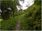 51
51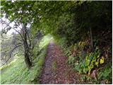 52
52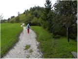 53
53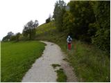 54
54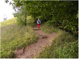 55
55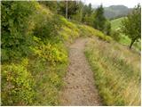 56
56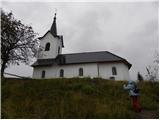 57
57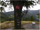 58
58 59
59
Discussion about the trail Rakovnik - Sveti Jakob (via Breznik)