Na jezercih - Begunjščica
Starting point: Na jezercih (950 m)
| Lat/Lon: | 46,4076°N 14,1947°E |
| |
Time of walking: 3 h 30 min
Difficulty: easy unmarked way, easy marked way
Altitude difference: 1110 m
Altitude difference po putu: 1110 m
Map: Karavanke - osrednji del 1:50.000
Recommended equipment (summer):
Recommended equipment (winter): ice axe, crampons
Views: 13.029
 | 1 person likes this post |
Access to the starting point:
From the Ljubljana - Jesenice motorway, take the Lesce exit and follow the road towards Žirovnica and Jesenice. After a few kilometres of driving, you will come to a crossroads where the road to Žirovnica and Moste turns off to the right (left from Jesenice). Just a few metres further on, at the next crossroads, turn left into Moste (right into Žirovnica). Continue past the memorial to the fallen fighters, where the road starts to climb uphill under the railway line. At the top of the hill, turn right (at the Vila Karin sign) and we continue towards Završniškem jezero and Valvasor's home. The road then bends and leads to a crossroads where the road to Valvasor's home branches off to the left and we continue straight ahead. The road continues past a nicely landscaped parking lot, and the asphalt road soon becomes a dirt road. The dirt road, which is asphalted in a few steep sections, leads us higher up to a small crossroads, where we continue to the right (straight Tinčkova koča and Zelenica). After the crossroads, the road crosses the Završnica stream and then starts to climb crosswise to the right. Continue for about 600 metres before you reach a sharp right turn, in the middle of which you cross the Globoki potok (Deep Stream). At the end of the bend, park in a suitable place on the roadside.
Path description:
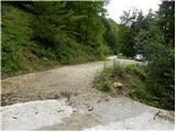
From the starting point we return to the bend, and there we see the start of a track by a stream, at first quite shabby old cart track. Climb up the left-hand side of the stream for a short distance, then cross it and move to the right-hand side. From here, climb cart track for a few minutes and then cross the stream bed again. The path continues to climb close to the stream bed, but the unmarked path, along which we can see some very old markings, leads us within a few minutes of further walking to a place where it splits into two parts.
Here you can either continue straight ahead along the rather broken path, which continues along the torrential stream, or continue to the right along the newer logging trail. If you continue to the right, then at the first fork take the left fork cart track, which will take you up to the nearby forest road in a few minutes. Once on the road, follow it to the left, and we walk along it to Tomč's hut on Poljška mountain pasture in 2 minutes.
From Tomč's hut, continue to the right, following the signs for Roblek's home, and continue your ascent along the path that turns into the forest. The path through the forest climbs moderately and soon leads to a place where several logs have been placed for heating Roblek's home. If we are in the mood and have enough strength, we can take a log to the hut (they will be very grateful).
Higher up, the forest on the trail becomes thinner and the path steeper. From the wide and well surfaced path, which is quite muddy after rain, we occasionally get beautiful views. The path then turns slightly to the left and leads us to a place where we join the path from the right with the mountain pasture of Preval.
Continue along the left-hand path which, after a further 10-minute cross-climb, leads to a mountain lodge.
From the hut, continue right in the route Veliki vrh to Begunjščica along the path which, after a few steps, goes into the forest. The Lane of the forest, which is short, quickly turns into bushes and higher up into dwarf pines. After a good 20 minutes of ascent from Roblek's home, we reach the next crossroads, where we continue again in the direction of Veliki vrh, which is the highest peak of Begunjščica (left Dom na Zelenica) at 2060 m. The path continues to climb crosswise, along the sometimes quite steep southern slopes of Begunjščice. The cross-country route offers beautiful views of the Gorenjska region. The path, which is also dangerous to slip in the wet, then leads us to a scenic peak, which we reach after a scenic and steep slope.

Pictures:
 1
1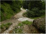 2
2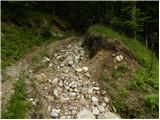 3
3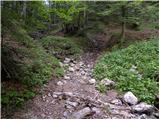 4
4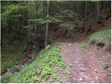 5
5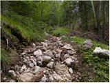 6
6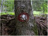 7
7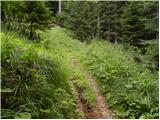 8
8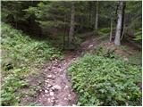 9
9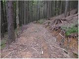 10
10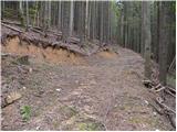 11
11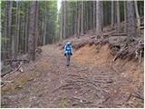 12
12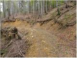 13
13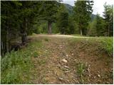 14
14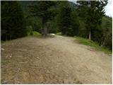 15
15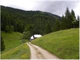 16
16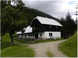 17
17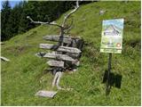 18
18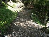 19
19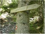 20
20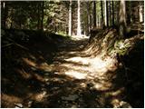 21
21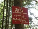 22
22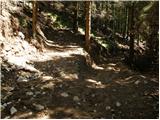 23
23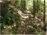 24
24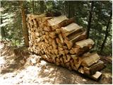 25
25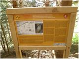 26
26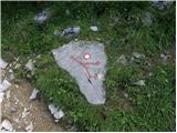 27
27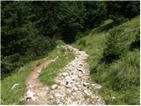 28
28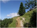 29
29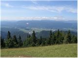 30
30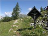 31
31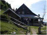 32
32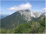 33
33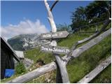 34
34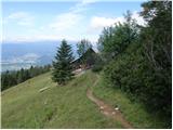 35
35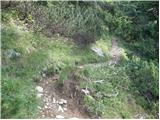 36
36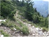 37
37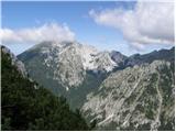 38
38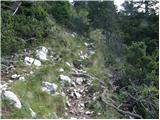 39
39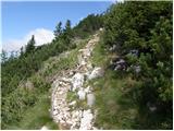 40
40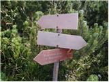 41
41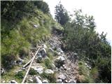 42
42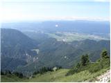 43
43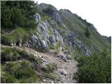 44
44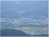 45
45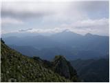 46
46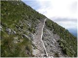 47
47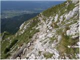 48
48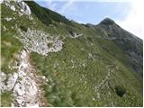 49
49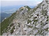 50
50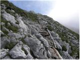 51
51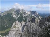 52
52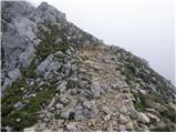 53
53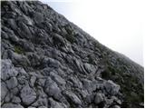 54
54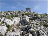 55
55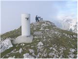 56
56 57
57
Discussion about the trail Na jezercih - Begunjščica