Lokavec - Veliki Rob (via Kucelj)
Starting point: Lokavec (170 m)
| Lat/Lon: | 45,902°N 13,8813°E |
| |
Name of path: via Kucelj
Time of walking: 4 h 15 min
Difficulty: easy marked way
Altitude difference: 1067 m
Altitude difference po putu: 1270 m
Map: Goriška - izletniška karta 1:50.000
Recommended equipment (summer):
Recommended equipment (winter): ice axe, crampons
Views: 6.574
 | 1 person likes this post |
Access to the starting point:
Take the expressway from Razdrteg to Nova Gorica or vice versa and take the Ajdovščina exit. Then turn left at the crossroads in the route Nova Gorica and drive to the village of Cesta, where the sign for Lokavec directs you to the right. Follow this road to the large parking area by the church in the village Lokavec, where there are also signs for Čaven.
Path description:
From the parking lot, continue along the road towards Čavna. The road climbs gently between the houses and soon leads to a small crossroads near a small stream. Here we continue along the left-hand road and the left-hand side of the stream, which leads us at the end of the village to cart track, which we then climb. Continue along cart track, which slowly turns into a footpath. The path crosses a worse forest road after a while and shortly afterwards leads to a crossroads, where we continue straight in the direction of Čavna. The path then leads to a small spring and then climbs steeply for a few dozen steps. The way forward leads us to unpaved slopes, which offer a beautiful view of the Nanos, Vipava valley and the surrounding hills. A little further on, the path again crosses a porer forest road and climbs parallel to it for a short distance. Just a little further on we come to a wider road, which we follow to the right, but only for a few steps, and then the signs direct us up to the left. The path ahead starts to climb steeper and crosses a marked path a little higher up, starting at the "tunnels".
Here you continue straight up the path, which is getting very steep. A little further on, the path, which most of the time has been through the forest, crosses again some scenic slopes. A little further on, the path leads us to a ridge where we have two options for continuing. The left one runs just below the ridge and is less scenic than the one along the ridge, but is more forgiving in the event of a strong storm. After 10 minutes, the two paths merge and lead to the uncultivated grassy slopes to the east of Mala Gora.
Here the steepness eases and the route continues through beautiful meadows where, in spring and summer, many mountain flowers are seen. A little further on, the path from Stomaž joins us from the left. Here we continue straight along the path, which leads us in a few minutes to the Cottage na Čavnu.
Behind the hut, the signs for Kucelj direct us slightly left on a footpath that starts to descend crosswise. The path crosses a short lane of forest, then turns to the right, where it continues to descend gently. The path then gradually enters the forest and the path from the village Kamnje joins us on the left (there are two turnoffs for Kamnje). Continue in the direction of Kuclja along the path, which gradually passes to the right side of the "Čavnov" ridge. The path continues through a large clearing, which opens up a view of the surrounding hills, and then returns to the forest. A little further on, leave the folded cart track and continue climbing to the left and on through the thick forest. The steepness soon gives way and the path leads us out of the forest onto increasingly scenic grassy slopes. A few minutes of easy walking follows, and then the path leads us under the very top of Kuclja, where it climbs steeply again. This path, which offers increasingly beautiful views, is then followed all the way to the top of Kuclja, which is reached after a few minutes of further walking.
From Kuclja, descend in the direction of Vrtovin along the path which, after a short descent, leads to a marked crossroads. Continue to the right in the direction of Veliki roba along a pleasant path that descends gently over the grassy slopes. Lower down, the path passes into lane of bushes and then joins the old road or track between the Vipava valley and the Trnovo forest. Follow the cart track to the right, and after a few minutes the signs for the Big Edge direct you left onto a footpath that gradually begins to climb the southern slopes of the Trnovski Forest. The occasionally quite scenic path retreats slightly to the right higher up on the ridge and briefly enters the dense forest, where the path from Cirque joins us from the right. After a short descent, the path begins to climb again, and this leads us out of the forest into the lane of dwarf pines, where it then continues along and along an occasionally quite steep ridge. This path, which offers beautiful views, is then followed all the way to the Big Rim.
Lokavec - Koča na Čavnu 2:15, Koča na Čavnu - Kucelj 45 minutes, Kucelj - Veliki rob 1:00.

Pictures:
 1
1 2
2 3
3 4
4 5
5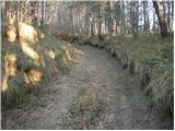 6
6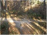 7
7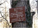 8
8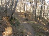 9
9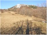 10
10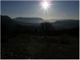 11
11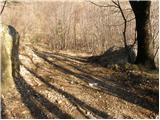 12
12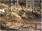 13
13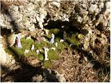 14
14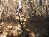 15
15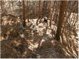 16
16 17
17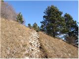 18
18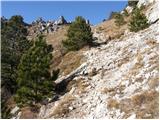 19
19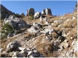 20
20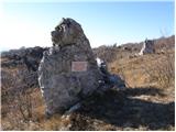 21
21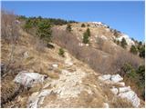 22
22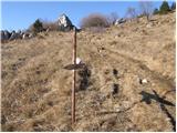 23
23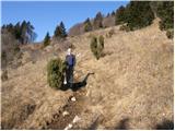 24
24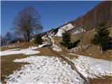 25
25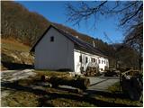 26
26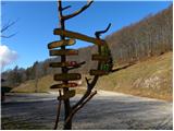 27
27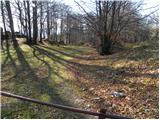 28
28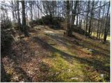 29
29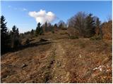 30
30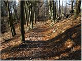 31
31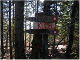 32
32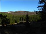 33
33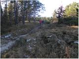 34
34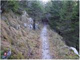 35
35 36
36 37
37 38
38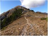 39
39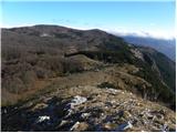 40
40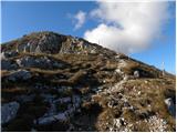 41
41 42
42 43
43 44
44 45
45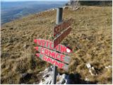 46
46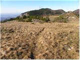 47
47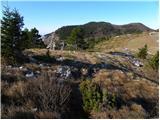 48
48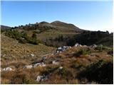 49
49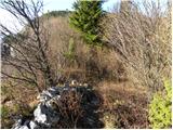 50
50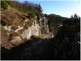 51
51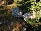 52
52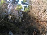 53
53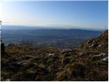 54
54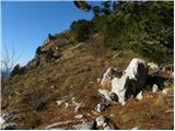 55
55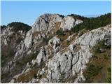 56
56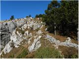 57
57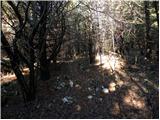 58
58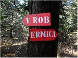 59
59 60
60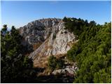 61
61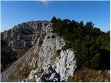 62
62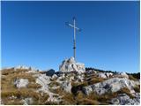 63
63 64
64
Discussion about the trail Lokavec - Veliki Rob (via Kucelj)
|
| miranm7. 04. 2013 |
Pozdravljeni!
Zanima me pot (časovno) iz Lokavca na "srednječavensko pot" ter nato na Veliki Rob.
Hvala.
|
|
|