Starting point: Ljubljanica (521 m)
| Lat/Lon: | 46,0317°N 14,2408°E |
| |
Time of walking: 45 min
Difficulty: easy marked way
Altitude difference: 267 m
Altitude difference po putu: 267 m
Map: Škofjeloško in Cerkljansko hribovje 1:50.000
Recommended equipment (summer):
Recommended equipment (winter):
Views: 6.193
 | 1 person likes this post |
Access to the starting point:
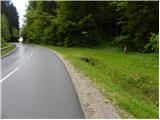
First we drive to Horjul (to get here from Dobrova near Ljubljana or Vrhnika), then we continue driving towards Vrzdenc, Šentjošt and Gorenjska vas. At Vrzdenec, the road starts to climb steeply, and then a little further on leads to a serpentine, in the middle of which the road to Šentjošt and Smrečje branches off to the left. Continue right along the main road, which soon leads to a small pass, at the end of which the road branches off to the right towards the village of Samotorica. As there are no suitable parking places on the preval, descend the road for another 100 m, and then you will see the NOB monument on your left, next to which you park.
The starting point can also be reached from the route of Gorenje vas and Polhov Gradec. In this case, at the hamlet of Ljubljanica, continue in the direction of Horjul. Park at the aforementioned monument, which is located about 200 m above the crossroads in Ljubljanica.
Path description:
From the monument, continue along the ascending road, which quickly leads to a crossroads where the asphalted road to the village of Samotorica branches off to the left. Take the road, which leads us in a moderate and sometimes quite steep ascent to a grassy ridge with a view. Here the road gently slopes down, and then, within a few minutes of further walking, leads us to the tourist farm Pr Hlipč. In addition to the farm, we pass by a few more houses, and then the road completely lays down and leads us to a place where the signs for Kožljek direct us to the left to the ascending cart track. After a short climb, cart track leads us to a less well-marked crossroads, where we continue to the hard right. Next, cross the hayfield, then cart track leads into lane wodland, where it turns left. Only a little further on, the markings with cart track direct us slightly to the right on a moderately steep footpath, which quickly leads us out of the forest. Once out of the wods, the path disappears completely, and we continue straight ahead towards the upper edge of the meadow. At the top edge of the meadow we see the markings for Kožljek, which direct us into the forest, on another well-traced path, which then takes us 5 minutes of steep climbing to reach the top.

Pictures:
 1
1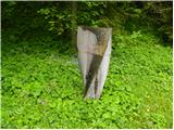 2
2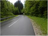 3
3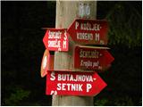 4
4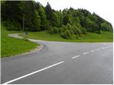 5
5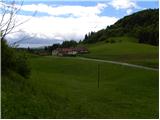 6
6 7
7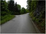 8
8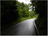 9
9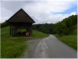 10
10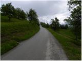 11
11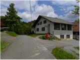 12
12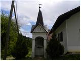 13
13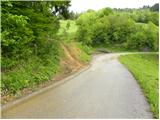 14
14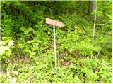 15
15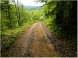 16
16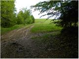 17
17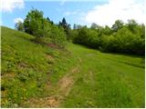 18
18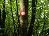 19
19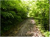 20
20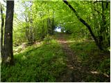 21
21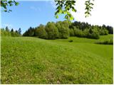 22
22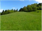 23
23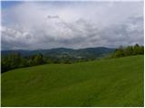 24
24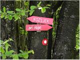 25
25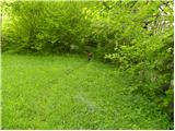 26
26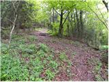 27
27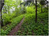 28
28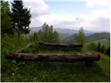 29
29 30
30
Discussion about the trail Ljubljanica - Kožljek