Starting point: Gradišče (250 m)
| Lat/Lon: | 45,8323°N 13,971°E |
| |
Time of walking: 1 h 15 min
Difficulty: easy marked way
Altitude difference: 484 m
Altitude difference po putu: 500 m
Map: Nanos 1:50.000
Recommended equipment (summer):
Recommended equipment (winter):
Views: 4.380
 | 1 person likes this post |
Access to the starting point:
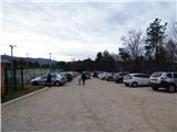
From Razdrto take the expressway to Nova Gorica or vice versa and take the Vipava exit. Follow the road onwards, towards Vipava and Gradišče. In the village of Gradišče, you will see the first mountain signs, which you follow to a large parking lot at Camp Tura above the village of Gradišče.
Path description:
From the parking lot we return to the road where we turn slightly left to where the signs for Plaz and Škavnica direct us. Go down the asphalt road for a few metres and then the signs for Plaz and Abram direct you right onto the footpath. The path starts to climb and then leads us past some vineyards. Continue northwards through low woods for some time, following the signs for Plaz and Abram. Occasionally the forest thins out a bit and we get a nice view of the Vipava valley and the surrounding peaks. A little higher up, the path leads to a small plain below the Plaz peak where there is a marked crossroads and a table and some benches along the way.
To the left is just a short climb to the top of Plaz, and we continue to the right where we are directed by the signs for Škavnica and Nanos-Abram. We quickly come to another crossroads where the left fork is the path into the valley towards Vipava, we continue to keep right and follow the signs for Abram and Škavnica. We continue to climb gently through the forest for a while, and then the second part of the trail from Vipava joins us on the left.
Continue right again and then start to climb a little steeper. A little higher we come to another crossroads where a sign for Škavnica (15 min) directs us to the left onto a narrower track. A wider straight path leads to Abram and Gradiška Tura.
From the crossroads we start to climb a little steeper on a narrow path through the forest. On the way, you will see orange-green arrows alongside the usual Knafelč markings. Continue climbing through the forest for a while and then you will see the rocks surrounding the top of Škavnica on your left. Continue along the rocks and the path will lead you out of the forest to the cross at the top of Škavnica. From the top, we have a very nice view of the Vipava valley.
If you continue from the top for another 5 minutes through the forest, you can visit an interesting open pavilion called the Theodosius Bivouac, next to which there are a few more benches.

Pictures:
 1
1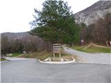 2
2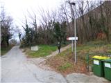 3
3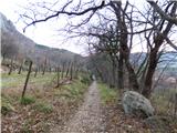 4
4 5
5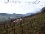 6
6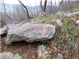 7
7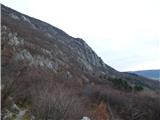 8
8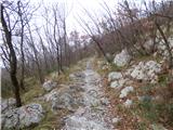 9
9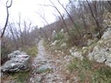 10
10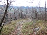 11
11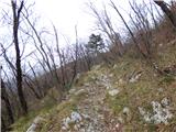 12
12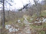 13
13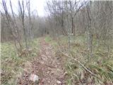 14
14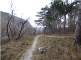 15
15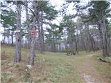 16
16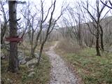 17
17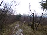 18
18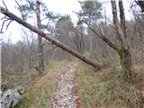 19
19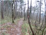 20
20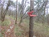 21
21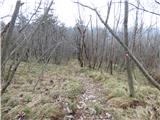 22
22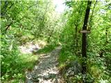 23
23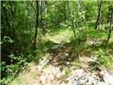 24
24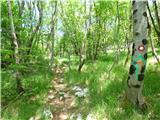 25
25 26
26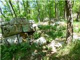 27
27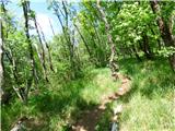 28
28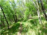 29
29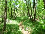 30
30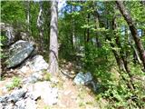 31
31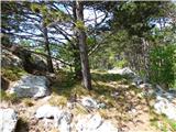 32
32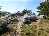 33
33 34
34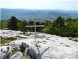 35
35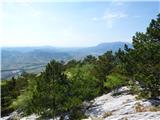 36
36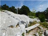 37
37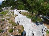 38
38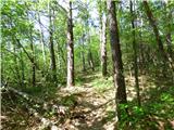 39
39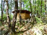 40
40 41
41
Discussion about the trail Gradišče - Škavnica