Dom Pristava in Javorniški Rovt - Kahlkogel/Golica (on ridge)
Starting point: Dom Pristava in Javorniški Rovt (975 m)
| Lat/Lon: | 46,454°N 14,0921°E |
| |
Name of path: on ridge
Time of walking: 2 h 45 min
Difficulty: easy unmarked way
Altitude difference: 860 m
Altitude difference po putu: 900 m
Map: Karavanke - osrednji del 1:50.000
Recommended equipment (summer):
Recommended equipment (winter): ice axe, crampons
Views: 20.530
 | 1 person likes this post |
Access to the starting point:
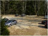
From the motorway Ljubljana - Jesenice take the exit Lipce and follow the road towards Jesenice. When you reach the semaphoreised junction where you join the old road, turn right in the direction of Žirovnice. Follow this road for only a short distance, as at the next slightly larger junction (traffic lights), turn left in the direction of Javorniški Rovto. The road then passes through an underpass (railway) and then turns left (Koroška Bela on the right). Follow the road, which starts to climb steeply higher up, in the direction of Javorníško Rovto. Follow the road to the parking lot near the mountain lodge.
Path description:
From the parking lot, walk to the mountain lodge, then continue your ascent along the initially less visible path that climbs up the left side of the marshy lake. Next, a beautifully visible and wide path leads us after a 5-minute walk to the road, where there is also a crossroads.
Continue right in the route Kahlkogel (left Javorniški Rovt, straight Španov vrh and Jelenkamen) and continue the ascent along the road, which first leads us past a large puddle, then turns right and leads us out of the forest. Once out of the forest, the view opens up towards Barentaler Kotschna, Medje dol and part of Belščice. The road, which continues to climb moderately, returns to the forest higher up and crosses a larger ravine, after which you soon arrive at a marked crossroads.
Leave the road here, which turns left and continues towards Križovec, and continue straight ahead on a less-traveled road. From the crossroads, walk along the road for just two minutes, then signs direct you left to cart track, which begins to climb steeply through the forest. After a few minutes of climbing, the path is laid and leads us out of the forest to the meadows of Pustega rovta, where we also join the road from Križovec. Here you continue straight along the gently sloping road, which quickly leads you to the nearby shepherd's hut.
From the shepherd's hut, continue along the road, which turns right into the forest at the upper part of Pusti Rovt. Just a little further on, you reach a marked crossroads, where you continue left (slightly right Sedlo Kočna and Barentaler Kotschna) along the road, which continues on a slight incline, crossing the slopes to the left. A little further on we are joined on the left by a path with Markljev Rovt, and the road quickly leads us to or just below Sedlo Suha.
From the road, walk a few steps to the boundary ridge, then continue westwards. The unmarked, but orientationally easy path begins to climb, first moderately and then steeply, along the grassy ridge of Mala Kahlkogel. The trail bypasses the summit on the left, then lays down and leads us in a short descent to an undistinguished saddle between Mala Golica and Krvavka. The path continues to climb along the ridge again and then retreats to the Slovenian side, where we cross the slopes of Krvavka. There is a short descent and the path leads to the saddle between Krvavka and Golica. From the saddle, continue along the unmarked path for a short distance and then join the marked path from Koča na Golici. Continue straight ahead and follow the increasingly scenic trail to the top of Kahlkogel, which you will reach without much difficulty.

Pictures:
 1
1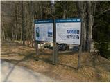 2
2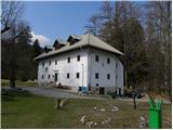 3
3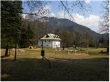 4
4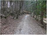 5
5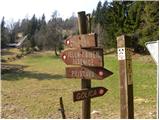 6
6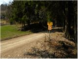 7
7 8
8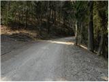 9
9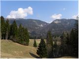 10
10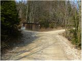 11
11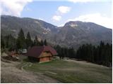 12
12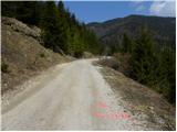 13
13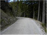 14
14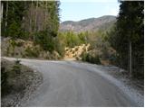 15
15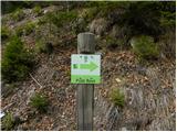 16
16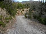 17
17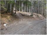 18
18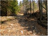 19
19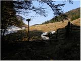 20
20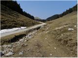 21
21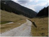 22
22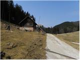 23
23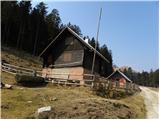 24
24 25
25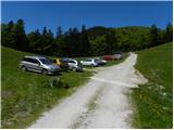 26
26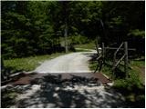 27
27 28
28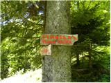 29
29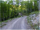 30
30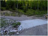 31
31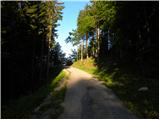 32
32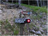 33
33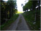 34
34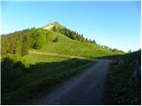 35
35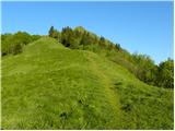 36
36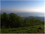 37
37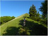 38
38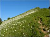 39
39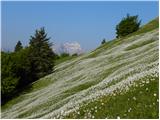 40
40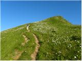 41
41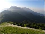 42
42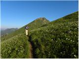 43
43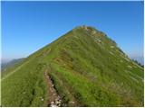 44
44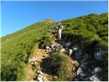 45
45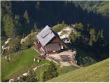 46
46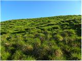 47
47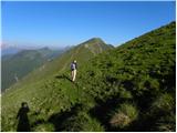 48
48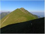 49
49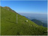 50
50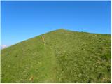 51
51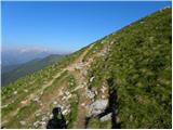 52
52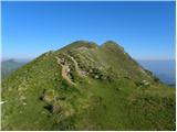 53
53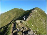 54
54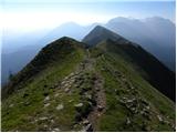 55
55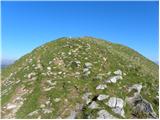 56
56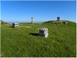 57
57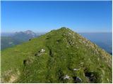 58
58 59
59
Discussion about the trail Dom Pristava in Javorniški Rovt - Kahlkogel/Golica (on ridge)