Bohinjska Bistrica - Črna prst (via Planina za Črno goro)
Starting point: Bohinjska Bistrica (530 m)
| Lat/Lon: | 46,2702°N 13,9568°E |
| |
Name of path: via Planina za Črno goro
Time of walking: 4 h
Difficulty: easy marked way
Altitude difference: 1314 m
Altitude difference po putu: 1345 m
Map: TNP 1:50.000
Recommended equipment (summer): helmet
Recommended equipment (winter): helmet, ice axe, crampons
Views: 6.680
 | 1 person likes this post |
Access to the starting point:
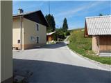
a) First, take the Bled, then continue driving towards Bohinj. When you arrive at Bohinjska Bistrica, continue from the roundabout in the direction of Soriška planina and Tolmin, and then arrive at Jelovška cesta, where the route described above starts at house number 10. Park somewhere nearby, preferably at the foot of the former Kobla ski slope.
b) From Železniki or Petrovy Brda, drive to Bohinjska Bistrica, where the route described above starts at house number 10 on Jelovška cesta. Park somewhere nearby, preferably at the foot of the former Kobla ski slope.
c) The starting point can also be reached by train.
Path description:
From Jelovška cesta 10 continue south-west, where after a few metres you will see the mountain markers for Črna prst. From the houses, the path turns to cart track, which will take you up to the WWI military cemetery of Ribro in a few minutes. A waymarked path bypasses the cemetery on the right and then leads across an expansive meadow where, a few minutes further on, you join the slightly wider cart track. Continue slightly left, then a few 10 metres ahead cross a dirt road where the initially distinct cart track gradually begins to climb. Higher up, at the fork cart track, take the right-hand fork with the old markers for Črna prst, and from this fork, slightly higher up, take another slight right onto a footpath which begins to climb more steeply. Keep climbing along the fairly sparse waymarks, then on a small mown meadow reach cart track, which is followed to the left, and after a few steps reach a wider dirt road.
When you reach the road, continue left downhill past the markings Črna prst (right old path towards Orožno's cottage), and a few 10 steps lower, at a marked crossroads, turn right in the direction of Črna prst, mountain pasture for Črna gora and Orožno's cottage. The path continues along the right-hand side, passing a private house (formerly the Dr. Janez Mencinger's Mountain Home), and then joins cart track a little further on, after which the ascent continues. A little higher, at a crossroads, continue right, and then the path continues through the forest. A little further on, the path leads past a log cabin and a cross, and then you arrive at a marked crossroads, where you continue to the left (Orožnova koča on the right).
The cart track turns into a footpath, which leads us a little higher to a forest road, which we follow to the right. Walk along the road for a few steps and then the signs for Črna prst direct you left on a steep path. The ascent continues along the initially relatively steep path, which then leads you past man-made canals that were designed to drain water (the canal was built to prevent water from entering the Bohinj tunnel). Higher up, the path completely lays down for a while and then climbs moderately to mountain pasture For Črna gora. When mountain pasture is reached, the marked path turns to the left and then semicircles around mountain pasture along the canal. On the other side of mountain pasture, continue left and start a moderate ascent through initially sparse forest. After a few minutes of further walking, the path turns into a forest, which leads to a marked crossroads, where we continue to the right in the direction of Črna prst (straight ahead Kobla, Soriška planina, Porezen. . . ).
Higher up, the path makes some long serpentines, and then leads us out of the increasingly sparse forest or belt of scrub to the scree below Rušnim vrh. Here the path lays down transiently, and then on the other side of the scree it begins to climb steeply up the grassy trough below the Home ridge. There is an increased risk of falling rocks in late spring. Higher up, the gully ends and the path crosses a short steep slope where snow may linger until early summer. Above the steep part, join the trail from Orožnove hut, and a few metres higher, climb to the ridge, which is reached at the Čez Suho saddle.
Here, continue to the right and, with views of Baška grapa, Bohinj and the highest peaks of Julian Alps, you will climb in a few minutes to the Doma na Črna prst, which is located just a few metres below the summit.
Go around the Zorko Jelinčič House on the left and climb the short steep slope to the summit in a few steps.
Bohinjska Bistrica - mountain pasture for Črna gora 2:15, mountain pasture for Črna gora - Čez Suho 1:30, Čez Suho - Črna prst 15 minutes.
Description and figures refer to the situation in 2017 (August).

Pictures:
 1
1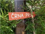 2
2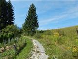 3
3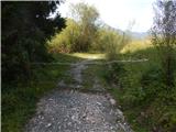 4
4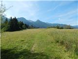 5
5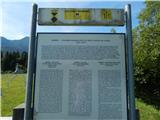 6
6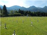 7
7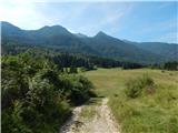 8
8 9
9 10
10 11
11 12
12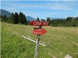 13
13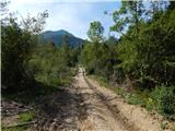 14
14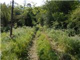 15
15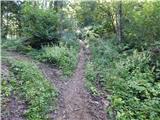 16
16 17
17 18
18 19
19 20
20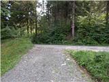 21
21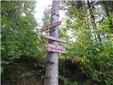 22
22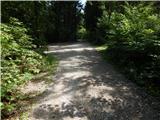 23
23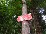 24
24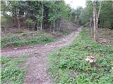 25
25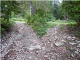 26
26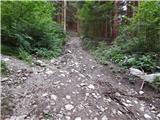 27
27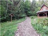 28
28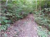 29
29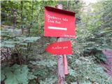 30
30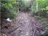 31
31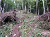 32
32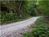 33
33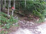 34
34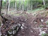 35
35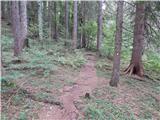 36
36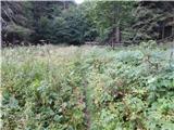 37
37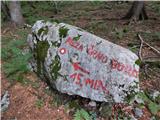 38
38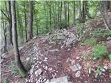 39
39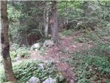 40
40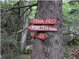 41
41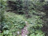 42
42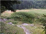 43
43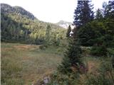 44
44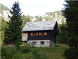 45
45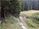 46
46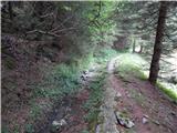 47
47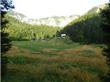 48
48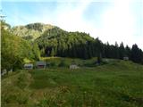 49
49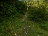 50
50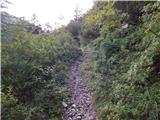 51
51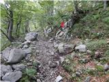 52
52 53
53 54
54 55
55 56
56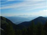 57
57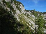 58
58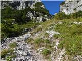 59
59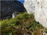 60
60 61
61 62
62 63
63 64
64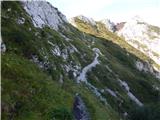 65
65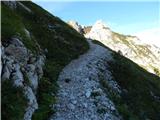 66
66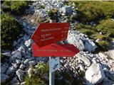 67
67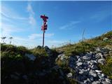 68
68 69
69 70
70 71
71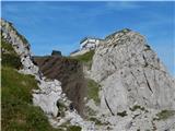 72
72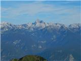 73
73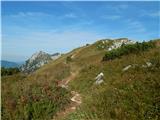 74
74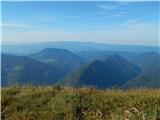 75
75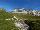 76
76 77
77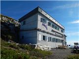 78
78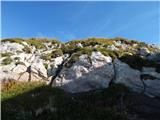 79
79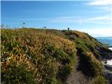 80
80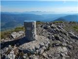 81
81 82
82
Discussion about the trail Bohinjska Bistrica - Črna prst (via Planina za Črno goro)