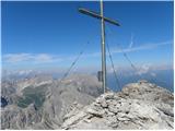
 | Lienzer Dolomitenhütte - Große Sandspitze (Panorama Kletterweg)
At 2772 m, Große Sandspitze is the highest peak in the Lienz Dolomites. From the summit, which has a sign-in box, we have a wonderful view of the...
5 h |
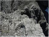 | Lienzer Dolomitenhütte - Daumen
Daumen is a 2720 m high peak located in the heart of the Lienz Dolomites. From a distance, the peak offers a beautiful view of the Lienz Dolomite...
4 h 30 min |
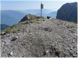 | Klammbrückl - Große Gamswiesenspitze (Madonnen Klettersteig)
Große Gamswiesenspitze is a 2488 m high mountain located in the heart of the Lienz Dolomites. From the summit, which has a sign-in box, you can e...
5 h |
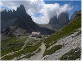 | Piano Fiscalino / Fischleinboden - Torre di Toblin / Toblinger Knoten
Torre di Toblin is a 2,617-metre-high peak located in the Dolomites di Sesto Natural Park. This difficult-to-access peak, which is reached by an ...
4 h 30 min |
 | Parking Erichhütte - Hoher Kopf (Königsjodler)
Hocher Kopf is located in the Berchtesgaden Alps, west of the highest peak, Höchkonig. The summit is well visited, especially because of the Köni...
7 h |
 | Palafavera - Monte Civetta (Via Ferrata Alleghesi)
Monte Civetta is one of the main mountains in the Dolomites. It is particularly notable for its north-west face, which is more than 1000 metres h...
6 h 30 min |
 | Erschbaum - Große Kinigat / Monte Cavallino (Klettersteig)
Große Kinigat is a 2,689 metre high peak in Carnic Alpsah. The peak is located in the western part of the Carnic Alps and is one of the few in th...
4 h 30 min |
 | Dösner Alm - Säuleck (Klettersteig)
Säuleck is a 3086m high peak in the High Tauern. From the summit, where the cross and the registration box are located, you can enjoy a beautiful...
6 h 30 min |
 | Landro - Torre di Toblin / Toblinger Knoten
Torre di Toblin is a 2,617-metre-high peak located in the Dolomites di Sesto Natural Park. This difficult-to-access peak, which is reached by an ...
4 h 30 min |
 | Ravenska Kočna - Grintovec (on ferrata and Frischaufova pot)
Grintovec is the highest peak in the Kamnik and Savinja Alps. It is located above the valley of Kamniška Bistrica, Suhi dol and above the valley ...
5 h 45 min |
 | Ravenska Kočna - Grintovec (on ferrata and Kremžarjeva pot)
Grintovec is the highest peak in the Kamnik and Savinja Alps. It is located above the valley of Kamniška Bistrica, Suhi dol and above the valley ...
5 h 45 min |
 | Ravenska Kočna - Jezerska Kočna (on ferrata and Frischaufova pot)
Jezerska Kočna is located west of Grintovec. From the summit there is a very beautiful view towards Grintovec. The Karawanks and the Gorenjska pl...
7 h |
 | Ravenska Kočna - Jezerska Kočna (on ferrata and Kremžarjeva pot)
Jezerska Kočna is located west of Grintovec. From the summit there is a very beautiful view towards Grintovec. The Karawanks and the Gorenjska pl...
5 h 30 min |
 | Ravenska Kočna - Skuta (on ferrata and over Dolgi hrbet)
Skuta is a 2532 m high mountain located in the heart of the Kamnik-Savinja Alps. From the top, where there is a registration box and a stamp, we ...
6 h 15 min |
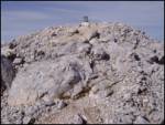 | Ravenska Kočna - Kokrska Kočna (on ferrata and Kremžarjeva pot)
Kokrska Kočna is a scenic and vast mountain between Jezersko and Suhadolnik. From the top, which has a registration box, there is a very nice vie...
6 h |
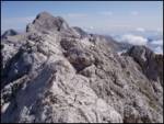 | Ravenska Kočna - Dolgi hrbet (on ferrata and Kremžarjeva pot)
Dolgi Hrbet is located between Grintovec and Skuta. The precipitous peak offers a beautiful view of the heart of the Kamnik and Savinja Alps. Dol...
5 h 30 min |