Pernica - Perniško jezero
Starting point: Pernica (247 m)
| Lat/Lon: | 46,57787°N 15,72659°E |
| |
Time of walking: 22 min
Difficulty: easy marked way
Altitude difference: -1 m
Altitude difference po putu: 15 m
Map:
Recommended equipment (summer):
Recommended equipment (winter):
Views: 24
 | 1 person likes this post |
Access to the starting point:
Path description:
Pictures:
 1
1 2
2 3
3 4
4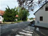 5
5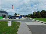 6
6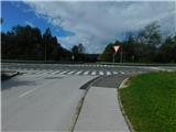 7
7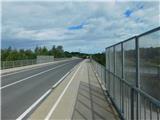 8
8 9
9 10
10 11
11 12
12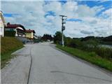 13
13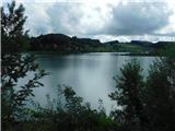 14
14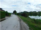 15
15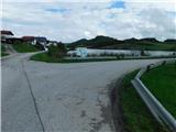 16
16 17
17 18
18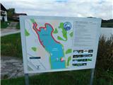 19
19 20
20
Discussion about the trail Pernica - Perniško jezero