Starting point: Žička kartuzija (410 m)
| Lat/Lon: | 46,3101°N 15,3933°E |
| |
Time of walking: 1 h 10 min
Difficulty: easy marked way
Altitude difference: 165 m
Altitude difference po putu: 245 m
Map:
Recommended equipment (summer):
Recommended equipment (winter):
Views: 2.042
 | 2 people like this post |
Access to the starting point:
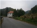
a) From the motorway Maribor - Ljubljana, take the exit Tepanje and follow the road towards Draža vas and Žičy. In Žiča, turn right towards Špitalič and Žička Carthusium. There are ample parking spaces next to the Carthusian Carriage House for safe parking.
b) From Frankolovo via Črešnjice and Sojek to Žiča Carthausia
c) From Poljčane via Loč, Žič and Špitalič to Žička Carthausia.
Path description:
After a short visit to the interesting surroundings of the Žička Carthusian Church, next to the oldest Slovenian Gastuž inn, which started its operation in 1467, we continue over the bridge over the Žičnica stream along the macadam road in the direction of Straža na Gori, or Dramlje. After about 200 metres, turn left onto a narrow forest road, while the previous road continues round a sharp right bend. Follow the road through the wooded area and you will soon reach a meadow. Again through the forest and reach a crossroads. Far left to the farmsteads called Hudin and Macuhek, straight ahead is the path over the crossroads Podgranček. We continue to the far right on a forest path partly logging trail, which rises steeply through a dense forest. Soon the path over the crossroads Podgranček joins us from the left. Follow the path higher and, if well marked, reach the asphalt road and the Jankar crossroads. Continue sharp left on the asphalt surface. Soon the old construction of a typical farmhouse from decades ago will be on the left side of the path. Follow the asphalt road higher, soon there is a short descent and the path from St Ursula (Dramlje) joins the Babček crossroads on the right at a height of 553 m. The path from St Ursula (Dramlje) also reaches the Babček crossroads at a height of 553 m. Continue higher, on the right side of the path, actually the road, there is a small hut. From here you can already see the destination, descend a few metres, to the left of the path is another farmhouse and to the right of the road you reach the summit of Babček at 575 metres. An inconspicuous peak, including a water feature practically at the top and some views, especially to the north and east, reward the route.
The route is about 2800 metres, 245 positive vertical metres and 75 negative vertical metres.

Pictures:
 1
1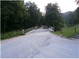 2
2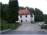 3
3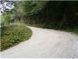 4
4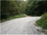 5
5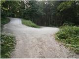 6
6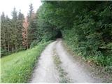 7
7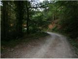 8
8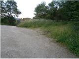 9
9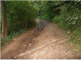 10
10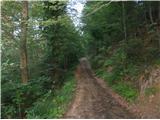 11
11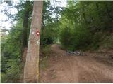 12
12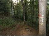 13
13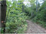 14
14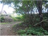 15
15 16
16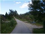 17
17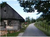 18
18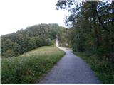 19
19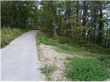 20
20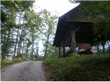 21
21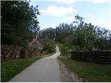 22
22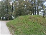 23
23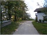 24
24
Discussion about the trail Žička kartuzija - Babček