Zgornja Dobrava - Šobčev bajer (via Ojstri vrh and by Sava)
Starting point: Zgornja Dobrava (509 m)
| Lat/Lon: | 46,3103°N 14,2123°E |
| |
Name of path: via Ojstri vrh and by Sava
Time of walking: 2 h 25 min
Difficulty: easy unmarked way
Altitude difference: -83 m
Altitude difference po putu: 90 m
Map: Karavanke - osrednji del 1:50.000
Recommended equipment (summer):
Recommended equipment (winter): crampons
Views: 488
 | 1 person likes this post |
Access to the starting point:
a) Take the Podbrezje exit (to get here from the Gorenjska motorway, take the Naklo or Tržič exit), then follow the signs for Kropa. At Lipnica, do not take the Lipnica exit to Kropa, but continue driving to the right towards Kamna Gorica. A little further on, leave the main road and turn right towards Zgornja Dobrava. After about 500 metres of ascent, we reach Zgornja Dobrava, and we drive on for another 100 metres to a junction on a small pass, where the road to Srednja Dobrava branches off to the right. At this junction, the footpath described above begins, but there are no parking spaces. You can park lower down on the road, or higher up on the part of the path description.
b) Leave the Gorenjska motorway at exit Radovljica, then take exit Mošnje and continue towards the village of Globoko, where you will also cross the Sava River. When you reach Mišače, continue straight on towards Zgornja Dobrava, and in Zgornja Dobrava you will reach a crossroads where the road to Srednja Dobrava branches off to the left. At this junction, the footpath described above begins, but there are no parking spaces. You can park lower down on the road, or higher up on the part of the path description.
Path description:
From the crossroads, take the road that continues north-west (the opposite road from the one leading to Srednja Dobrava), which initially takes you past the goat house and along the beautiful views of Jamnik. When the asphalt ends, we see signs for Ojstra peč, which directs us to a forest road, from which we soon turn right at an unmarked junction onto the wide, initially still passable cart track. Cart track is soon joined on the right by the path from Mišače, and we continue straight ahead on the gradually narrower cart track, which continues with a few short ascents and descents. After about 20 minutes of walking we reach the next marked crossroads, where we continue right towards Ojstra peč (left Zjavka 10 minutes), which we reach after a minute of further walking.
From Ojstra peč, continue slightly left, where a short path quickly joins another path, which you follow to the right. The trail continues along an undistinguished ridge with a few short ascents and descents. At a few crossroads follow the right-hand tracks, then the path descends steeply for a few minutes and leads to a crossroads at a small cross, where you continue right (left Kamna Gorica, straight Pusti grad) in the direction of Fuxova brv and Radovljica. After the pass, the cart track, which continues through the forest, starts to descend gently to moderately, and during the descent leads us past some information boards of the nature trail. A little lower down, the trail leads past a statue of the Mother of God of Lourdes, and when we leave the forest, cart track leads us along a private path. When the path returns to the forest after the private path, it splits again, and we continue to the right along the lower path (left of the Galleries) in the direction of Radovljica. When the forest thins out again, another path branches off to the left to Pusti grad (the usual route from Radovljica to Pusti grad), and we continue slightly to the right and start descending towards Fux's footbridge on the cart track.
Before Fuxova brv, near a bench with a nice view of the footbridge and the Sava River, we continue left on the path along the Sava. Continue walking along the right bank of the Sava River, and along the way you will see information boards for the Sava Trail. After the animals, the boulder and the former bridge, the path follows the river a little to the left and climbs out of the forest across a grassy plain, over which, with fine views, you reach the edge of the Lancovo settlement, where you join the asphalt road. While walking on the asphalt road, the path leads past the hydrological station of the Sava Radovljica, and after it you reach the main road, which you follow to the right over a bridge over the Sava River. On the other side of the bridge, continue left, initially on a dirt road, which ends after only 10 steps. The gently sloping path continues along the left bank of the Sava River, leading us past the fish, and then, after a small bridge over a side stream, it turns slightly to the right and gives way to the Sava River. There is some alternating walking through woods and across meadows, and then you arrive at a larger meadow where a short path, less than 5 minutes long, branches off to the right to the Lehnjak stream and its source. If you have decided to visit the stream, return to the 'main' path and then continue in the direction of Šobec. A little further on, at some beehives, you reach a macadam road, and a little further on another wider road, which you follow down to the left. After a short descent, you will reach a large parking lot at Šobčev bajer, where you continue to the left and walk through the entrance to the bivouac to Šobčovo bajerje. During the bathing season, access to the lake is free of charge.

Pictures:
 1
1 2
2 3
3 4
4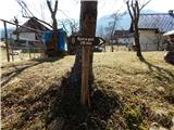 5
5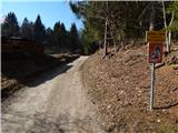 6
6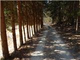 7
7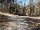 8
8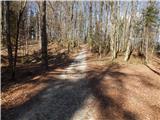 9
9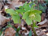 10
10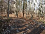 11
11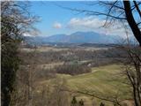 12
12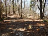 13
13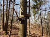 14
14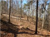 15
15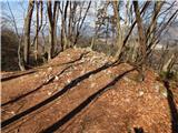 16
16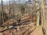 17
17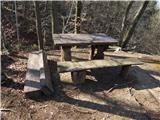 18
18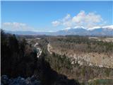 19
19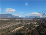 20
20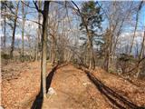 21
21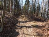 22
22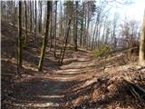 23
23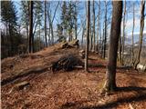 24
24 25
25 26
26 27
27 28
28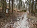 29
29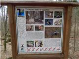 30
30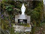 31
31 32
32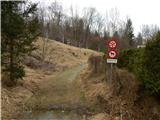 33
33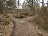 34
34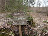 35
35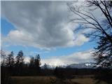 36
36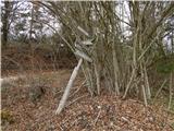 37
37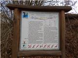 38
38 39
39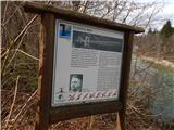 40
40 41
41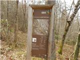 42
42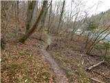 43
43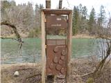 44
44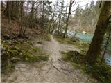 45
45 46
46 47
47 48
48 49
49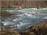 50
50 51
51 52
52 53
53 54
54 55
55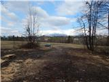 56
56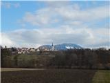 57
57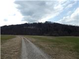 58
58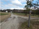 59
59 60
60 61
61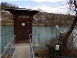 62
62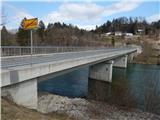 63
63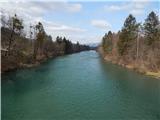 64
64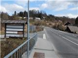 65
65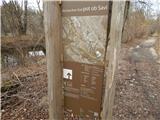 66
66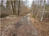 67
67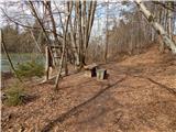 68
68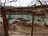 69
69 70
70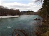 71
71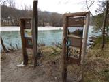 72
72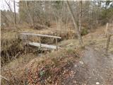 73
73 74
74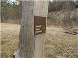 75
75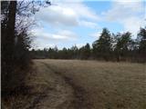 76
76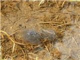 77
77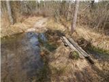 78
78 79
79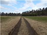 80
80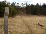 81
81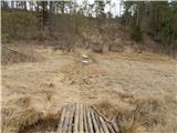 82
82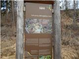 83
83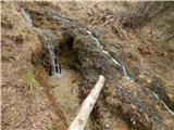 84
84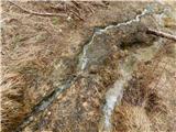 85
85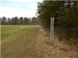 86
86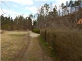 87
87 88
88 89
89 90
90 91
91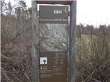 92
92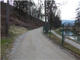 93
93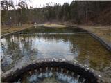 94
94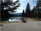 95
95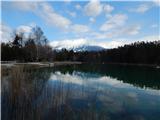 96
96
Discussion about the trail Zgornja Dobrava - Šobčev bajer (via Ojstri vrh and by Sava)