Železniki - Hujska (via Kres)
Starting point: Železniki (450 m)
| Lat/Lon: | 46,2249°N 14,1644°E |
| |
Name of path: via Kres
Time of walking: 45 min
Difficulty: easy unmarked way
Altitude difference: 256 m
Altitude difference po putu: 280 m
Map: Škofjeloško in cerkljansko hribovje 1:50.00
Recommended equipment (summer):
Recommended equipment (winter): crampons
Views: 1.470
 | 1 person likes this post |
Access to the starting point:
a) First drive to Škofja Loka, then continue driving towards Železniki. When you arrive in Železniki, first at the crossroads where the road to Kropa, Dražgoše and Rudne branches off to the right, continue straight ahead, then a little beyond the Mercator shop, or opposite the Niko d. o. o. company, continue right in the direction of Podlonk and Prtovča. Immediately after leaving the main road, turn right in the direction of the forest trail Kres and the sports hall Železniki, next to which you will park.
b) From Cerkno, Podbrdo or Sorice, drive to the Log Hall and then continue towards Škofja Loka. When you arrive in Železniki, leave the main road and drive left in the direction of Podlonk and Prtovča. Immediately after leaving the main road, turn right towards the forest nature trail Kres and the sports hall Železniki, where you can park.
Path description:
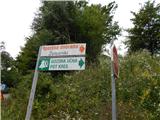
From the starting point at the Železniki sports hall, continue in the direction of the Kres forest nature trail, first crossing the Dašnjica stream over a small bridge, and then, when you reach another asphalt road about 100 m further on, turn left, walk along it for a minute or two, and then, at the forest nature trail information board, turn sharp right (slightly right along the trail that bypasses the top of the Kres), so that you are climbing above the road. Climb along the edge of the forest for a few minutes, and you will have beautiful views of Železniki from the path, and the path, which has a few trail signs along it, soon turns into the forest. We continue to climb moderately through the forest for a few minutes, then the path lays down and leads us to the undistinguished summit of Kres, from which we continue for some time without any major changes in altitude, or we climb up and down again a few times. When we reach a larger meadow, the forest trail Kres turns sharp left and descends back across to the tarmac road, and we continue straight ahead, across the meadow and into the forest. On the other side of the meadow, we start to climb up and along an indistinct ridge Hujska, and the trail leads us through dense forest. Higher up, the path becomes steeper (the steep part can be left to the right at cart track), and then, when the above-mentioned cart track joins from the right, it becomes slightly flatter. When the two paths join, the cart track ends, and we continue straight ahead, along a moderately steep path, reaching the top of Hujska in a few minutes of further walking.
Description and pictures refer to the situation in 2016 (July).

Pictures:
 1
1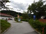 2
2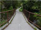 3
3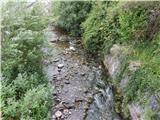 4
4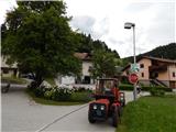 5
5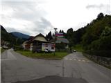 6
6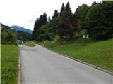 7
7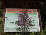 8
8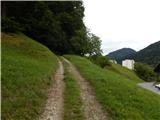 9
9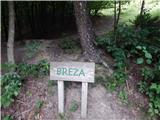 10
10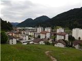 11
11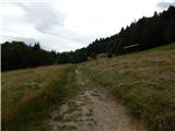 12
12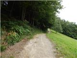 13
13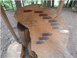 14
14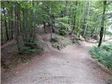 15
15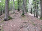 16
16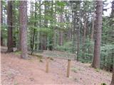 17
17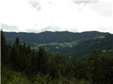 18
18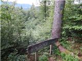 19
19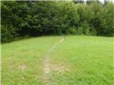 20
20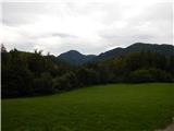 21
21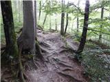 22
22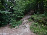 23
23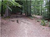 24
24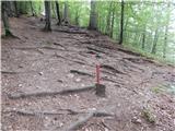 25
25 26
26
Discussion about the trail Železniki - Hujska (via Kres)