Zalog - Velika Poljana (direct way)
Starting point: Zalog (600 m)
| Lat/Lon: | 46,3281°N 14,363°E |
| |
Name of path: direct way
Time of walking: 2 h
Difficulty: easy marked way
Altitude difference: 810 m
Altitude difference po putu: 810 m
Map: Karavanke - osrednji del 1:50.000
Recommended equipment (summer):
Recommended equipment (winter): ice axe, crampons
Views: 7.272
 | 1 person likes this post |
Access to the starting point:
From the motorway Ljubljana - Jesenice take the exit Kranj West and follow the road towards Golnik. Shortly after the village Tenetiše, you will see signs for the village of Goriče, which will direct you to the right on the local road. Just a little further on, you will come to the next crossroads, where you will continue to the right in the direction of the village Trstenik and Preddvor. We do not follow this road for long either, because after a few metres we will notice a sign with the inscription Zalog, which directs us to the left on the ascending road, which we then follow to the mentioned village. In the middle of the village, a little before the church, you will notice a road that turns right from the main road. Follow this road and you will soon see signs along it. Follow this road for about 1km, then park in one of the roadside car parks.
Path description:
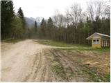
From the starting point we continue on the road along which we parked, but it is getting worse and it leads us higher to the NOB monument, where we leave it and continue the climb right on the ascending cart track. At the point where the cart track, which we continue to climb, turns left, we will see a path on the right which starts to climb steeply through the forest (the start is not marked).
The path, along which you will notice rare markings, then leads past a small chapel to a less well-marked crossroads, at which you will notice a pleasant bench on a lookout.
From the lookout point, continue along the path, which ascends slightly to the right (left Mala Poljana) and after a few steps into the forest, where it begins to climb steeply. The path soon turns into a wide, vegetated ridge, where it continues for some time.
After a while, the relatively steep path, which turns slightly to the right higher up, leads to the wide cart track, where the path from Povelj joins.
Continue straight ahead on the ascending cart track, which leads past the "refreshment rom" to where a marked footpath branches off to the left from cart track. The ascent can be continued along the above-mentioned footpath, which climbs over grassy slopes, or along the cart track, which climbs along the edge of the forest. The two paths merge higher up and lead easily to the hut on Velika Poljana.

Pictures:
 1
1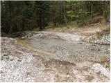 2
2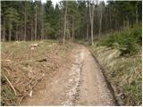 3
3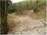 4
4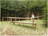 5
5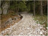 6
6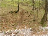 7
7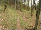 8
8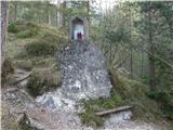 9
9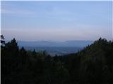 10
10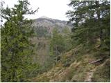 11
11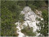 12
12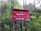 13
13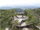 14
14 15
15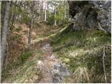 16
16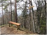 17
17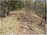 18
18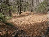 19
19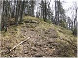 20
20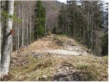 21
21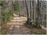 22
22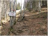 23
23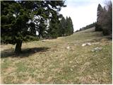 24
24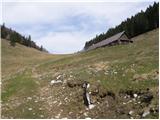 25
25
Discussion about the trail Zalog - Velika Poljana (direct way)