Vrtovin - Veliki Modrasovec
Starting point: Vrtovin (360 m)
| Lat/Lon: | 45,9099°N 13,8204°E |
| |
Time of walking: 3 h 10 min
Difficulty: easy marked way
Altitude difference: 993 m
Altitude difference po putu: 1035 m
Map: Goriška 1:50.000
Recommended equipment (summer):
Recommended equipment (winter): ice axe, crampons
Views: 4.232
 | 1 person likes this post |
Access to the starting point:
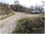
a) From the expressway Razdrto - Nova Gorica take the Ajdovščina exit, then turn left at the junction towards Nova Gorica. Continue along the regional road towards Nova Gorica to Vrtovin, and turn right in the middle of the village towards Čavno. Follow the road as it climbs through the village in the direction of St. Paul, Kuclj and Čavno at the crossroads. Park in the small parking lot at the end of the village, near the mountain signs.
b) From the motorway Nova Gorica - Razdrto take the exit Selo, then when you get on the old road Nova Gorica - Ajdovščina continue right towards Nova Gorica. Follow the regional road towards Ajdovščina to Vrtovin, and turn left in the middle of the village towards Čavno. Follow the road as it climbs through the village in the direction of St. Paul, Kuclj and Čavno at the crossroads. Park in the small parking lot at the end of the village, near the mountain signs.
Path description:
From the parking lot, continue along the road on the left in the direction of Kuclje and St. Paul. After a few minutes' walk, the road leads to a crossroads where the mountain path to Kucelj and Čaven branches off to the right (straight on along the St. Paul road). The ascent continues along the marked, partly stony cart track, which climbs through occasionally sparse forest. A little higher, you reach a marked crossroads, where you continue slightly right in the direction of Mala gora and Čavna (slightly left Kucelj). The old, partly scratched cart track continues to climb transversely to the right, but higher up it turns into a slightly steeper footpath, which crosses a forest road after a while. Continue in the direction of Čavno and cross a larger clearing just a little further on, which opens up a fine view towards Kuclju. On the other side of the clearing, the path returns to the forest and continues to climb cross-country on the wide cart track. Higher up, another cart track branches off to the right towards the village Kamnje, and we continue in the same direction as we have been walking so far, and within a few minutes of further walking we reach the hunting hut or bivouac Črna peč.
From the hunting lodge, where we cross the Middle Cava Trail, we continue in the direction of Mala gora and Čavna. The trail returns to cart track immediately above the hut, and continues to lead us under steep slopes, where it is possible that a stone may fly in from the left. Despite the low probability of falling rocks, caution is still necessary. Cart track and the same slope are quickly laid and the path quickly leads us out of the forest to the Hut on Mala gora, where the next marked crossroads are.
From the Hut on Mala gora, continue left into the forest and continue climbing the moderately steep cart track, which quickly leads to the next crossroads. This time continue right in the direction of Čavno (left Kucelj) and quickly climb the slightly steeper path to the more beaten track leading from the Cottage on Čavno towards Kuclju.
Follow this path to the right, and we will climb it in about 15 minutes to the Hut na Čavnu.
From the hut, the signs for Modrasovec and Golake direct us to a meadow, across which we climb crosswise into the forest. Once in the forest, we quickly cross the undistinguished ridge of Maly Modrasovec (here an unmarked trail branches off to the right to Mali Modrasovec for 5 minutes), and we continue straight ahead along cart track, which descends slightly and turns slightly to the right. Just a little further on, we come to a marked crossroads where we continue straight on in the direction of Modrasovec (slightly to the right Golaki). We continue our ascent along a wider, but rather overgrown path which gradually changes to the right side of the ridge. From the wide path, or worse cart track, a marked footpath soon branches off to the left, and within a few minutes of further walking you will reach the top of Veliki Modrasovac.

Pictures:
 1
1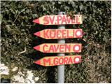 2
2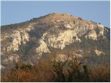 3
3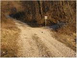 4
4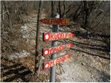 5
5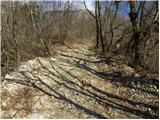 6
6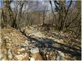 7
7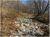 8
8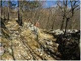 9
9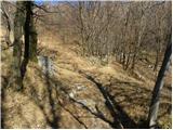 10
10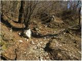 11
11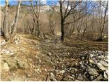 12
12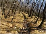 13
13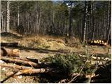 14
14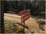 15
15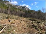 16
16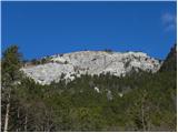 17
17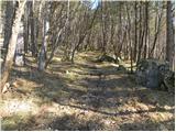 18
18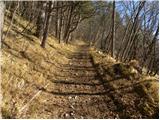 19
19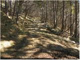 20
20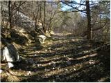 21
21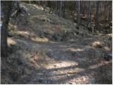 22
22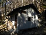 23
23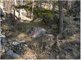 24
24 25
25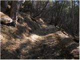 26
26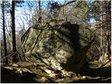 27
27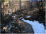 28
28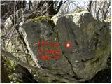 29
29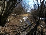 30
30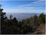 31
31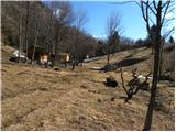 32
32 33
33 34
34 35
35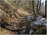 36
36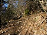 37
37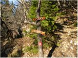 38
38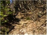 39
39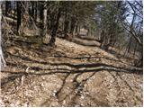 40
40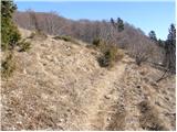 41
41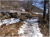 42
42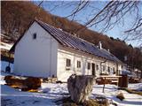 43
43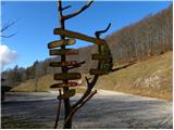 44
44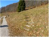 45
45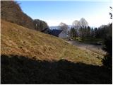 46
46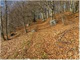 47
47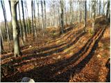 48
48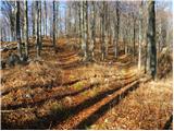 49
49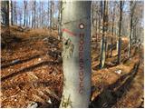 50
50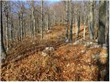 51
51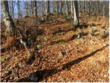 52
52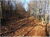 53
53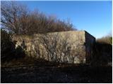 54
54 55
55
Discussion about the trail Vrtovin - Veliki Modrasovec