Starting point: Vrbljene (307 m)
| Lat/Lon: | 45,9482°N 14,4891°E |
| |
Time of walking: 2 h 15 min
Difficulty: easy marked way
Altitude difference: 800 m
Altitude difference po putu: 800 m
Map: Ljubljana - okolica 1:50.000
Recommended equipment (summer):
Recommended equipment (winter):
Views: 12.791
 | 1 person likes this post |
Access to the starting point:
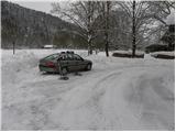
From the southern Ljubljana ring road, take the Rudnik exit and follow the road towards Ig. At the roundabout at Igo, turn right in the route Iška vas, then in the village of Staje, turn right towards the village of Vrbljene. At Vrbljene, turn left and continue for about 100 m, then you will see a fire station on the side of the road. Turn right here and then park in the parking lot near the hippodrome Vrbljene.
Path description:
Behind the fire station, you'll see signs leading you to a wide footpath that starts at the hippodrome. The path soon joins a smaller local road, which you follow to the right for about 5 minutes. At the point where the road turns right, you will notice a wide cart track, which leads us after a few steps to a mountain direction board. Here, the markings for Krim direct us to the left, on a still completely winding path, which soon crosses the Iška River via a bridge. Just after the bridge, the path passes into the forest, where it then climbs moderately to steeply along the wide and, in summer, quite overgrown cart track. A well-marked path, it crosses some cart tracks higher up and then joins the more beaten track from Strahomer village.
Continue in the direction of Krima along the gently sloping path, which leads us only slightly further on to the next crossroads, where we join the wide cart track. Continue slightly left in the direction of Krimo (right down Tomišelj) on the slightly steeper cart track, which crosses a forest road higher up. Cart track, which runs through the forest the whole time, is re-laid and leads us a little further on to the next crossroads, where the path from Podpeč and Preseri joins us on the right. Continue along the wide, moderately steep cart track, which leads us higher up to the macadam road leading to Krim. Follow the road to the left, which quickly leads to a large parking lot, or turning point, where the path from Iški Vintgar (also the path from Iška vas and the path from Strahomer across Kramarca) joins from the left. Here, continue right across the meadow along the path, which leads you past the cross and to the top of Krim in a few minutes' walk.

Pictures:
 1
1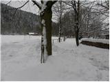 2
2 3
3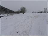 4
4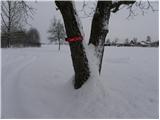 5
5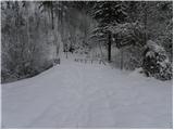 6
6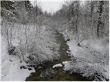 7
7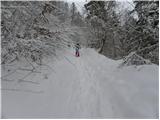 8
8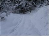 9
9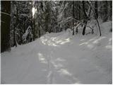 10
10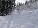 11
11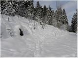 12
12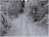 13
13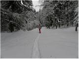 14
14 15
15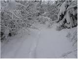 16
16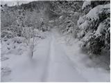 17
17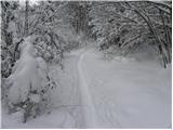 18
18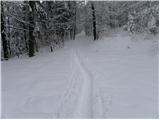 19
19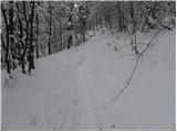 20
20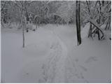 21
21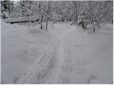 22
22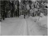 23
23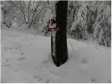 24
24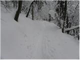 25
25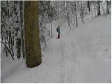 26
26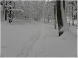 27
27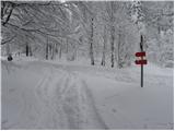 28
28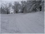 29
29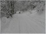 30
30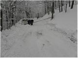 31
31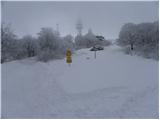 32
32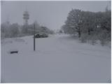 33
33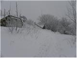 34
34 35
35
Discussion about the trail Vrbljene - Krim
|
| rs561. 02. 2010 |
Vidim,da si hodil z krpljami.Kako se je hodilo po celem snegu in pa po gazi.Kakšnje uporabljaš.Tudi sam sem pred nakupom krpelj,pa me zanima tvoja izkušnja.
|
|
|
|
| rs561. 02. 2010 |
A misliš,da bi bile za 100 kg dovolj velike,ali bi potreboval večje, naprimer TSL 227 80-140 kg. Če slučajno poznaš razliko
|
|
|
|
| Tadej2. 02. 2010 |
Dolge so 60 cm, široke pa 20 cm, kako dolge so TSL 227, pa ne vem.
|
|
|
|
| Tadej2. 02. 2010 |
Podatki za krplje Inook.
Inook VXm:
Velikost krpelj: 62,0 x 20,5 cm
Priporočljiva teža: 50 - 100 kg
Priporočljiva velikost: 165 - 200 cm
Inook VXl:
Velikost krpelj: 57,0 x 19,0 cm
Priporočljiva teža: 35 - 80 kg
Priporočljiva velikost: 150 - 180 cm
|
|
|
|
| rs562. 02. 2010 |
Hvala Tadej,danes sem kupil v Iglu sport TSL 227. Bile so znižane iz 160€ na 95€. Sedaj pa na kakšno tako turo kot ti,da jih sprobam.Me pa še zanima pot,če poznaš iz Jezera na Krim preko Planince. Za prvi maj smo šli z prijatli po tej poti.Je shojena,ali bo treba gazit
|
|
|
|
| Tadej2. 02. 2010 |
Kakšna je pot v spodnjem delu ne vem, v zgornjem delu pa je lepo shojena.
|
|
|
|
| jbs30. 03. 2019 |
V vednost. Pot z Vrbljen na Krim od 1. 1. 2017 ni več vzdrževana in je opuščena.
|
|
|
|
| Mikens23. 06. 2019 |
POMEMBNO!
Vse pohodnike naprošam, naj imajo pse na vrvici! (območje medveda.)
Lep lovski pozdrav.
Klement Mal, LD Tomišelj
|
|
|