Starting point: Vojsko (1077 m)
| Lat/Lon: | 46,0237°N 13,9031°E |
| |
Time of walking: 1 h 30 min
Difficulty: easy marked way
Altitude difference: 71 m
Altitude difference po putu: 200 m
Map: Škofjeloško in Cerkljansko hribovje 1:50.000
Recommended equipment (summer):
Recommended equipment (winter):
Views: 13.731
 | 1 person likes this post |
Access to the starting point:
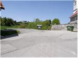
First we drive to Idrija and then we continue in the direction of Vojsko. After about 14 km drive from Idrija, on a road that initially climbs quite steeply, we arrive in the centre of the village, where we park in the parking lot next to the Church of St. Joseph.
Path description:
From the church parking lot, first descend the stairs to the nearby road, which you follow to the left, and then walk to the nearby inn with accommodation at Medvedov. Behind the inn, you will see signs for the Slovenia Printing House, which will direct you to a gently descending and initially still fully asphalted road. The road, which continues with some short ascents and descents on the Vojskarski plateau, is followed in the direction of the Partisan Printing House Slovenia, and then, when the road towards the printing house turns sharp right, in the direction of Hudournik and the Partisan cemetery or burial site. The road continues along the Vojskarski plateau, and after a while leads to a beautifully laid-out partisan cemetery or burial ground. Continue along the road, and we follow it past the last houses to a place where the markers for Hudournik direct us slightly to the right to a folded cart track. Cart track first crosses lane wodland, then leads to a larger meadow where it turns into a pleasant footpath. Continue along the above-mentioned path, which, within a few minutes of further walking, leads us to the panoramic and spacious Hudournik, a grassy slope.

Pictures:
 1
1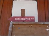 2
2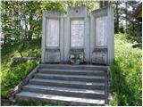 3
3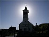 4
4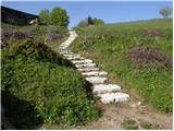 5
5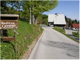 6
6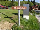 7
7 8
8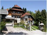 9
9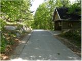 10
10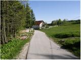 11
11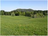 12
12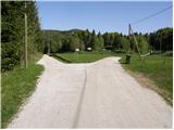 13
13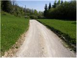 14
14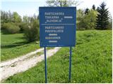 15
15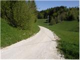 16
16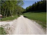 17
17 18
18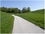 19
19 20
20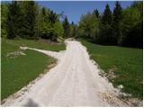 21
21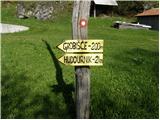 22
22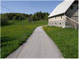 23
23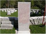 24
24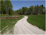 25
25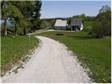 26
26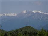 27
27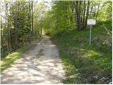 28
28 29
29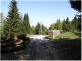 30
30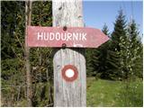 31
31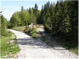 32
32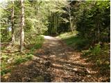 33
33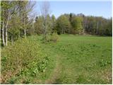 34
34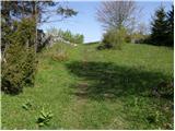 35
35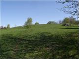 36
36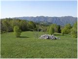 37
37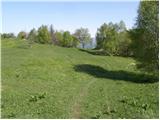 38
38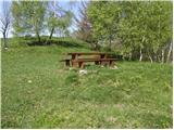 39
39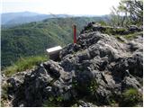 40
40 41
41
Discussion about the trail Vojsko - Hudournik
|
| klavdipo28. 02. 2013 |
Je bil kdo gor po tem obilnem sneženju? Je vpisna skrinjica dostopna? LP
|
|
|
|
| klavdipo4. 03. 2013 |
Sem šla kar sama preverit, razmere so o.k., skrinjica je dostopna! Drugače pa je Hudournik res lep razglednik. LP
|
|
|
|
| miri4. 03. 2013 |
Jaz tudi.Snega krepko čez meter,vendar drži možakarja na vrhu.Bližnji sosed pravi,da ga je letošnjo zimo zapadlo 4,70m. Lp
|
|
|
|
| ločanka27. 05. 2021 21:10:00 |
Omenjene gostilne pri Medvedovih (6) ni več že kakih 10 let. Drugače pa prelepa pot! Nekaj utrinkov s poti po Vojskarski planoti, na trenutnih razmerah  .
|
|
|