Ukova (Jesenice) - Mirca (via Pekova plan'ca)
Starting point: Ukova (Jesenice) (600 m)
| Lat/Lon: | 46,4362°N 14,0468°E |
| |
Name of path: via Pekova plan'ca
Time of walking: 1 h 20 min
Difficulty: easy unmarked way
Altitude difference: 425 m
Altitude difference po putu: 425 m
Map: Karavanke - osrednji del 1 : 50.000
Recommended equipment (summer):
Recommended equipment (winter): ice axe, crampons
Views: 2.690
 | 4 people like this post |
Access to the starting point:
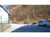
From the motorway Ljubljana - Jesenice take the exit Lipce (Jesenice East), where you turn right towards Jesenice. At the first traffic light intersection on Slovenski Javornik turn left towards the town centre. At the second traffic light intersection (by the gymnasium) turn sharp right back onto Tomšičeva cesta, passing the primary school on the left. After the school, cross the pedestrian crossing and immediately turn into the first (narrower) street on the left. After climbing a few 10 m, you will see a marked parking lot on the right - our starting point.
Path description:
From the parking lot, follow the road uphill. After 10 m, you will see the Ukova summer bath on the left and the road on the right, which turns north uphill into the forest.
Follow it for a short distance, i. e. to the right-hand bend, in front of which, on the same side, is a fenced water reservoir. On the other - left - side, take the path that intersects the double curve of the road you have left. Here you will also come across the first signpost. Cross the road again quickly and take the path which starts to climb northwards. When it turns left a little higher up, it joins the cart track, where we come across the route sign "Jelenkamen Pristava". Cross cart track and continue along the left-hand side of the signpost, following the short logging trail, uphill to the west. Here we see the first markings in the trees (the path over the seven ravines), which we do not follow, but cross the marked path and logging trail, which climbs gently to the right, and we climb up the wooded slope on the left-hand side of logging trail. From here on, we will notice a large number of markings (white lines) on the tree trunks along our route, and there are quite a few of them all along the hillside, so don't be fooled by them. Continue up the steeper slope on the path, which turns left at a slightly higher altitude and leads to more level terrain. Here the path disappears, and we immediately turn right through the forest uphill, where, after a few minutes' climb, we come across logging trail. Bear right and follow logging trail for a short distance until it forks at the beginning of a section of mainly spruce forest, where you continue to the left. The terrain flattens out, and we soon reach the remains of a former bark house (currently covered with blue polyvinyl) among the spruces. This partly grassy plain in the middle of the forest is called "Pekova plan'ca" by the locals. From the remains of the house, continue south to the left, to the edge of the slope, from where you can partially see into the valley and towards Mežakla. Turn right here and continue north-west along a pleasant path along the edge of the slope. Soon the path from the valley joins us on the left, and we continue straight ahead. The path then curves slightly to the right through the woods and leads us a little higher up to a slightly steeper climb, where it still more or less follows the edge of the south-western slope of the hill. Higher up, on the grassy part, we get some views of the Julian Mountains from Triglav, and along the way we also find an improvised bench where we can rest. Just a little higher up, the path leaves the edge, turns slightly right, and briefly crosses the south-eastern slope to the north. Before leading us to the eastern, shadier slope, the path turns almost perpendicularly left towards the summit (straight or slightly left - a barely visible traverse on the steep eastern slope). A little higher up, the path leads us again to the south-western edge of the hill, where we get some views towards the valley and Mežakla on the left, and a few metres off the path to Kahlkogel, Krvavka and Črni vrh on the right. After a moderate climb of a few minutes along the path along the edge, this leads us to the top of Mirca, where we encounter cairn. D

Pictures:
 1
1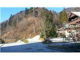 2
2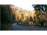 3
3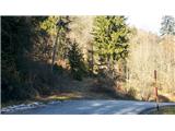 4
4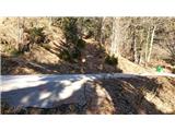 5
5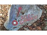 6
6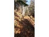 7
7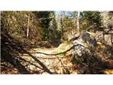 8
8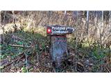 9
9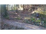 10
10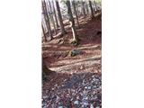 11
11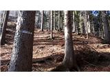 12
12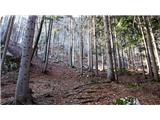 13
13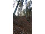 14
14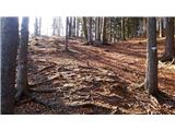 15
15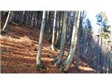 16
16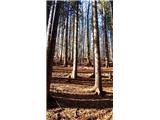 17
17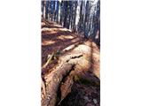 18
18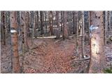 19
19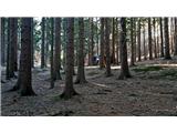 20
20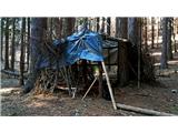 21
21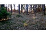 22
22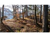 23
23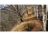 24
24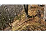 25
25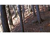 26
26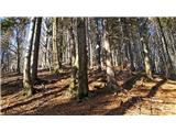 27
27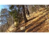 28
28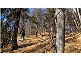 29
29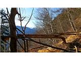 30
30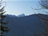 31
31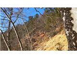 32
32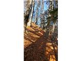 33
33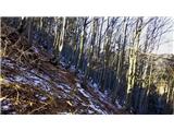 34
34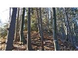 35
35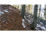 36
36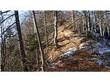 37
37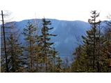 38
38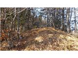 39
39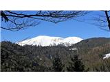 40
40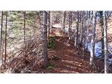 41
41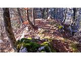 42
42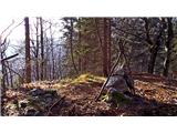 43
43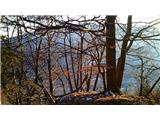 44
44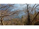 45
45 46
46
Discussion about the trail Ukova (Jesenice) - Mirca (via Pekova plan'ca)
|
| Jusk14. 11. 2018 |
Danes popoldne sem sel po tej poti,je pa na Pekovi planci vse posekano  vreme megleno,pot od Ukove gor blatna,naprej spolzka.. sestopil po drugi poti na Murovo
|
|
|
|
| Jusk20. 11. 2019 |
Začetek poti na Ukovi,gor čez "sedem grabnov" in naprej na vrh,nazaj na Murovo in po razgledni do Ukove. Potok Ukova je že malo upadel,ampak vseeno čez sedem grabnov ni šlo drugače kot kak korak po vodi,mi je bilo malo žal da nisem škornjev obul 
|
|
|