Tržič (Slap) - Kamnek (Po Seili)
Starting point: Tržič (Slap) (540 m)
| Lat/Lon: | 46,366°N 14,3169°E |
| |
Name of path: Po Seili
Time of walking: 55 min
Difficulty: partly demanding marked way
Altitude difference: 333 m
Altitude difference po putu: 333 m
Map: Karavanke 1:50.000 - osrednji del
Recommended equipment (summer):
Recommended equipment (winter): ice axe, crampons
Views: 1.450
 | 1 person likes this post |
Access to the starting point:
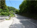
Drive to Tržič, then continue to Dovžana Gorge. Still in Tržič, after the parish church and the cemetery, which are to the right of the road, turn left onto the bridge over Tržiška Bistrica (in front of the bridge there is a sign saying that vehicles over 8. 5 tonnes are not allowed to cross the bridge). After the bridge, the route described above starts and we park in a suitable place.
Path description:
From the bridge, continue along the asphalt road, which leads you past some buildings and then starts to climb crosswise to the right. A few 10 metres further from the transformer, continue slightly left on cart track, which climbs past the allotments and then passes into the woods. In the woods, the markers for Kamnek with cart track direct us slightly left, onto a path which initially climbs parallel to the track, then turns left and climbs cross-country to a crossroads a few minutes away.
From the crossroads, follow the path on the left in the direction of the Seila trail (right path over the Ride). There is a few minutes of cross-climbing before reaching a ridge where the path turns right and starts to climb steeply. The path continues past a bench, and at a small crossroads above the bench, continue along the ridge, then reach a technically difficult place where you climb steeply using the fixed safety gear. When the fixed safety gear ends, the path is steep for a short time, then it flattens out and joins the Radetzky path higher up, and this is joined on the right by another path from the hamlet of Slap, the path over the Ride.
Again, continue straight on, and at the next crossroads go slightly right in the direction of Kamnek (the slightly left path goes around the top). A few minutes of steep walking follows, and the increasingly scenic path leads to Kamnek.
Description and pictures refer to the situation in 2017 (May).

Pictures:
 1
1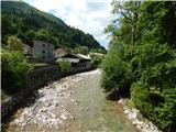 2
2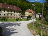 3
3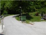 4
4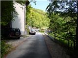 5
5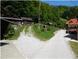 6
6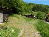 7
7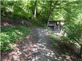 8
8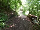 9
9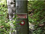 10
10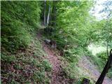 11
11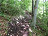 12
12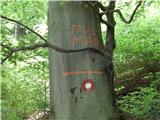 13
13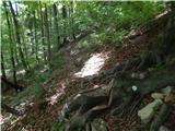 14
14 15
15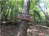 16
16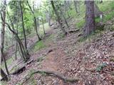 17
17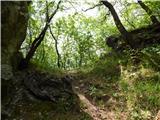 18
18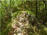 19
19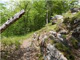 20
20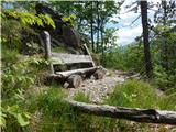 21
21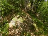 22
22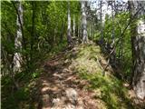 23
23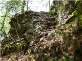 24
24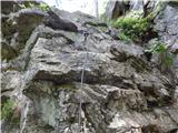 25
25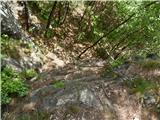 26
26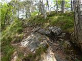 27
27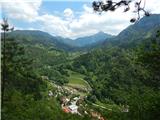 28
28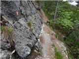 29
29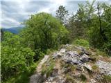 30
30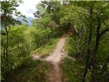 31
31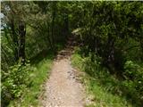 32
32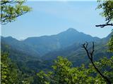 33
33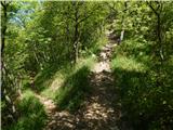 34
34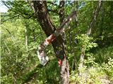 35
35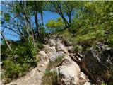 36
36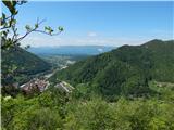 37
37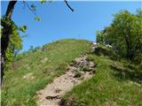 38
38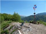 39
39 40
40
Discussion about the trail Tržič (Slap) - Kamnek (Po Seili)
|
| grega_p25. 05. 2025 17:37:36 |
Izgleda, da pot ni preveč v uporabi, to verjetno velja samo za spodnji del do stika z grebensko potjo, saj je kar zaraščena. Prav tako je odcep (slika št.9.) slabo viden zaradi neke manjše poseke.
Drugače pa strm, zanimiv, razgiban svet, ki poskrbi za raznolik vzpon. Kamnek je pa odličen razglednik!
|
|
|