Torka - Gladki vrh (Ratitovec)
Starting point: Torka (1160 m)
| Lat/Lon: | 46,2309°N 14,0807°E |
| |
Time of walking: 1 h 20 min
Difficulty: easy marked way
Altitude difference: 507 m
Altitude difference po putu: 507 m
Map: Škofjeloško in Cerkljansko hribovje 1:50.000
Recommended equipment (summer):
Recommended equipment (winter): ice axe, crampons
Views: 5.813
 | 1 person likes this post |
Access to the starting point:
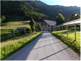
First we drive to Škofja Loka, then we continue to Železniki and on to Podbrdo. Shortly (about 2 to 3 km) after Zali Log, you will notice signs for the villages Ravne and Torka, which direct you to the right on the ascending road. A steep and narrow road leads us higher up to Ravne, where at the crossroads we continue on the right road, which we then follow to the hamlet or farm Torka, which is the starting point for our tour. As there are no suitable parking places at the starting point, it is best to turn right at the farm and follow the forest road for another 100 m and then park at a suitable place along the road.
Path description:
From the farm, continue along the right-hand road, which crosses the slopes in a slight ascent to the right. The road then passes into the forest, where it leads past a small spring and the lower station of the cargo cableway leading to Ratitovec to a place where a mountain direction sign for Ratitovec directs us to the left to the ascending cart track (if you continue along the road, you will arrive at the Po(v)den saddle). After a short climb, a marked trail from the village Prtovč (the trail via Po(v)den) joins us from the right, and we continue to the left and follow cart track for a few more minutes.
When cart track ends, we continue on the well-trodden mountain path, which gradually starts to climb steeper and steeper. The path, which initially passes through a forest, soon leads to uncultivated slopes, where it climbs even steeper. The steep and increasingly scenic path, which passes over steep slopes that are dangerous in winter for slipping and avalanches, suddenly dips higher up and turns left, leading us to the grazing areas of Ratitovec. From here it is about 5 minutes of easy walking and the path, which offers beautiful views of Porezen and the surrounding peaks, leads us to the Krekova hut on Ratitovec.
From the hut, continue straight along the slightly steeper path towards Gladki vrh. Follow this increasingly scenic route all the way to Gladki vrh, which is reached after 5 minutes of further walking.

Pictures:
 1
1 2
2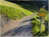 3
3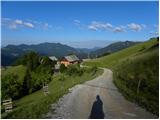 4
4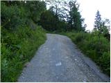 5
5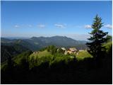 6
6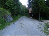 7
7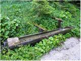 8
8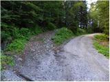 9
9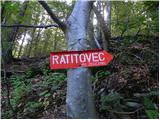 10
10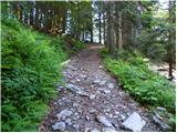 11
11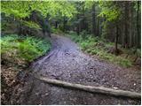 12
12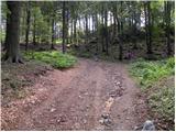 13
13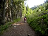 14
14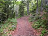 15
15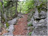 16
16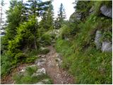 17
17 18
18 19
19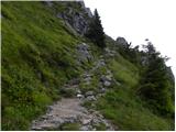 20
20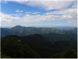 21
21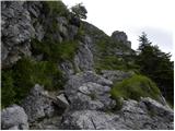 22
22 23
23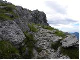 24
24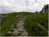 25
25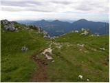 26
26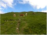 27
27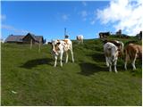 28
28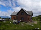 29
29 30
30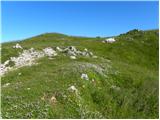 31
31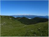 32
32 33
33
Discussion about the trail Torka - Gladki vrh (Ratitovec)