Topla (Končnik) - Čofatijev vrh (via Šoparjev vrh)
Starting point: Topla (Končnik) (1155 m)
| Lat/Lon: | 46,48428°N 14,75762°E |
| |
Name of path: via Šoparjev vrh
Time of walking: 1 h 50 min
Difficulty: easy unmarked way
Altitude difference: 451 m
Altitude difference po putu: 475 m
Map: Koroška 1:50.000
Recommended equipment (summer):
Recommended equipment (winter):
Views: 1.060
 | 1 person likes this post |
Access to the starting point:
a) Drive to Črna na Koroškem, then continue in the direction of Koprivna and the Topla valley. Continue along the Meži River, where the road leads past the turnoff to Podpeca, and turn right off the main road at the junction where the signs for the Topla valley direct you to the right. The valley is then followed by a drive, where some paths to Peca branch off to the right, and we follow the road to the Končnik homestead, or a little further on to a small crossroads by the NOB memorial (the memorial is on the right above the road), where we park in a suitable place.
b) Drive to Solčava, then follow the signs for Črna na Koroškem. There is a few kilometres of ascent and then a few kilometres of descent to reach the valley of the Meža River. When you reach the valley, turn left from the crossroads at the 4 km road marker into the Tople valley. Follow the valley, where a few paths to Peca branch off to the right, and follow the road to the Končnik homestead, or a little further on to a small crossroads by the NOB memorial (the memorial is right above the road), where you park in a suitable place.
Path description:
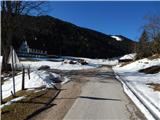
From the crossroads by the NOB memorial, continue along the road on the left (the road leading straight ahead ends at the nearby house, or changes to cart track), at which you will see a sign indicating that you will continue along the forest road. The road quickly leads to the other side of the stream Topla, where it forks.
Continue along the right-hand road in the direction of Koprivna (the left-hand road leads to a hunting lodge), which climbs through the forest and after a few minutes leads to a left-hand serpentine, where there is also a small crossroads. To the left, the carriageway continues towards Koprivna, and to avoid walking on the road, we take the road to the right, from which after a few steps we turn left onto the partly grassy cart track. After a short moderate climb, the path leads into the woods, where it joins the wider cart track, which we follow to the left. Further on, cart track has a few small forks where you can choose wider paths. The rather steep cart track, near a wooden sign (a cross), returns to the aforementioned carriageway leading to Koprivna.
Follow the road to the right and then, at a sort of extension where there is a snow gauge, continue left on cart track, which leads towards Šoparjev vrh. Cart track quickly turns into a dense forest, and we then follow the unmarked path to the nearby Šoparjev vrh, from which we have a nice view towards Pec and Topla.
From Šoparjev vrh, where there is a larger clearing and some wider tracks lead to it, continue south to the south-east, initially following cart track along the edge of the forest, the track quickly turning into forest. Through the forest, the path continues mostly on a wooded ridge, but the direction remains the same most of the time. At first the path is quite steep, occasionally it even descends a little, but in the second part it starts to climb gently at first and then a little steeper in the last part. At a few crossroads, follow the ridge path, which then leads to the scenic, but still somewhat overgrown, Čofati Peak.
Starting point -Šoparjev vrh 1:15, Šoparjev vrh - Čofatijev vrh 35 minutes.
Description and pictures refer to the situation in 2017 (November).

Pictures:
 1
1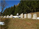 2
2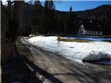 3
3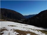 4
4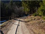 5
5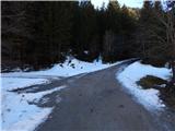 6
6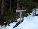 7
7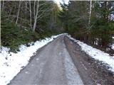 8
8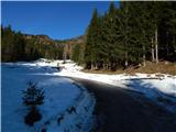 9
9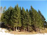 10
10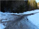 11
11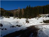 12
12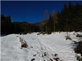 13
13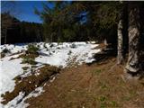 14
14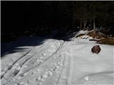 15
15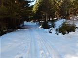 16
16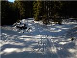 17
17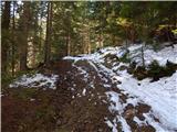 18
18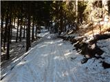 19
19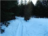 20
20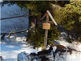 21
21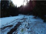 22
22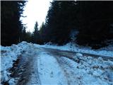 23
23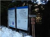 24
24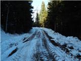 25
25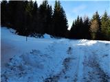 26
26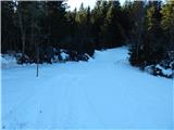 27
27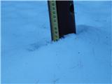 28
28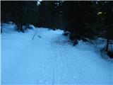 29
29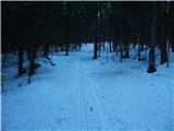 30
30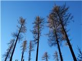 31
31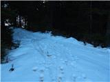 32
32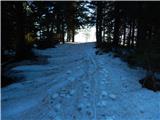 33
33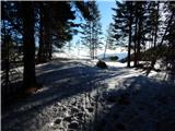 34
34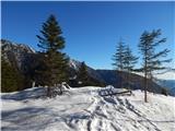 35
35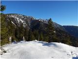 36
36 37
37 38
38 39
39 40
40 41
41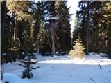 42
42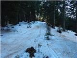 43
43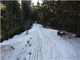 44
44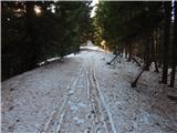 45
45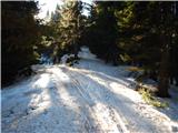 46
46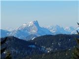 47
47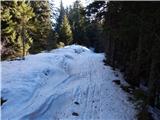 48
48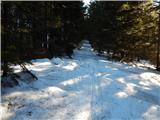 49
49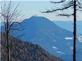 50
50 51
51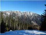 52
52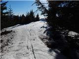 53
53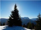 54
54 55
55
Discussion about the trail Topla (Končnik) - Čofatijev vrh (via Šoparjev vrh)