Starting point: Tomišelj (315 m)
| Lat/Lon: | 45,9625°N 14,4822°E |
| |
Time of walking: 2 h 15 min
Difficulty: easy marked way
Altitude difference: 792 m
Altitude difference po putu: 792 m
Map: Ljubljana - okolica 1:50.000
Recommended equipment (summer):
Recommended equipment (winter):
Views: 20.205
 | 1 person likes this post |
Access to the starting point:
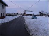
From the southern Ljubljana ring road, take the Rudnik exit and follow the road towards Ig. At the roundabout at Igo, turn right in the route Iška vas, then in the village of Staje, turn right towards the village of Vrbljene. In Vrbljene, turn right and continue driving to Tomišelj, where you can park in the parking lot next to the sports ground.
From the motorway Ljubljana - Koper, take the exit Brezovica and then continue in the direction of Podpeči. In Podpeča, continue in the direction of the village Jezero, then follow the signs for Tomišelj, where you can park in the parking lot next to the sports ground.
Path description:
From the parking lot, walk first to the parish hall, where you will see a number of stairs leading quickly up to the church in the village. At the top of the stairs, you will see signs for Krim, which direct you to the right to cart track, which immediately turns into a forest. The cart track, which climbs moderately, only occasionally a little steeper, crosses some forest roads higher up, and then joins the usually more beaten track from Strahomer.
Continue slightly right towards the Krim (left down Vrbljene and Strahomer) on the slightly steeper cart track, which crosses a forest road higher up. Cart track, which runs through the forest the whole time, is re-laid and leads us a little further on to the next crossroads, where the path from Podpeč and Preseri joins us on the right. Continue along the wide, moderately steep cart track, which leads us higher up to the macadam road leading to Krim. Follow the road to the left, which quickly leads to a large parking lot, or turning point, where the path from Iški Vintgar (also the path from Iška vas and the path from Strahomer across Kramarca) joins from the left. Here, continue right across the meadow along the path, which leads you past the cross and to the top of Krim in a few minutes' walk.

Pictures:
 1
1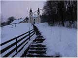 2
2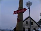 3
3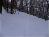 4
4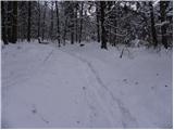 5
5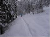 6
6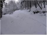 7
7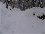 8
8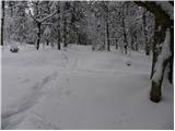 9
9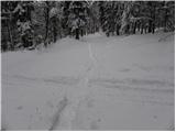 10
10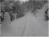 11
11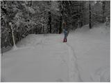 12
12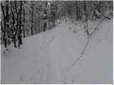 13
13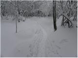 14
14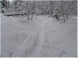 15
15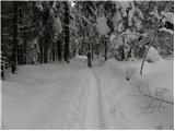 16
16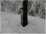 17
17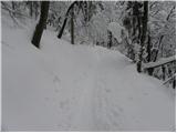 18
18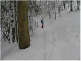 19
19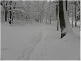 20
20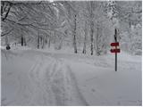 21
21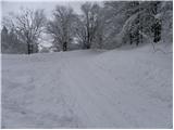 22
22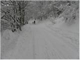 23
23 24
24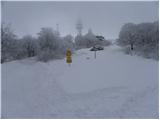 25
25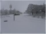 26
26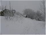 27
27 28
28
Discussion about the trail Tomišelj - Krim
|
| miamia4. 05. 2015 |
25.4.2015 smo šli po tej poti, zelo prijetna, in naš 5-letnik jo je brez težav premagal, hodili pa smo 2,5 uri - res počasi.
|
|
|
|
| bobeka11. 05. 2015 |
Pot je sicer super, manjka pa malce označb za manj izkušene pohodnike. Na začetku je veliko gozdnih poti, ki se križajo z pravo potjo in so zaradi dela dela v gozdu precej sveže in zavedejo pohodnike. Sicer če se držiš levih poti se ni moč preveč zgubiti, vseeno pa ni fajn z nekim dvomom hoditi po gozdu.
|
|
|
|
| Mikens23. 06. 2019 |
POMEMBNO!
Vse pohodnike naprošam, naj imajo pse na vrvici! (območje medveda.)
Lep lovski pozdrav.
Klement Mal, LD Tomišelj
|
|
|