Starting point: Strmca (788 m)
| Lat/Lon: | 45,8005°N 14,5482°E |
| |
Time of walking: 1 h 10 min
Difficulty: easy marked way
Altitude difference: -40 m
Altitude difference po putu: 40 m
Map: Snežnik 1:50.000
Recommended equipment (summer):
Recommended equipment (winter):
Views: 5.540
 | 1 person likes this post |
Access to the starting point:
a) From Ljubljana, drive towards Kočevje or vice versa, but only as far as Velike Lašče, where you turn right (left from Kočevje) in the direction of Nová vas na Blokah. Continue along the road, which is occasionally a bit more winding and also climbing, passing by a few small settlements. Higher up, we reach the edge of the Bloška plateau, where the road is laid, and we arrive in the village of Strmca, where a local road branches off to the left towards the settlement Mramorovo pri Lužarjih. There are no parking spaces at the junction where the route starts. Park somewhere nearby in a suitable place along the road.
b) First drive to Novo vas na Blokah, then continue in the direction of Velike Lašče, we then drive past the settlement Nemška vas na Blokah, then towards Velike Lašče we drive to the settlement Strmca, where we notice signs for Mramorovo at Lužarji, pointing to the right. There are no parking spaces at this junction, where the route starts. Park nearby in a suitable place along the road.
Path description:
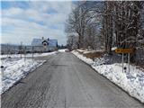
From the crossroads continue along the local road towards Mramorovega, but the rather gently sloping road first leads us to a few houses in the village of Strmca, where we continue slightly left at a small crossroads. After a few minutes of walking on the asphalt road, we cross meadows with a view that reaches all the way to Snežnik. In Mramorovo pri Lužarjih we continue in the direction of the village Kotel, and after the last house in Mramorov, the road loses its asphalt coating. After a few minutes, when the dirt road towards Kotlo turns slightly to the left, we continue straight on to cart track, which is the continuation of the European footpath. The way ahead leads us partly through the forest and partly across the vast meadows of the Bloža plateau, crossing first the Blatni potok and later the Runarščica. Shortly after crossing the Runarščice, the path from Runarsko joins us from the left. At the next few crossroads, as well as at the previous ones, follow the signs for the European walking route E6, which leads almost to Bloško jezero, which the E6 route bypasses on the left. When you are closest to the lake, continue to the right and within a minute or two of further walking you will reach the lake.
Description and pictures refer to the situation in 2016 (January).

Pictures:
 1
1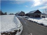 2
2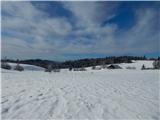 3
3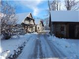 4
4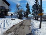 5
5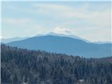 6
6 7
7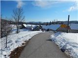 8
8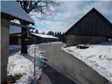 9
9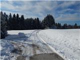 10
10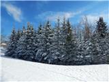 11
11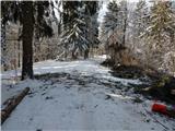 12
12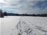 13
13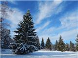 14
14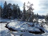 15
15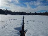 16
16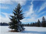 17
17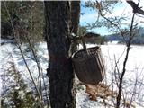 18
18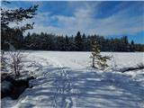 19
19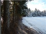 20
20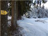 21
21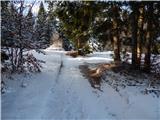 22
22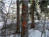 23
23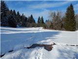 24
24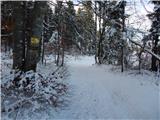 25
25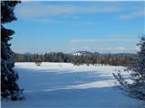 26
26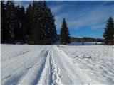 27
27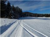 28
28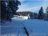 29
29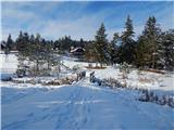 30
30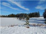 31
31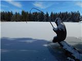 32
32
Discussion about the trail Strmca - Bloško jezero