Stražišče - Leskovica (above Stražišče)
Starting point: Stražišče (865 m)
| Lat/Lon: | 45,842°N 14,3976°E |
| |
Time of walking: 20 min
Difficulty: easy unmarked way
Altitude difference: 82 m
Altitude difference po putu: 82 m
Map: Snežnik 1:50.000
Recommended equipment (summer):
Recommended equipment (winter):
Views: 687
 | 1 person likes this post |
Access to the starting point:
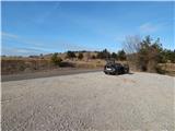
a) Take the Rakitna, then continue to Cerknica. After Pikovnik, the road starts to descend steeply, and then passes through the settlements of Kržišče, Beč, Župeno and Gorenje Otave. A little further on, leave the main road leading to Begunje at Cerknica and continue straight on a side road towards Stražišče. Go around Stražišče on the bypass road on the right and then, when the two roads merge again, continue straight ahead and after a few 10 metres park in a suitable place on the roadside.
b) Turn into Cerknica, then continue in the direction of Begunj at Cerknica and onwards to Rakitnik. From the rather winding road towards Rakitna, turn left at a higher point in the direction of Stražišče. Go around Stražišče on the bypass road on the right, then, when the two roads merge again, continue straight ahead and after a few 10 metres park in a suitable place on the roadside.
Path description:
From the parking lot, follow the asphalt road back to the bus stop, where the road leading into the settlement branches off, and we continue along the left-hand road, which bypasses the settlement. Soon we reach a place where the road cart track turns off to the left and starts to climb up a small valley. At first through the narrow lane of the forest, but higher up through vast pastures. As the cart track starts to disappear, we can already see the pillar of a high-voltage power line in front of us at the top of Leskovica, which shows us the right way onwards. Only a few minutes of easy wandering with beautiful views of Snežnik, Javornike, Nanos and the Kamniško Savinjske Alps separate us from the top, which is located a few metres in front of the pillar and on which the trigonometric point is located.
Description and pictures refer to the situation in 2016 (December).
Pictures:
 1
1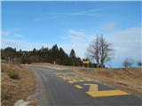 2
2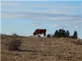 3
3 4
4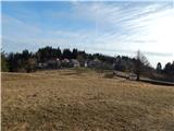 5
5 6
6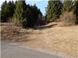 7
7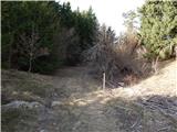 8
8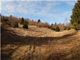 9
9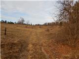 10
10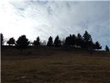 11
11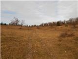 12
12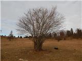 13
13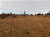 14
14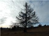 15
15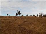 16
16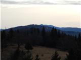 17
17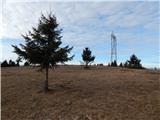 18
18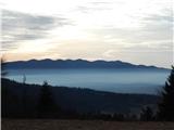 19
19 20
20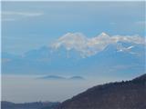 21
21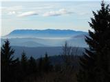 22
22
Discussion about the trail Stražišče - Leskovica (above Stražišče)