Straža - Želin - Sveti Pavel (Straža)
Starting point: Straža - Želin (247 m)
| Lat/Lon: | 46,1022°N 13,9483°E |
| |
Time of walking: 35 min
Difficulty: easy marked way
Altitude difference: 204 m
Altitude difference po putu: 204 m
Map:
Recommended equipment (summer):
Recommended equipment (winter):
Views: 597
 | 2 people like this post |
Access to the starting point:
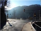
a) Drive to Idrija, then continue in the direction of Tolmin and Cerkno. When you reach the semaphore crossroads in Straža - Želin, where the road to Cerkno turns off to the right, the route described above begins. There are no parking spaces at the starting point.
b) From Podbrdo or Most na Soči, drive to Bača pri Modreju and then continue in the direction of Idrija. When you reach the semaphore-controlled crossroads in Straža - Želin, where the road to Cerkno turns left, the route described above begins. There are no parking spaces at the starting point.
c) Take the road to Cerkno and then continue in the direction of Tolmin and Idrija. When you reach the semaphore crossroads in Straža - Želin, where the road continues to the right towards Tolmin and to the left towards Idrija, the route described above begins. There are no parking spaces at the starting point.
Path description:
From the crossroads we focus on the road in the direction of Idrija, and along the road we walk a few 10 metres, then on the concrete rampart we see the mountain markings for Bevkov vrh, which direct us sharp left, on the road that climbs to the nearby homestead. At the homestead, continue through the courtyard, and behind the house, go right and climb up to the nearby trestle, where you go slightly left, so that you continue across the hayfield and climb up crosswise to the right. At a higher altitude, you will reach the lane of the forest, and then pass a house with no road leading to it. Above the house, the path returns to the forest and starts to climb steeply. Climb steeply through the forest for a while and then reach an asphalt road, which you follow to the left. The road soon becomes macadam, and you turn slightly right and climb up to St Paul's Church, which is situated on a viewpoint.
Description and pictures refer to January 2020.
Pictures:
 1
1 2
2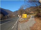 3
3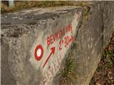 4
4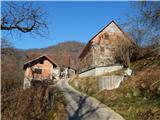 5
5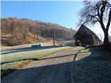 6
6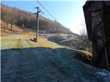 7
7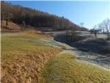 8
8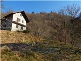 9
9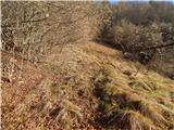 10
10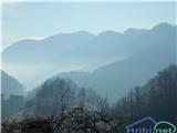 11
11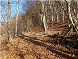 12
12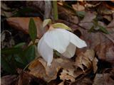 13
13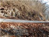 14
14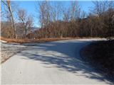 15
15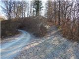 16
16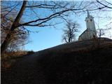 17
17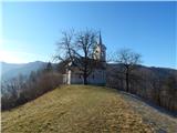 18
18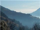 19
19
Discussion about the trail Straža - Želin - Sveti Pavel (Straža)