Starting point: Stara Fužina (573 m)
| Lat/Lon: | 46,2903°N 13,8868°E |
| |
Time of walking: 5 h 20 min
Difficulty: easy unmarked way
Altitude difference: 1514 m
Altitude difference po putu: 1620 m
Map: TNP 1:50.000
Recommended equipment (summer):
Recommended equipment (winter): ice axe, crampons
Views: 3.490
 | 1 person likes this post |
Access to the starting point:
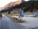
From the Ljubljana - Jesenice motorway, take the Lesce exit and follow the road towards Bled and on to Bohinjska Bistrica. Continue towards Bohinjsko jezero (Ribčev laz), at which you will come to a crossroads where you will turn right towards Stara Fužina. At Stara Fužina, at the crossroads by the chapel, turn sharp left onto the ascending road towards mountain pasture Blato, mountain pasture Vogar and the Voja valley. Follow this road to the parking lot where tolls and parking fees are collected.
Path description:
From the parking lot, continue to the right towards the Mostnice riverbeds and initially walk along a wide path, which will take you to the Devil's Bridge in a few minutes, from which you can already get your first view of the riverbeds. At the bridge, take the minor road to the left, and walk along it for a short distance, as the signs for the riverbeds then direct you to the right on a well-maintained tourist trail. The path ahead soon leads us to the central part of the troughs, along which we then climb gently. During the ascent along the troughs, we come across the "Elephant" markers (a rock hollowed out by water in the shape of an elephant - worth a look). The way forward continues to climb for some time along Mostnica, then turns slightly to the left, where after a few minutes of further walking it leads us to a forest road leading towards the Voja Valley. Follow the road to the right and it will quickly lead you to the NOB memorial (you can also drive here, this will shorten the journey by about 45 minutes).
Leave the road at the monument and continue to the left, following the gently sloping cart track, which quickly leads to a small crossroads, where you continue along the left marked path. The ascent continues along a moderately steep mountain path which, after a short climb, leads to a wooded ridge. Here the path turns to the right and is transiently laid. A little further along the way we will see a small cross, and the path from here on becomes steeper.
For some time, the path climbs steeply through the dense forest. At an altitude of approximately 1300 m, the path is laid and a few metres higher up leads to a place where we cross the unmarked path mountain pasture Blato - mountain pasture Zgornja Grintovica. The crossing of this path is almost imperceptible, as there are a lot of fallen trees covering both paths.
Continue in the same direction and soon you will rejoin the well-traced, but less well-marked path. The way ahead climbs for some time through the dense forest and then slowly approaches the nearby mountain pasture. Higher up, the forest becomes thinner and the path less steep. A little further on, we exit the forest, where the unspoilt world of mountain pasture Krstenica opens up in front of us. Again, the less visible path turns slightly to the left here and leads us first in a moderate ascent and then in a slight descent to the shepherds' tents at mountain pasture Krstenica. Walk with mountain pasture to the western edge of mountain pasture, where you see the markers for mountain pasture in Laz. Continue in the direction of the above-mentioned mountain pasture and first start descending towards the valley separating Ogradi from the Stogov ridge. When the descent ends, the path leads us through occasionally more dense forest, crossing first the valley and then the slopes at the foot of Ogradi to the east. A little further on, the path begins to climb more visibly and turns right. The ascent does not take long, as the path quickly becomes level. There is a few minutes' walk with slight ups and downs, and then you reach a crossroads, which usually has a sign cairn.
Here continue sharp right (straight ahead mountain pasture in Laz) on an unmarked path leading to the top of the Ogradovi.
The clearly visible but unmarked path climbs steeply and leads us within a few minutes to the ruins of the abandoned mountain pasture on the southern slopes of Ogradovi. Here the path turns to the left and the steepness gradually eases. Continue along an occasionally slightly less visible track which climbs up the grassy slope of the mountain. The increasingly scenic path, which offers beautiful views of the mountains surrounding Bohinj, then climbs slightly steeper again and leads us to the summit within a few more minutes of walking.
Stara Fužina - mountain pasture Krstenica 3:15, mountain pasture Krstenica - Ogradi 1:45.

Pictures:
 1
1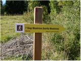 2
2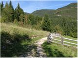 3
3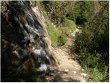 4
4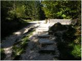 5
5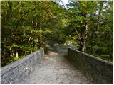 6
6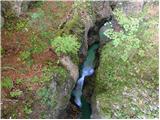 7
7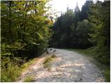 8
8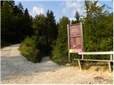 9
9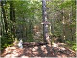 10
10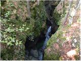 11
11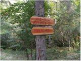 12
12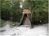 13
13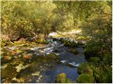 14
14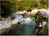 15
15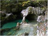 16
16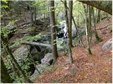 17
17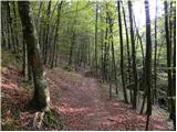 18
18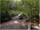 19
19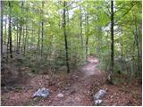 20
20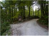 21
21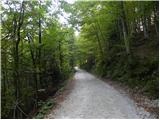 22
22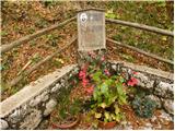 23
23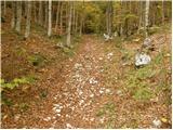 24
24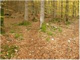 25
25 26
26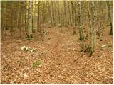 27
27 28
28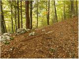 29
29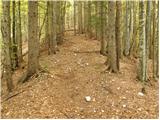 30
30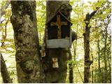 31
31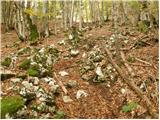 32
32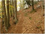 33
33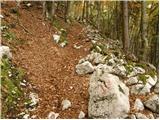 34
34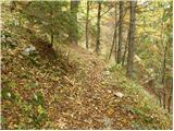 35
35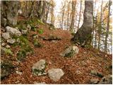 36
36 37
37 38
38 39
39 40
40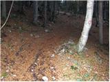 41
41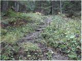 42
42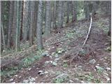 43
43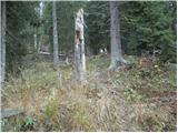 44
44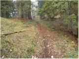 45
45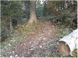 46
46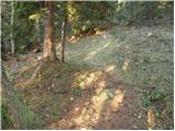 47
47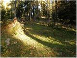 48
48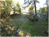 49
49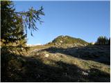 50
50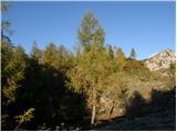 51
51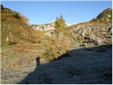 52
52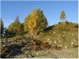 53
53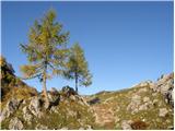 54
54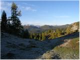 55
55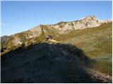 56
56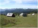 57
57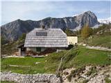 58
58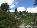 59
59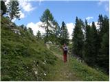 60
60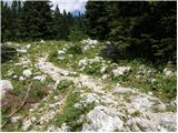 61
61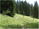 62
62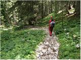 63
63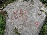 64
64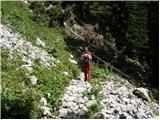 65
65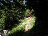 66
66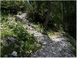 67
67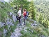 68
68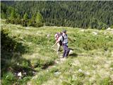 69
69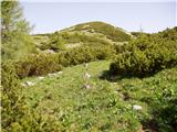 70
70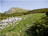 71
71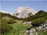 72
72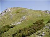 73
73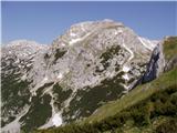 74
74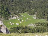 75
75 76
76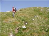 77
77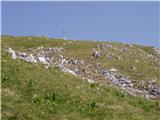 78
78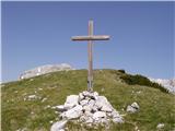 79
79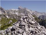 80
80
Discussion about the trail Stara Fužina - Ogradi