Spodnje Dobeno - Rašica (Vrh Staneta Kosca)
Starting point: Spodnje Dobeno (400 m)
| Lat/Lon: | 46,1456°N 14,5369°E |
| |
Time of walking: 50 min
Difficulty: easy marked way
Altitude difference: 241 m
Altitude difference po putu: 260 m
Map: Ljubljana - okolica 1:50.000
Recommended equipment (summer):
Recommended equipment (winter):
Views: 8.160
 | 2 people like this post |
Access to the starting point:
From the Trzin - Mengeš road, take the Loka pri Mengšu road, then follow the signs for Dobeno. When you reach Dobeno, at the first houses you will see the mountain signs for Rašica and Mengeš hut. Park at the appropriate place on the mountain signs.
Path description:
From the starting point, follow the marked trail in the direction of Rašica and Mengeška koča on Gobavica, and after a short climb reach an asphalt road, which you follow to the left. The way ahead leads past a few more houses, and then signs lead you right to cart track, where you cross lane of the forest. At the fork in the tracks, continue on the left, then walk along the edge of the forest to a marked fork, where you take the path to the left in the direction Rašica (Mengeš cottage on the right).
Continue in the direction Rašica and walk along the road for some time. From the road, first to the right, there is a trail to Sel, and a little further on there is another trail to Rašica, with which we merge higher up.
At the part where the path to the left branches off towards Upper Dobeno, we continue to the right in the direction of Rašica. There is a bit of a climb, and we are first joined from the right by the aforementioned path to Rašica, and then a little higher up we join up with the ridge path leading from the Mengeš hut.
Continue left, again in the direction of Rašica, and follow the marked trail in a slight to moderate ascent to the Staneta Kosca Peak, a few minutes away, where there is a lookout tower and, a few 10 steps lower, a mountain lodge.
Description and pictures refer to the situation in 2018 (April).

Pictures:
 1
1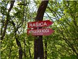 2
2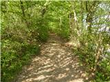 3
3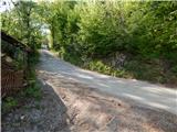 4
4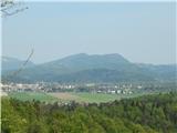 5
5 6
6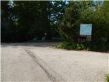 7
7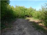 8
8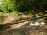 9
9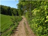 10
10 11
11 12
12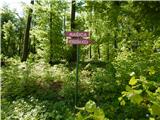 13
13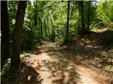 14
14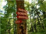 15
15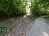 16
16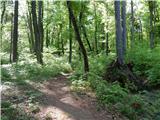 17
17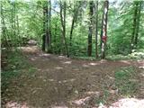 18
18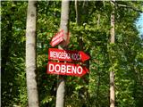 19
19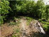 20
20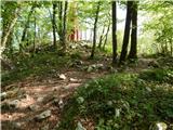 21
21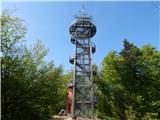 22
22 23
23 24
24
Discussion about the trail Spodnje Dobeno - Rašica (Vrh Staneta Kosca)