Spodnja Idrija - Cerkovni vrh
Starting point: Spodnja Idrija (305 m)
| Lat/Lon: | 46,032°N 14,0264°E |
| |
Time of walking: 1 h 15 min
Difficulty: easy unmarked way
Altitude difference: 499 m
Altitude difference po putu: 500 m
Map: Idrijsko in Cerkljansko 1: 50.000
Recommended equipment (summer):
Recommended equipment (winter):
Views: 6.208
 | 1 person likes this post |
Access to the starting point:
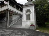
From Ljubljana, we drive towards Idrija. When you reach Idrija, turn right at the second semaphore crossroads towards Spodnja Idrija (4 km). As soon as you reach Spodnja Idrija, you will see a chapel on your left and steps leading up to the church. Park here or a few fifty metres further along the main road, turn right at the shop into the parking lot of the community centre.
Path description:
From the chapel, you climb the steps to the Church of Our Lady of the Rock, whose present form dates back to 1674 and whose first references date back to the 12th century. At the church, turn left past the mortuary towards the end of the cemetery, where you reach Šolska grape. Turn right to reach the hayfield where the homestead at Brd was burnt down during World War II. Climb up along a groove of spruce trees towards the ridge. Follow the path along the ridge, always going left above Šolsko grapa. After about 20 minutes of walking, you will reach a saddle where the path splits. Turn left, still above Šolska grapa (the right-hand path goes to Vranji ridge). There are steep ascents and descents to smaller ravines, which you cross, then after a few metres you descend to a larger ravine, from which the path turns left and soon you are on the ridge, where you turn right. Continue steeply up the ridge, with a few steep areas in between (watch out for slipping in the wet!), and then reach the saddle. A sign on a tree directs you left towards the summit. It's just a 5-minute rocky steep climb and the summit is here.

Pictures:
 1
1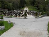 2
2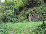 3
3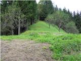 4
4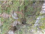 5
5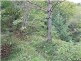 6
6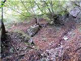 7
7 8
8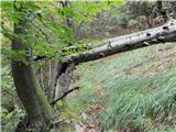 9
9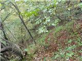 10
10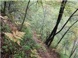 11
11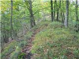 12
12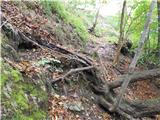 13
13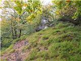 14
14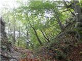 15
15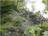 16
16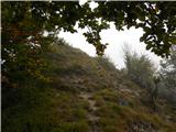 17
17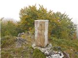 18
18 19
19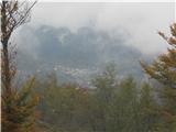 20
20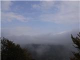 21
21
Discussion about the trail Spodnja Idrija - Cerkovni vrh