Starting point: Soriška peč (1207 m)
| Lat/Lon: | 46,2369°N 14,0215°E |
| |
Time of walking: 1 h 30 min
Difficulty: easy marked way
Altitude difference: 331 m
Altitude difference po putu: 350 m
Map: Škofjeloško in Cerkljansko hribovje 1:50.000
Recommended equipment (summer):
Recommended equipment (winter): ice axe, crampons
Views: 1.670
 | 2 people like this post |
Access to the starting point:
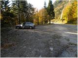
a) From Podrošto or Petrovo Brda, drive to Sorica, and from there continue to Soriška mountain pasture. When you get to the 6 km road marker, you will see a cross on your left just before the cross, and a few metres further on, there is a suitable parking space on your right.
b) Take the road to Bohinjska Bistrica, then continue driving in the direction of Tolmin and Sorisca mountain pasture. When you reach the large parking lot at the Soriška ski slope mountain pasture, start descending towards Soriška. After about 1 km of descent, we will come to a more distinct right turn, in the middle of which the marked path to Ratitovec branches off to the left, and we park here in a convenient place by the crossroads, on the left-hand side of the main road.
Path description:
From the parking lot, head towards the speed limit sign, where you will see mountain signs directing you to the right to cart track. Continue ascending the gently ascending cart track, which soon leads to a hunting lodge.
Continue along the cart track, which passes slightly further on to a forest road which is followed for a short time, as it quickly leads to a crossroads. From here, continue left on the initially steep cart track in the direction of Ratitovec, which gradually turns into a slightly less steep footpath. Higher up, the path becomes even steeper and passes a slightly larger watering place for animals on the right. From here on, the forest becomes rarer, so that the path starts to open up more and more beautiful views of Porezen, Blegoš and other surrounding peaks. The path continues to climb for some time, then crosses over to a more extensive grassy slope, where we step onto a small undistinguished saddle.
Here a "path" branches off to the left to the nearby Žbajnek, the summit of which is reached after less than 5 minutes of further walking.

Pictures:
 1
1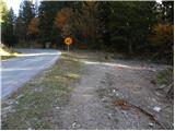 2
2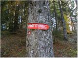 3
3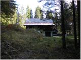 4
4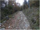 5
5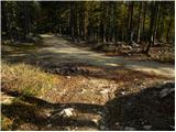 6
6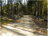 7
7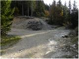 8
8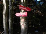 9
9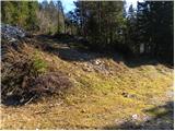 10
10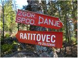 11
11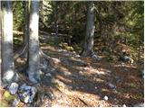 12
12 13
13 14
14 15
15 16
16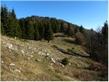 17
17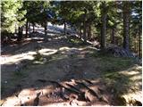 18
18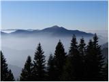 19
19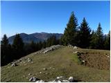 20
20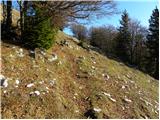 21
21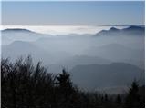 22
22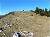 23
23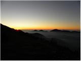 24
24 25
25 26
26 27
27 28
28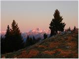 29
29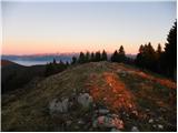 30
30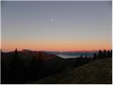 31
31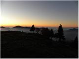 32
32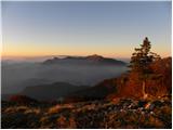 33
33 34
34
Discussion about the trail Soriška peč - Žbajnek