Starting point: Soriška peč (1207 m)
| Lat/Lon: | 46,2369°N 14,0215°E |
| |
Time of walking: 35 min
Difficulty: easy unmarked way
Altitude difference: 101 m
Altitude difference po putu: 135 m
Map: Škofjeloško in Cerkljansko hribovje 1:50.000
Recommended equipment (summer):
Recommended equipment (winter): ice axe, crampons
Views: 2.240
 | 1 person likes this post |
Access to the starting point:
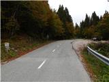
a) From Podrošto or Petrovo Brda drive to Sorica and from there continue to Sorica mountain pasture. When you get to the 6 km road marker, you will see a cross on your left just before the cross, and a few metres further on, there is a suitable parking space on your right.
b) Take the road to Bohinjska Bistrica, then continue driving in the direction of Tolmin and Sorisca mountain pasture. When you reach the large parking lot at the Soriška ski slope mountain pasture, start descending towards Soriška. After about 1 km of descent, we will come to a more distinct right turn, in the middle of which the marked path to Ratitovec branches off to the left, and we park here in a convenient place by the crossroads, on the left-hand side of the main road.
Path description:
From the starting point, continue along the marked trail in the direction of Ratitovec. At first, follow cart track, and you will quickly see a larger house on your left, which you pass on your right. A little further on, a short path branches off to the right to a hunting lodge, and we continue along cart track, which climbs slightly and then lays down and crosses the slopes north of the top of Tonderškofel. Follow the marked path towards Ratitovec for a few more minutes, then, when you reach a dirt road, continue downhill to the right, following the unmarked path below. Follow the road down to the first left-hand bend, and we continue right from this bend to cart track, which crosses the slopes further to the left. Continue along the cart track to its end, where you turn right onto a traceable path which, in a minute or two, will take you up to the Erbelc lookout.
Description and pictures refer to the situation in 2016 (October).
Pictures:
 1
1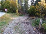 2
2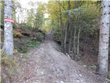 3
3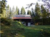 4
4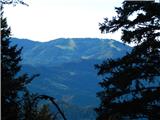 5
5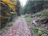 6
6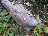 7
7 8
8 9
9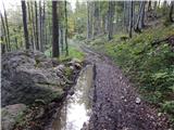 10
10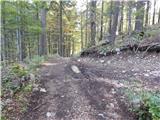 11
11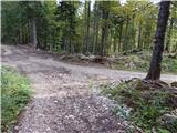 12
12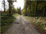 13
13 14
14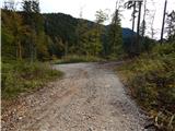 15
15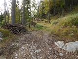 16
16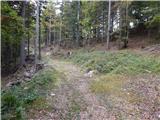 17
17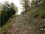 18
18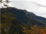 19
19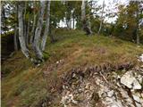 20
20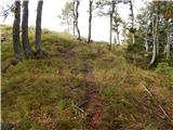 21
21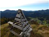 22
22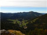 23
23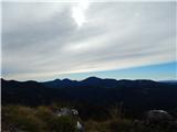 24
24
Discussion about the trail Soriška peč - Erbelc
|
| maks577. 11. 2022 17:22:15 |
Dajte, no, domačini! Ali bi bilo res tako težko nakracati nekaj rdečih črt, ki bi označevale pot?
|
|
|
|
| georgia9. 11. 2022 21:24:12 |
Meni pa je všeč, da (še) ni označeno in je zato malo obiska, ponavadi vrh sameva. Je tukaj jasno razložena pot, da je res ni problem najti. Opisana je tudi pot od Rotke. Nisva lokalca, a sva z možem odkrila že vse poti na Erblc. Krasen razglednik, priporočava! 
|
|
|