Starting point: Sora (360 m)
| Lat/Lon: | 46,1414°N 14,3703°E |
| |
Name of path: by road
Time of walking: 1 h 40 min
Difficulty: easy marked way
Altitude difference: 498 m
Altitude difference po putu: 510 m
Map: Ljubljana - okolica 1:50.000
Recommended equipment (summer):
Recommended equipment (winter):
Views: 13.492
 | 5 people like this post |
Access to the starting point:
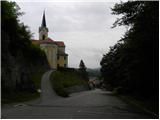
a) First drive to Medvode, then leave the main road at the Špar shop and continue towards the railway station and Sora. In Sora, the road to Katarina turns first left, and a little further on to Osolnik. Take the road to Osolnik and after a short climb park in the parking lot below St Stephen's Church. You can also park a little further down in the parking lot next to the parish church.
b) From Kranj, drive towards Škofja Loka, and from the outskirts of Škofja Loka follow the signs for Gorenjska vas. Before the Sten tunnel, take the exit from the roundabout towards Sora. Continue through Hosta, Pungert, Gosteče and Draga to Sora, where you turn right towards Osolnik and then, after a short climb, park in the parking lot below St Stephen's Church. You can also park a little further down in the parking lot next to the parish church.
c) From Poljanska dolina, drive towards Škofja Loka and then take the ring road and go through the Sten tunnel. Turn right after the tunnel and follow the signs for Sora. Continue through Hosta, Pungert, Gosteče and Draga to Sora, where you turn right towards Osolnik and then, after a short climb, park in the parking lot under St Stephen's Church. You can also park a little further down in the parking lot next to the parish church.
Path description:
From the parking lot at St Stephen's Church, continue along the asphalted road, which climbs moderately and after a short ascent leads to a sharp left turn. Just slightly above the bend, a marked footpath branches off the road sharply to the right, leading to Hom and Osolnik. We continue straight ahead on the asphalted road, which turns increasingly to the right. Higher up, the road levels out and a marked footpath joins from the right. We continue our ascent along a relatively graded road, which leads us higher up to the centre of the village Osolnik, where we continue to the right at the Rožnik Tourist Farm. The road climbs steeply and after a few minutes of further walking leads to the last houses in the village. Just a few metres before the last houses, the signs for Osolnik direct us to the right to the ascending cart track, which we then follow all the way to the top.
Pictures:
 1
1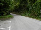 2
2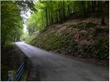 3
3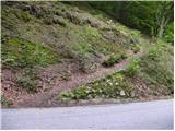 4
4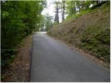 5
5 6
6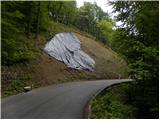 7
7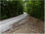 8
8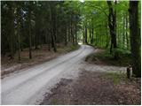 9
9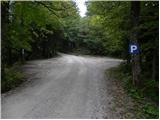 10
10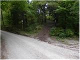 11
11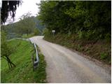 12
12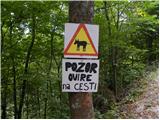 13
13 14
14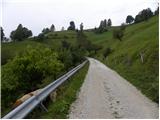 15
15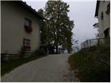 16
16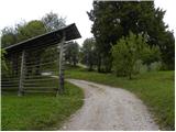 17
17 18
18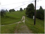 19
19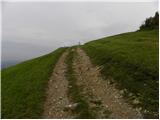 20
20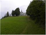 21
21 22
22
Discussion about the trail Sora - Osolnik (by road)