Starting point: Soča (500 m)
| Lat/Lon: | 46,3425°N 13,6693°E |
| |
Time of walking: 3 h 50 min
Difficulty: easy pathless terrain
Altitude difference: 1465 m
Altitude difference po putu: 1500 m
Map: TNP 1:50.000
Recommended equipment (summer):
Recommended equipment (winter): ice axe, crampons
Views: 6.485
 | 4 people like this post |
Access to the starting point:
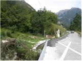
From Trenta or Bovec, drive to the village of Soča, where you will see a church on the side of the road. The start of the walking trail is 200-300m from the church towards Trenta, where you will see signposts and a small parking area for 2-3 cars along the road.
Path description:
From the village Soča, follow the track after the Bavški Grintavec signs. The trail starts to climb quite steeply through the forest and leads us in a good half an hour's walk to mountain pasture or the village of Lemovje. Here the path first turns slightly to the left past a few houses, then soon turns to the right and starts climbing steeply through the forest again. The path then turns to the left, where the steepness eases slightly. It then crosses the steep southern slopes below Kol (1924 m), which leads to a hunting lodge at mountain pasture above the Soča River.
A few metres above the hunting lodge, leave the marked trail and turn left onto a poorly trodden path. The path then leads through a short lane of wods to a hunting observation post, where it continues upwards to the right. The path here runs up the right-hand side of a grassy slope. The path then leads back into the forest and continues to climb northwards. The path is very faint here and slowly turns slightly to the right. A little higher up, the path turns left and leads out of the forest. From here you have a nice view of Vrh Leh (1958m), which is all covered with dwarf pines. Slightly to the right of the above-mentioned peak, a path (narrow lane without dwarf pines) can be seen leading straight up. The ascent continues steeply along the above-mentioned path. Shortly before reaching the ridge, a faint path joins from the right and crosses the slope below Vrh Ruš (1995m). Here, continue left and follow the narrow path across the slope, passing through dwarf pines. Soon you come out of dwarf pines onto a grassy slope and start climbing towards a small saddle between the peaks Pri Banderi and Vrh Leh.
At the saddle where a view of the Bavšica valley opens up, continue left along the grassy ridge and soon reach the peak of Pri Banderi.
From the summit continue along the ridge and after a short descent and then ascent reach Vrh Ovčje planje from which a view opens up towards Svinjaku.

Pictures:
 1
1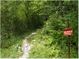 2
2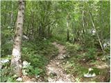 3
3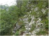 4
4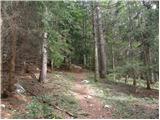 5
5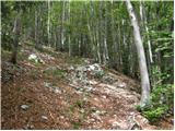 6
6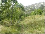 7
7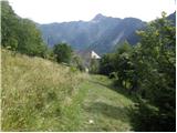 8
8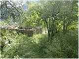 9
9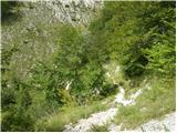 10
10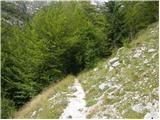 11
11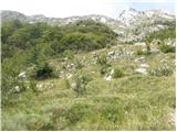 12
12 13
13 14
14 15
15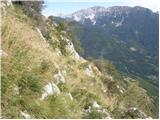 16
16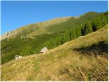 17
17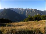 18
18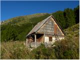 19
19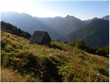 20
20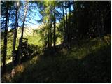 21
21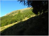 22
22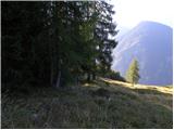 23
23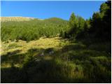 24
24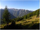 25
25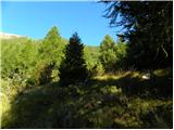 26
26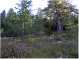 27
27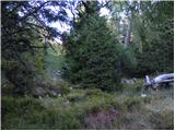 28
28 29
29 30
30 31
31 32
32 33
33 34
34 35
35 36
36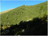 37
37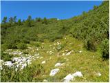 38
38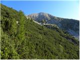 39
39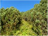 40
40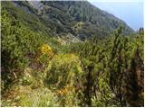 41
41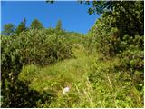 42
42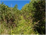 43
43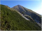 44
44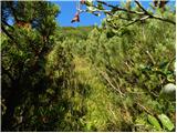 45
45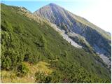 46
46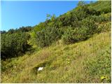 47
47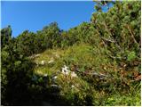 48
48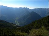 49
49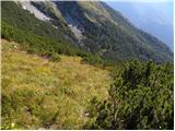 50
50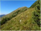 51
51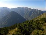 52
52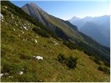 53
53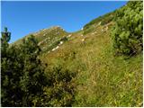 54
54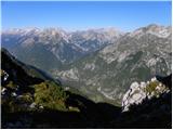 55
55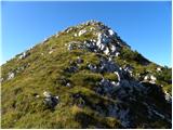 56
56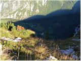 57
57 58
58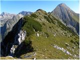 59
59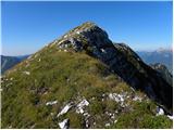 60
60 61
61 62
62 63
63 64
64 65
65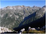 66
66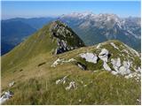 67
67 68
68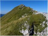 69
69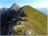 70
70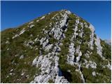 71
71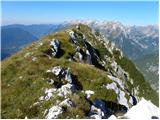 72
72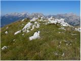 73
73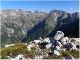 74
74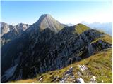 75
75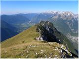 76
76
Discussion about the trail Soča - Vrh Ovčje planje