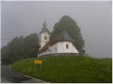
Starting point: Smrečje (708 m)
| Lat/Lon: | 46,0134°N 14,194°E |
| |
Time of walking: 40 min
Difficulty: easy marked way
Altitude difference: 182 m
Altitude difference po putu: 200 m
Map: Škofjeloško in Cerkljansko hribovje 1:50.000
Recommended equipment (summer):
Recommended equipment (winter):
Views: 6.758
 | 1 person likes this post |
Access to the starting point:
Drive to Smrečje above Vrhnika (to get here from Vrhnika via the Podlipa valley or from Horjul via Šentjošt), where you park in a suitable space near the church. Park so as not to interfere with the bus, which has a bus stop nearby.
Path description:
From the church, continue along the asphalted road in the direction of Vrha sv. Treh kraljev and Lavrovec. After a few minutes, we arrive at a small preval, where the signs for Lavrovec direct us to a sharp right onto a macadam road, along which we continue our ascent. A little further on, the road changes to cart track, but we only walk along it for a short time, as the markings then direct us left onto a footpath which continues to climb moderately through the forest. After a short climb, we leave the forest, where after a few more steps we reach the road. Once on the road, you will see the stamp markings to the left (the stamp is located in the dwelling house of a nearby farm), and we continue along the macadam road, which we then follow for a few minutes. Higher up, the markings direct us right onto a footpath, which then climbs through lane of a compacted forest. The path ahead leads quickly out of the forest, where you then climb over a grassy slope to a nearby farmhouse. After the homestead, rejoin the macadam road, which is then followed all the way to the top of Lavrovec.

Pictures:
 1
1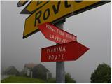 2
2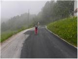 3
3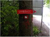 4
4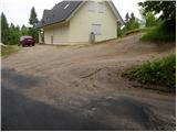 5
5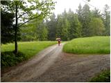 6
6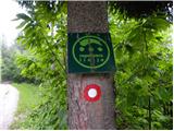 7
7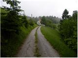 8
8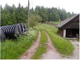 9
9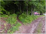 10
10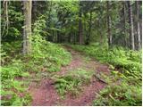 11
11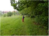 12
12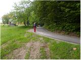 13
13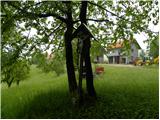 14
14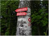 15
15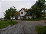 16
16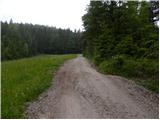 17
17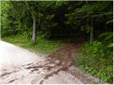 18
18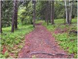 19
19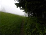 20
20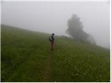 21
21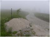 22
22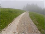 23
23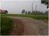 24
24 25
25 26
26
Discussion about the trail Smrečje - Lavrovec