Rovte - Sveti Urh (Zavratec) (through Trtovška grapa)
Starting point: Rovte (605 m)
| Lat/Lon: | 45,9823°N 14,157°E |
| |
Name of path: through Trtovška grapa
Time of walking: 1 h 40 min
Difficulty: easy marked way
Altitude difference: 119 m
Altitude difference po putu: 200 m
Map:
Recommended equipment (summer):
Recommended equipment (winter):
Views: 584
 | 1 person likes this post |
Access to the starting point:
a) First drive to Škofja Loka, then continue to Gorenje village and Žire. From Žiri, continue along a slightly more winding road towards Rovtam and Logatec, which you follow to the road marker between 12 and 11. 5 km, or to the point where the macadam road to Medvedje Brdo and Lanevšam branches off to the right. Park in a suitable place on the roadside.
From Žiri (from the junction where the road to Idrija turns right) to the starting point is approximately 9,5 km.
b) From the motorway Ljubljana - Koper take the exit Logatec and then continue to Logatec. From the roundabout, where you reach the old road Vrhnika - Postojna, turn right (direction Vrhnika) and continue along the old road towards Vrhnika, which you follow for only a few 100 m, then turn left onto the road in the direction of Rovt and Žirov. Continue along the gradually winding road, which you follow until you reach the road marker between 11. 5 and 12 km. Here you will come to a crossroads where a dirt road turns left towards Medvedje Brdo and Lanevšy. Park in a suitable place on the roadside.
c) Drive to Idrija, then continue to Logatec. Before the end of Idrija, turn left onto a steep road that starts to climb towards the village of Gore. Higher up, you reach a plateau, and the road flattens out. At the crossroads, follow the signs to the neighbouring settlement Dole and later to Zavrate. After the end of the above-mentioned place, we start descending towards the valley of Sovra, where we also reach the main road Žiri - Logatec. Follow this road to the right and we follow it to the road marker between 12 and 11. 5 km, or to the point where the dirt road to Medvedje Brdo and Lanevšy branches off to the right. Park in a suitable place on the roadside.
From the point where we reach the road Žiri - Logatec to the starting point is about 1,5 km.
Path description:
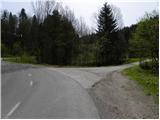
From the starting point, continue along the macadam road in the route Medvedje Brdo and start climbing along the Trtovška grapa stream. The road then leads past some educational signs to a meadow, after which the road becomes a little steeper. At the part where the road becomes steeper, we also rise out of Trtovška grapa. There is a few minutes' cross-climb to the left and we join an asphalt road, which we follow to the right, and we walk along it to a kind of triangular crossroads, near which there is a chapel.
From this crossroads, continue straight on (left Medvedje Brdo - top, church and the Medved home), then pass the firemen's home and in a few minutes you will reach the next crossroads, where you will continue to the right in the direction of Zavratec and the top of St. Treh Kraljev. The way forward leads along a macadam road, which soon splits into two parts.
The marked path towards the Hill of the Three Kings continues along the right-hand road, while we continue along the left-hand road in the direction of the villages of Zavratec and Potok. There is a slightly steeper descent for a few minutes and then we reach the village of Potok, where the road becomes asphalted again. In the village, the road is completely laid, and leads past a few houses and mainly across meadows. On the other side of the village, the road enters a forest, where it descends gently along a nearby stream for a short time, and then begins to climb in front of a solitary house. A few minutes higher up, the road reaches a sports ground and a few 10 steps further on, the village of Zavratec. There is a short descent and the road leads to the Church of St. Urha in Zavratec.

Pictures:
 1
1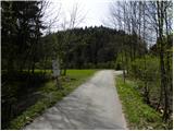 2
2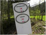 3
3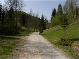 4
4 5
5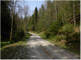 6
6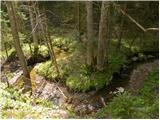 7
7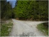 8
8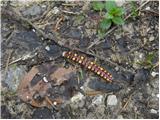 9
9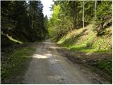 10
10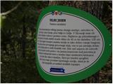 11
11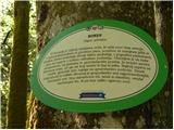 12
12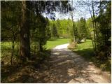 13
13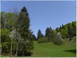 14
14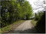 15
15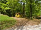 16
16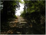 17
17 18
18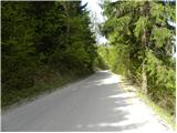 19
19 20
20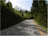 21
21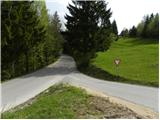 22
22 23
23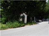 24
24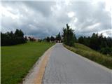 25
25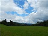 26
26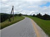 27
27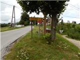 28
28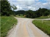 29
29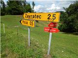 30
30 31
31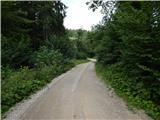 32
32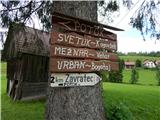 33
33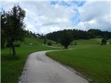 34
34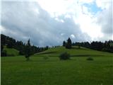 35
35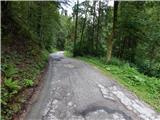 36
36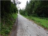 37
37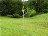 38
38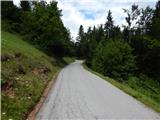 39
39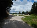 40
40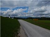 41
41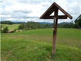 42
42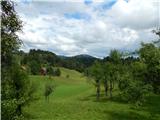 43
43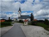 44
44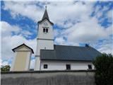 45
45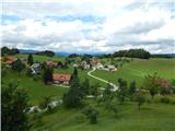 46
46
Discussion about the trail Rovte - Sveti Urh (Zavratec) (through Trtovška grapa)