Road to Nassfeld - Malvuerich Alto
Starting point: Road to Nassfeld (1300 m)
Time of walking: 2 h
Difficulty: difficult marked way
Altitude difference: 599 m
Altitude difference po putu: 620 m
Map: Tabacco 18
Recommended equipment (summer): helmet
Recommended equipment (winter): helmet, ice axe, crampons
Views: 7.433
 | 2 people like this post |
Access to the starting point:
After the border crossing at Ratece, drive through Trbiž / Tarvisio, Ukve / Ugovizza to Tablja / Pontebba, where you turn right after the signs "Passo di Pramollo / Nassfeld" (Slovenian Wetlands). Shortly before the pass, at a height of about 1300 m, a narrow dirt road turns off to the left downhill. At the crossroads there is also space for two to three cars to park.
Path description:
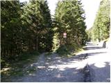
Take the dirt road after the M. Malvuerich signs. The road first descends gently, then turns slightly to the left and crosses a stream. In the meantime, there are a few cart tracks off the road, and follow the blue-orange markings at all junctions. The road then leads you along flat terrain past meadows, and just before the road starts to climb, you will see an orange-blue sign on a tree to your right, pointing you right into the wods. The path then climbs through the forest until it leads to a ravine, over which the path is secured by a chain and ladder. The more difficult part of the trail is relatively short and soon leads to the southern slopes of the mountain. Here, turn right and walk first through sparse forest and then on grassy terrain along dwarf pines. The path soon turns slightly to the left and leads to the main ridge. Continue right along the south side of the ridge and the path to Malvuerich joins from a slightly lower starting point on the left (route 433). The path here turns slightly right and climbs towards the ridge. Then it is just a few minutes' walk along a scenic ridge to the summit.

Pictures:
 1
1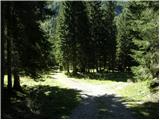 2
2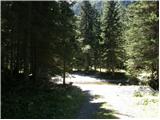 3
3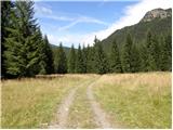 4
4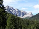 5
5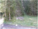 6
6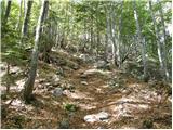 7
7 8
8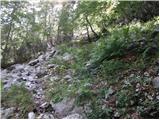 9
9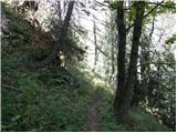 10
10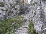 11
11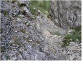 12
12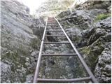 13
13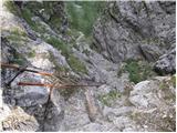 14
14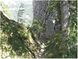 15
15 16
16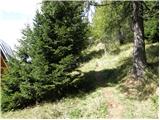 17
17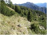 18
18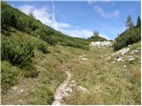 19
19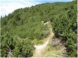 20
20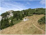 21
21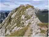 22
22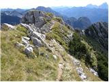 23
23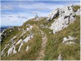 24
24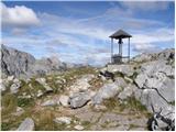 25
25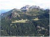 26
26
Discussion about the trail Road to Nassfeld - Malvuerich Alto