Ribnica (Lepovče) - Grmada on Mala gora (via Stene Svete Ane)
Starting point: Ribnica (Lepovče) (489 m)
| Lat/Lon: | 45,7446°N 14,7363°E |
| |
Name of path: via Stene Svete Ane
Time of walking: 3 h 50 min
Difficulty: easy marked way
Altitude difference: 398 m
Altitude difference po putu: 625 m
Map:
Recommended equipment (summer):
Recommended equipment (winter): ice axe, crampons
Views: 2.986
 | 1 person likes this post |
Access to the starting point:
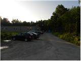
a) From Ljubljana, drive towards Kočevje, then turn slightly left at the beginning of Ribnica towards the Lepovče industrial zone. Drive through the zone for a while, then turn left towards the nearby forest or road leading to Mali gora and the waste dump. Park at the end of the industrial zone in a suitable place.
b) From Kočevje drive towards Ljubljana, then when you arrive in Ribnica turn right towards the Lepovče industrial zone. After the railway line, continue straight ahead, and before the road turns into a forest, park at a suitable place at the end of the industrial zone.
Path description:
From the starting point, continue along the road in the direction of St. Anne and TIGR, and walk along it for only a few minutes, as the signs for St. Anne then direct us to the left on a gently sloping path, along which we continue to see a number of signs for the Ribnica Natural History Trail. The trail then ascends mostly gently, only descending to a macadam road, which you follow to the left to the nearby cave home.
From the cave house, next to which Francetova jama is located, continue along the marked path towards St. Anne. The path ahead becomes slightly steeper and crosses a road leading towards a small hamlet (marked on the map as the homestead of Seljan). Above the road, the path leads us across a meadow and a strip of scrub to the previously delimited hamlet, where we continue to the right in the direction of the sloping path. The path then gradually turns into the forest and leads past several well-marked crossroads. This is followed by about 20 minutes of slightly steeper ascent and the path from Steljnik, Črnega vrha and Makoš joins us from the right. A few steps higher, we reach the Church of St Anne, which offers a beautiful view of Ribnica and Velika Gora.
From the church, descend towards the nearby mountain hut, which is reached after less than a minute's walk.
On the other side of the hut and slightly below it, you will find the continuation of the mountain trail towards Grmada and the St. Anne's Wall. The way forward continues for a short time along the left side of the wooded ridge, then gradually switches to the right side, where we cross the slopes to a nearby crossroads.
From the crossroads continue left (straight ahead Grmada and the lookout point, right Struge) and within a minute climb to the top which is overgrown with bushes.
From the top, return to the last crossroads, and from there continue in the direction of Grmada. A few 10 metres further on, we reach the next crossroads, where the path continues in a straight line to the nearby viewpoint (worth a visit, as it opens up a view that reaches all the way to the Kamnik and Savinja Alps), and we continue left in the direction of Grmada. After a few steps of gentle ascent, the path ascends a slope, over which it begins to descend steeply. After a few minutes, we reach cart track, which we follow to the right, and then descend to a small valley, where the path gradually turns to the left. Walk briefly past a stand of hemlocks, and then the cart track markings direct you to the right onto a waymarked footpath, which then gradually descends to a minor forest road. The road quickly descends to a wider macadam road leading from Ribnica to Velike Poljane, and we follow it to the right and start climbing. After a few minutes of climbing we reach a small pass between Špičnik (926 m) on the left and Tisovec (931 m) on the right. From the prevala onwards, the road starts to descend moderately and leads us slightly lower to a crossroads where we continue on the lower left road (the right road can lead to Kompolje or Rapljevo).
From the crossroads, walk along the road for some time, then notice the signs for Grmada, which direct you to the right to the ascending cart track. Follow the markings through the forest, and after a few minutes reach another cart track, which we walk along for only a short time, as the markings then lead us slightly to the right on a slightly less well-trodden path. Continue for some time crossing the slopes below Vrbovec, then the path widens into cart track, which quickly leads to the asphalt road leading from Ortnek to Grmada. The road, with beautiful views that reach all the way to Snežnik, ascends first to where the marked footpath from Ortnek joins us on the left, and a few steps further on to a larger chapel, at which there is a small crossroads.
From the crossroads, continue straight ahead on the asphalt road, which quickly leads to the settlement of Vrh pri Poljana. After a short distance, at a large parking lot, the asphalt ends and we continue along the macadam road, which takes us within a few minutes to the Tourist Home at Grmada, from where we have a beautiful view to the south-east and south.
Lepovče - Koča pri sv. Ani 1:15, Koča pri sv. Ani - Stene sv. Ane 20 minutes, Stene sv. Ane - Grmada 2:15.

Pictures:
 1
1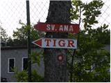 2
2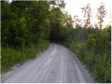 3
3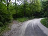 4
4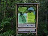 5
5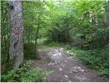 6
6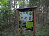 7
7 8
8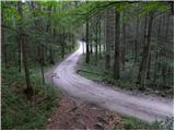 9
9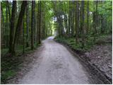 10
10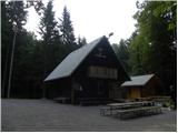 11
11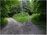 12
12 13
13 14
14 15
15 16
16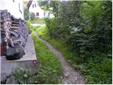 17
17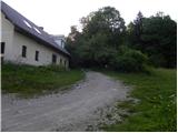 18
18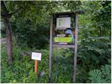 19
19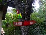 20
20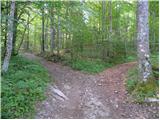 21
21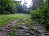 22
22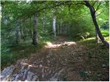 23
23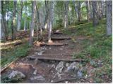 24
24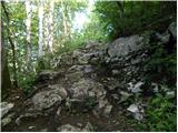 25
25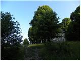 26
26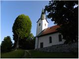 27
27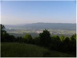 28
28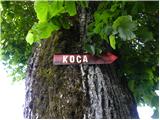 29
29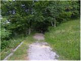 30
30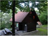 31
31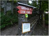 32
32 33
33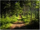 34
34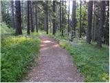 35
35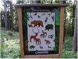 36
36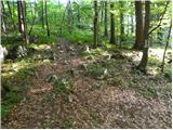 37
37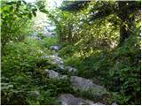 38
38 39
39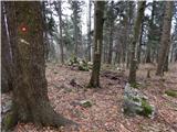 40
40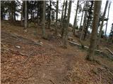 41
41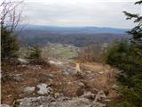 42
42 43
43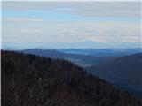 44
44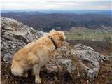 45
45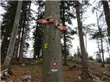 46
46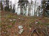 47
47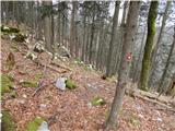 48
48 49
49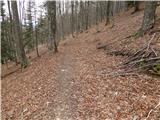 50
50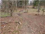 51
51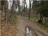 52
52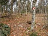 53
53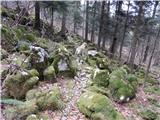 54
54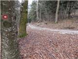 55
55 56
56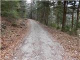 57
57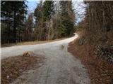 58
58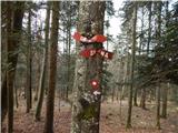 59
59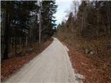 60
60 61
61 62
62 63
63 64
64 65
65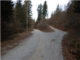 66
66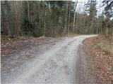 67
67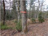 68
68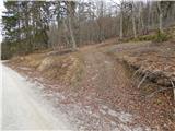 69
69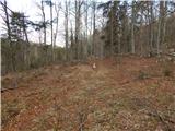 70
70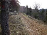 71
71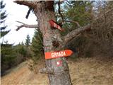 72
72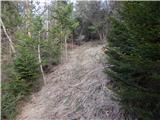 73
73 74
74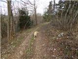 75
75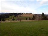 76
76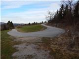 77
77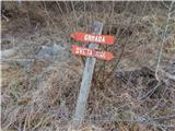 78
78 79
79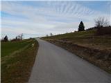 80
80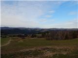 81
81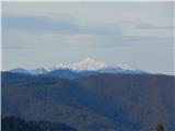 82
82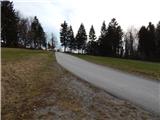 83
83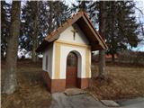 84
84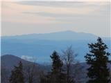 85
85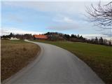 86
86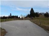 87
87 88
88 89
89 90
90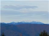 91
91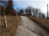 92
92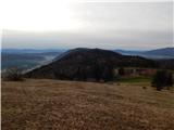 93
93 94
94 95
95
Discussion about the trail Ribnica (Lepovče) - Grmada on Mala gora (via Stene Svete Ane)
|
| dolenjski ris9. 05. 2021 18:43:35 |
Odlično opisana in na terenu dobro markirana pot, tako da je izlet potekal brez težav in zapletov. Hvala in lp 
|
|
|