Ravne na Koroškem - Šteharski vrh (Šteharnikov vrh)
Starting point: Ravne na Koroškem (384 m)
| Lat/Lon: | 46,5464°N 14,964°E |
| |
Time of walking: 1 h 45 min
Difficulty: easy marked way
Altitude difference: 634 m
Altitude difference po putu: 640 m
Map: Koroška 1:50.000
Recommended equipment (summer):
Recommended equipment (winter): crampons
Views: 7.220
 | 1 person likes this post |
Access to the starting point:
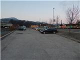
a) From the road Slovenj Gradec - Dravograd, take the exit towards Raven na Koroškem from the large roundabout and then drive towards the above-mentioned place. When you arrive at Ravne na Koroškem, after the Petrol station, at the crossroads where the Špar shop is on the right, turn left into the marked free parking area, where you park by the Meži River.
b) From Črna na Koroškem or via Border crossing Holmec, drive to Prevalje, from where you continue to Dravograd. When you arrive at Ravne na Koroškem, turn right at the Špar shop, which you will see on your left, into the asphalted parking lot located between the main road and the Meža River.
Path description:
From the parking lot, first cross the rather busy main road at the pedestrian crossing and then continue along the pavement towards Dravograd. After the Petrol station, turn left onto the road, where you will see the first signs for Šteharski vrh by the underpass under the railway line. After the underpass, turn right towards Malgajeva cesta and climb steeply up the stairs. The stairs end quickly, but when you reach the macadam road by the trestle, follow it right to a nearby apartment house, where signs direct you left under the route of a high-voltage power line. A fairly scenic walk under the power line follows, and then the path splits.
Continue left (Malgajeva cesta on the right), then pass a nearby house and outbuildings on the right, after which you cross a macadam road. Then climb through the forest, following the fairly frequent signposts at the crossroads. Higher up, the trail leads us to a grassy slope, which offers a beautiful view towards Uršlja gora and Pec. Just above the nearby chapel, the path from the Spodnji Lečnik tourist farm joins us from the right, and after the crossroads we pass a farmhouse on the right.
There is a short climb along an asphalt road, and then the signs for Šteharski vrh direct us left into the forest. Climb steeply through the forest for some time, then reach a macadam road, which leads to the Šteharnik farm, which you pass on the left. Continue along cart track, initially with fine views of the Carinthian hills, and then the path turns into the forest. A few minutes of moderate ascent follows and the mostly forest path leads to Šteharski, or Šteharnikov vrh.
Description and pictures refer to the situation in 2018 (March).

Pictures:
 1
1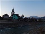 2
2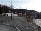 3
3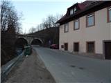 4
4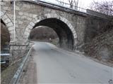 5
5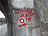 6
6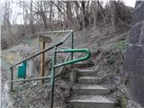 7
7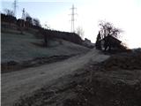 8
8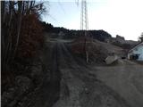 9
9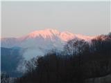 10
10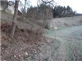 11
11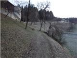 12
12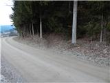 13
13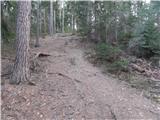 14
14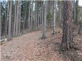 15
15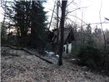 16
16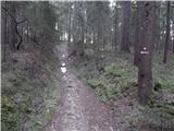 17
17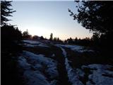 18
18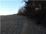 19
19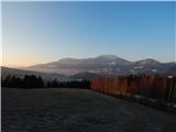 20
20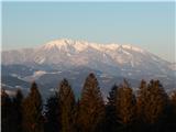 21
21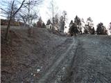 22
22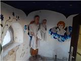 23
23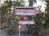 24
24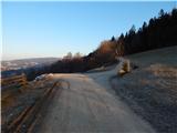 25
25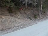 26
26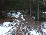 27
27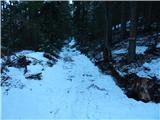 28
28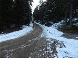 29
29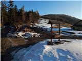 30
30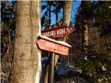 31
31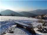 32
32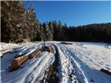 33
33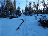 34
34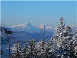 35
35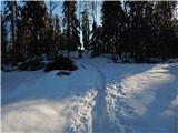 36
36 37
37
Discussion about the trail Ravne na Koroškem - Šteharski vrh (Šteharnikov vrh)