Radovljica - Castle Lipniški grad (Pusti grad above Lipnica) (via Ravnica)
Starting point: Radovljica (438 m)
| Lat/Lon: | 46,3336°N 14,1815°E |
| |
Name of path: via Ravnica
Time of walking: 1 h 5 min
Difficulty: easy unmarked way
Altitude difference: 152 m
Altitude difference po putu: 200 m
Map: Karavanke - osrednji del 1:50.000
Recommended equipment (summer):
Recommended equipment (winter):
Views: 2.960
 | 2 people like this post |
Access to the starting point:
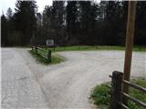
From the motorway Ljubljana - Jesenice, take the exit Radovljica and then continue in the direction of Radovljica. At the first slightly larger junction, turn left into Radovljica, and then soon left towards Tinaraft. At the next junction, just 10 metres further on, turn right again in the direction of Tinaraft, the Radovljica Collection Centre and the Pusti grad nature trail. Continue along Savska cesta, which descends gently for most of the way, and then, after an underpass under the railway line, leads to a parking lot with signs for the Pusti grad nature trail. Park in the parking lot.
Path description:
At the end of the parking lot, where there is an information board for the nature trail, continue right on the wide path, along which you will see signs for the Fux footbridge. The path immediately enters the forest, through which it descends gently for the most part. At the crossroads, follow the wider path, or the one with the signs for the nature trail. The trail continues past the paintball field and then descends to Fuxova brv, in front of which is Tinaraft d. o. o.
After crossing the Sava River on Fuxova brv, after a few steps of ascent, you reach a pleasant bench overlooking the footbridge and the Sava River.
From the bench, continue straight on (right path along the Sava, possible continuation to Šobčev bajer) and after a short climb on the cart track, you will reach the next crossroads, where you will continue to the right (straight on Kamna Gorica and the nature trail). The way ahead leads you along the wide cart track, which goes around the meadow in a semicircle. When the path returns to the woods, bear right at the crossroads and then right again when you reach the village. The path ahead leads along a narrower asphalt road, which takes you along the edge of a meadow with a view. As the road enters the woods, you will see gritting sand along the road where it starts to descend, and on the left-hand side of the road, cart track, which starts to climb up the slope. Continue along the above-mentioned cart track, which climbs steeply through a stand of hemlock, then leads out of the woods onto a hayfield, which is first crossed, then the less grassy cart track curves left to reach an asphalt road, where it continues sharp right and climbs past the back of the house.
Behind the last house a fine view of the route to the Alps opens up, and then, re-entering the forest, you reach a crossroads where a short path branches off to the left, leading to Pusti grad. From the crossroads, Pusti grad is reached after about a minute's further walking.
Description and pictures refer to the situation in 2016 (March and April).

We can extend the trip to the following destinations: Šobčev bajer
Pictures:
 1
1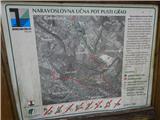 2
2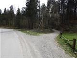 3
3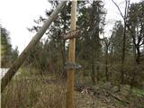 4
4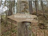 5
5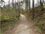 6
6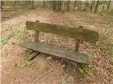 7
7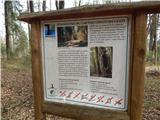 8
8 9
9 10
10 11
11 12
12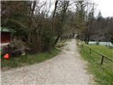 13
13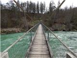 14
14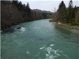 15
15 16
16 17
17 18
18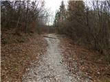 19
19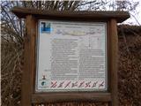 20
20 21
21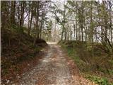 22
22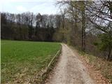 23
23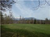 24
24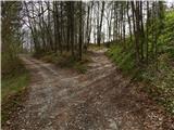 25
25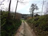 26
26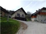 27
27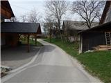 28
28 29
29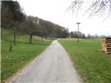 30
30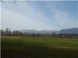 31
31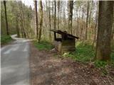 32
32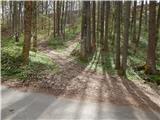 33
33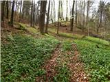 34
34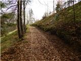 35
35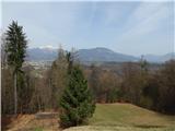 36
36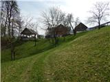 37
37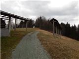 38
38 39
39 40
40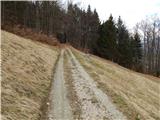 41
41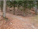 42
42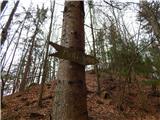 43
43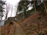 44
44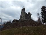 45
45 46
46 47
47
Discussion about the trail Radovljica - Castle Lipniški grad (Pusti grad above Lipnica) (via Ravnica)