Starting point: Radlek (780 m)
| Lat/Lon: | 45,7834°N 14,4486°E |
| |
Time of walking: 1 h 20 min
Difficulty: easy marked way
Altitude difference: 334 m
Altitude difference po putu: 350 m
Map: Snežnik 1:50.000
Recommended equipment (summer):
Recommended equipment (winter): crampons
Views: 16.574
 | 1 person likes this post |
Access to the starting point:
a) From the Ljubljana - Koper motorway, take the Unec exit, then continue to Cerknica and on to Nová vas na Blokah. When you reach the village Grahovo, leave the main road at the crossroads by the Church of St. Mary and turn left onto the local road. Continue through the village and then the road gradually leads into the forest, where you reach a small crossroads. Continue straight ahead (left Martinjak) and follow the dirt road for some time, then you will come to a sharp right turn, in the middle of which the road to Slivnica turns left. Turn left here and park at a suitable place on the roadside.
b) From the road Ljubljana - Kočevje, at Žlebič, turn in the route Sodražica, and then continue towards Blocks. At the end of Nová vas na Bloki, leave the main road leading to Cerknica and turn right towards Veliki Bloki. At the end of Velike Bloke, turn left towards Radlek, and the asphalt road will quickly lead you to the above-mentioned village. After the village, the asphalt ends and we continue on the dirt road, which is soon joined by a worse dirt road from Bločice on the left, and we continue straight on the road, which soon turns into a forest. Continue past the NOB monument, after which you will quickly reach a left turn, in the middle of which the road to Slivnica branches off to the right. Turn right here and park in a suitable place on the roadside.
Path description:
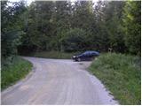
From the starting point, continue along the road along which we parked, which leads us in a moderate climb to a small crossroads, where we continue slightly left in the direction of Slivnica and hunting huts (the right road leads to Kalužam). The path continues on a slightly ascending road, which we follow for about 30 minutes, and then just before the nearby hunting hut markings direct us left on the initially parallel mountain trail. Just a little further on, the path from the hunting lodge joins us from the right (and from the left, the path with Grahovo, the path that leads past the ruins of the church of St Nicholas), and we continue straight on, following a gradually steeper mountain path. Higher up, the path is laid and leads us out of the forest to several small meadows surrounded by scrub.
The scrub thins out further, and the views from the path start to get better and better. A little further on, we get a nice view of Cerkniško polje and Snežnik, and our path crosses the grassy cart track at this point. There is a short climb through lane of low forest before joining the slightly wider cart track.
When you reach the cart track continue right (left Dom na Slivnici for 3 minutes), and we walk along it for only a few 10 steps, then continue slightly left on a beaten track, which quickly ascends to the top of Slivnica.

Pictures:
 1
1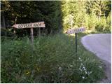 2
2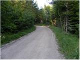 3
3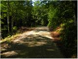 4
4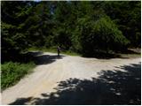 5
5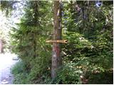 6
6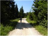 7
7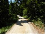 8
8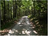 9
9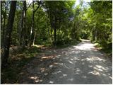 10
10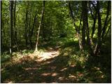 11
11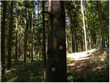 12
12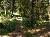 13
13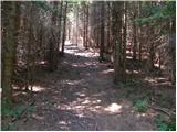 14
14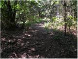 15
15 16
16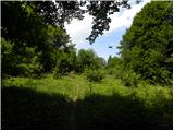 17
17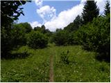 18
18 19
19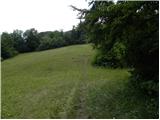 20
20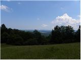 21
21 22
22 23
23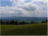 24
24 25
25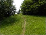 26
26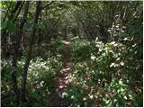 27
27 28
28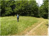 29
29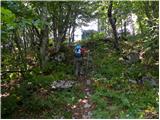 30
30 31
31
Discussion about the trail Radlek - Slivnica
|
| ZoranV1. 05. 2014 |
Sv. Miklavž se nahaja pri sliki 13, na levi strani kakšnih 100 metrov od poti.
|
|
|