Predmeja (Gorjanka) - Koča Edmunda Čibeja v Tihi dolini
Starting point: Predmeja (Gorjanka) (887 m)
| Lat/Lon: | 45,94376°N 13,87631°E |
| |
Time of walking: 25 min
Difficulty: easy marked way
Altitude difference: 63 m
Altitude difference po putu: 65 m
Map:
Recommended equipment (summer):
Recommended equipment (winter):
Views: 268
 | 1 person likes this post |
Access to the starting point:
Path description:
Pictures:
 1
1 2
2 3
3 4
4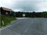 5
5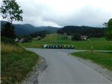 6
6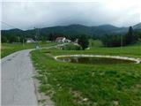 7
7 8
8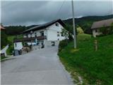 9
9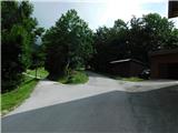 10
10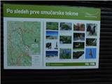 11
11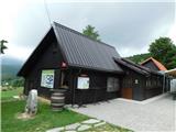 12
12
Discussion about the trail Predmeja (Gorjanka) - Koča Edmunda Čibeja v Tihi dolini