Povodje - Šmarna gora (Partizanska steza)
Starting point: Povodje (316 m)
| Lat/Lon: | 46,1382°N 14,4791°E |
| |
Name of path: Partizanska steza
Time of walking: 1 h 45 min
Difficulty: easy marked way
Altitude difference: 353 m
Altitude difference po putu: 380 m
Map: Ljubljana - okolica 1:50.000
Recommended equipment (summer):
Recommended equipment (winter): ice axe, crampons
Views: 8.453
 | 3 people like this post |
Access to the starting point:
From the Ljubljana - Jesenice motorway, take the Ljubljana - Šmartno exit, and follow the road to the settlement, where you turn right onto the road leading to Vodice. Continue towards Vodice, and at the first junction after the motorway overpass turn right, where after 100 m you will reach the Povodje fish farm. There are no parking spaces at the starting point, but you can find a suitable place somewhere nearby.
Path description:
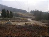
From the starting point, take the initially overgrown path in the route Šmarna gora, which will take you up to the motorway overpass in 10 steps. Walk along the pavement to the other side of the motorway, cross the road carefully and then take the marked footpath that continues along the wire fence. Walk along the overgrown path at first, then join the cart track, which continues parallel to the motorway for some time. After a short, winding descent, cart track turns left and we continue along the motorway. The relatively poorly marked path then turns left and leads to a large meadow. Here we continue slightly to the right and walk almost along the edge of the meadow to the nearby woods, where we join the slightly better marked path from Skaručna. Here, continue left, cross the Gračenica stream, and then begin a gentle climb. The path ahead leads us under the power line, returns to the forest a little further on and crosses a macadam road. A little above the road, we join the logging trail wall, which we gradually start to climb steeper and steeper. At a higher altitude, leave cart track and climb a slightly steeper path in a few minutes to a path that almost encircles Šmarna Gora. Follow this path to the left (Turko's sign on the right, Šmarna gora and Grmada) and begin a gentle descent. After about 50 m, you will see a P marker on a tree, which directs you to the right onto the path, which climbs steeply for a short time, then lays down and joins the narrower cart track. Then cart track starts to descend gently and slowly turns more and more to the right. After a few minutes of easy descent, you arrive at a marked crossroads where you reach the route from Šmartno and Tacno. Here, take a sharp right onto the Partisan Trail.
From the crossroads onwards, the path becomes steeper and passes onto significantly steeper slopes, which are dangerous for slipping, especially in snow and ice. Further on, we climb up the steep slope in switchbacks, and after a while the well-maintained path leads us to a bench, from which we have a beautiful view of the valley. Above the bench, the path passes onto a ridge, which we climb just below the top of Šmarna Gora. Here, the path goes from the ridge to a slope, over which we climb to the top of Šmarna Gora in a few 10 steps of further walking.

Pictures:
 1
1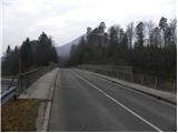 2
2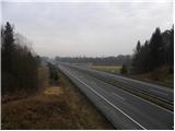 3
3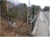 4
4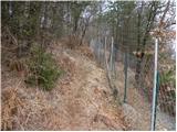 5
5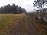 6
6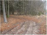 7
7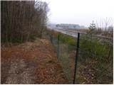 8
8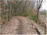 9
9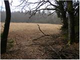 10
10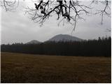 11
11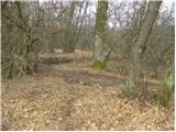 12
12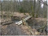 13
13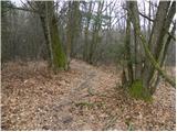 14
14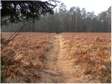 15
15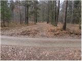 16
16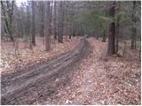 17
17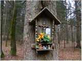 18
18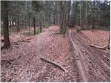 19
19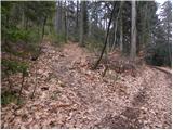 20
20 21
21 22
22 23
23 24
24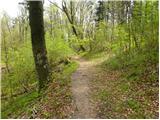 25
25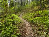 26
26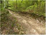 27
27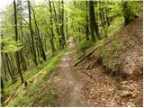 28
28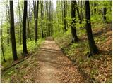 29
29 30
30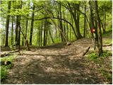 31
31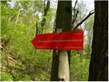 32
32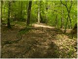 33
33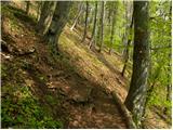 34
34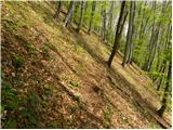 35
35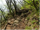 36
36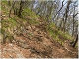 37
37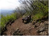 38
38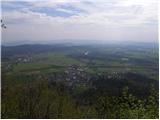 39
39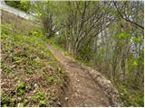 40
40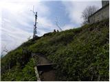 41
41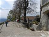 42
42 43
43
Discussion about the trail Povodje - Šmarna gora (Partizanska steza)
|
| grega_p21. 01. 2015 |
Če vam ni do hoje ob avtocesti, se lahko do mesta, ki ga označuje slika št 16. pripeljete z avtom po precej lepi makedamski cesti iz Šmartnega (glej zemljevid). Le parkirno mesto je malce težje najti.
Pot je veliko manj turistična od ostalih, tako da ni tistih značilnih "dober danov" vsakih par minut.
Ker je to severna stran gore, je za razliko od ostalih pristopov trenutno veliko bolj blatna in drseča. A lep krog okoli (npr gor po Partizanski in nazaj čez Sedlo) in kaj toplega na vrhu odtehta presežke zemlje na podplatih.
Priporočam!
|
|
|