Podpeč - Stene svete Ane (via Grmada)
Starting point: Podpeč (467 m)
| Lat/Lon: | 45,8399°N 14,6855°E |
| |
Name of path: via Grmada
Time of walking: 3 h 55 min
Difficulty: easy marked way
Altitude difference: 497 m
Altitude difference po putu: 700 m
Map:
Recommended equipment (summer):
Recommended equipment (winter): ice axe, crampons
Views: 1.492
 | 1 person likes this post |
Access to the starting point:
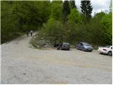
a) From the Ljubljana - Novo Mesto motorway, take the Grosuplje exit (from the Ljubljana direction, you can also take the Cikava exit), and then continue driving towards the centre of Grosuplje. From Grosuplje, drive towards Veliko Mlačevo, Mala and Velika Račna and Vidmo. From Veliko Mlačevo, turn right (straight ahead to Lobček and Luce) and then continue towards Vidmo. At Vidmo, the road from Rašice joins, and we follow it to the left (south) to the road turnoff to the village of Podpeč. In Podpeč, turn right and go through the village for another 100 m, then turn sharp left after one of the residential houses towards the nearby St Martin's Church, next to which you park in a gravel parking area.
b) From the Ljubljana - Kočevje road at Rašica turn left (from Kočevje turn right) towards Ponikev, Predstruge and Vidmo. When you reach Predstruge, you will reach the Dobrepolje valley, and we will follow it through Videm to the road turnoff to the village of Podpeč. In Podpeč, turn right and drive through the village for another 100 m, then take a sharp left after one of the residential houses towards the nearby St Martin's Church, where you park in a gravel parking area.
Path description:
From the parking lot, we focus on a relatively steep macadam road, which we walk only a few steps, as the markings then lead us left into the forest (along the way we will notice the markings "KV" which indicates Kamen vrh). Climb moderately through the forest on a well-marked path for a while, then reach a forest road, which you follow to the left (straight up the footpath to Kamen vrh).
Continue along the relatively sloping macadam road, which splits into two parts after about 10 minutes of further walking. Take the right-hand road, which a few metres further on crosses the marked path Podgora - Kamen vrh.
Continue along the macadam road, which climbs gently to moderately to the left, and at a higher altitude takes a sharp right turn and leads to a crossroads.
From the crossroads, continue along the left-hand road (the right-hand road leads to Kamen vrh), which continues to climb transversely through the forest. Higher up, the path leads you across a view slope, from where you have a beautiful view towards Dobrepolje and the Dry Landscape. The road then returns to the forest, and we follow it to a small left turn, where we reach another marked path leading to the top of Grmada.
At this point, leave the road and continue the ascent along the marked or parallel better-maintained unmarked path. After a few minutes of ascent, the two paths merge and lead us to the Grmada hut above Ortnek, from which we have a beautiful view.
The top of Grmada is a few 10 steps further.
At the house we see signs for St Anne, which direct us to a macadam road that starts descending towards the small village of Vrh pri Poljanah. Before you reach the houses in the village, the road becomes asphalted, and then, after the houses, you reach a small crossroads by a larger brick chapel.
Continue straight ahead on the asphalt road (the left road, or lower mountain path, can take you to Podgora or Podpeč), from which a marked footpath soon branches off to the right towards Ortnek, and this time we continue straight ahead on the descending road, which also leads to the village of Ortnek. With views of the surrounding hills and, in good visibility, also of Snežnik, we quickly reach a right turn where we continue straight on the marked cart track in the direction of St. Anne. Cart track or a little further on, the footpath gradually turns into a forest and crosses the slopes of Vrbovec. After a few minutes, you will reach another cart track, which you can follow in the direction of St. Anne, and walk along it for a short distance, as the marked path soon turns slightly to the right (this part is not the best marked). Walk through the forest for a few minutes, then follow the second cart track down to a dirt road, which you follow to the left (Velike Poljane and Ortnek on the right). From the place where you get on the road, continue the cross-climb through the forest for some time, then arrive at a slightly larger crossroads, where you continue straight in the direction of Sv. Ana (you can take the road sharp left to reach Kompolje or Rapljeva). There are a few minutes of gentle to moderate climbing, then the trail begins to descend behind the indistinct pass between the peaks of Tisovec (931 m) and Špičnik (926 m). A descent of a few minutes follows, and then the signs for Sv. Anna direct us left onto a slightly less good road, which begins to climb steeply (the wider road we leave leads towards Ribnica). Walk along the ascending road for a few minutes, and then the signs lead us slightly more to the right onto a marked footpath that continues through the forest. After a few minutes, when the path has completely flattened out, you will reach cart track and follow it to the left, where you walk along the edge of a small valley where, in spring, the hellebores grow.
Somewhere in the middle of the valley, the relatively well-marked path turns right and passes onto the slopes of the Sten St. Anna peak. Climb relatively steeply for a few minutes to the right, and then the signs for Sv. Ana with cart track direct you sharp left onto a slightly steeper footpath. A relatively steep climb follows, and then after a few minutes the path lays down and in a few further steps leads us to a place where a short path branches off to the left, leading to a nearby viewpoint.
From the viewpoint, we return to the aforementioned crossroads, and from there we continue in the direction of Sv. Ana. A short crossing follows, and then a path from Struge joins us from the left, and a few steps further on, a path branches off to the right to the top of Sten Sv. Anna (directly Koča pri sv. Ani na Mali gori).
From the crossroads, it is a one-minute walk to the summit, where the geodesic tower is located.
Podpeč - Grmada 1:35, Grmada - Stene sv. Ane 2:20.

Pictures:
 1
1 2
2 3
3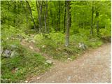 4
4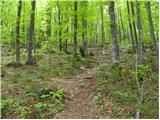 5
5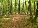 6
6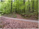 7
7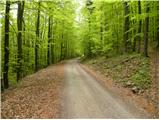 8
8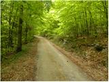 9
9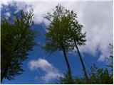 10
10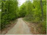 11
11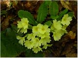 12
12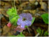 13
13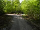 14
14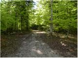 15
15 16
16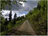 17
17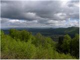 18
18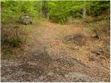 19
19 20
20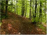 21
21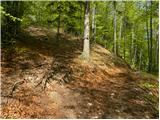 22
22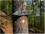 23
23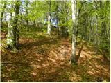 24
24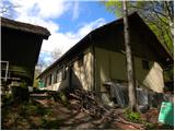 25
25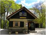 26
26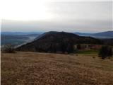 27
27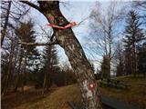 28
28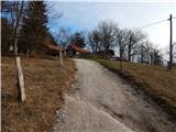 29
29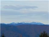 30
30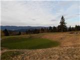 31
31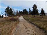 32
32 33
33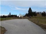 34
34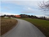 35
35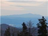 36
36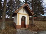 37
37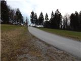 38
38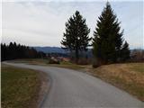 39
39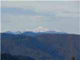 40
40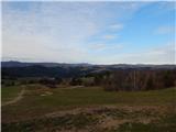 41
41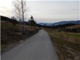 42
42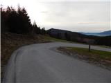 43
43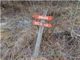 44
44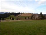 45
45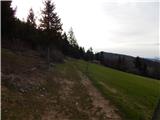 46
46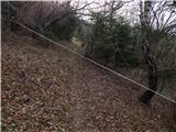 47
47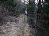 48
48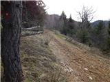 49
49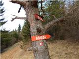 50
50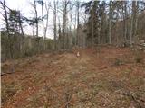 51
51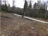 52
52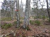 53
53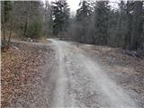 54
54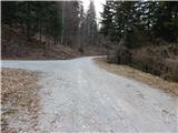 55
55 56
56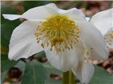 57
57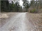 58
58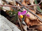 59
59 60
60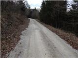 61
61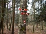 62
62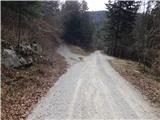 63
63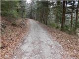 64
64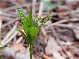 65
65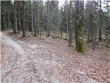 66
66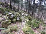 67
67 68
68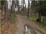 69
69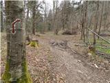 70
70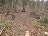 71
71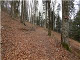 72
72 73
73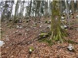 74
74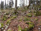 75
75 76
76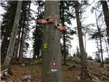 77
77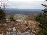 78
78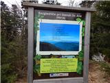 79
79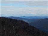 80
80 81
81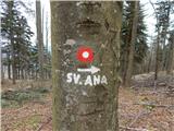 82
82 83
83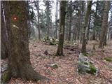 84
84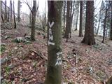 85
85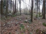 86
86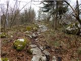 87
87 88
88
Discussion about the trail Podpeč - Stene svete Ane (via Grmada)