Podljubelj (Sroberje) - Bistriška planina
Starting point: Podljubelj (Sroberje) (580 m)
| Lat/Lon: | 46,38126°N 14,29636°E |
| |
Time of walking: 1 h 35 min
Difficulty: easy unmarked way
Altitude difference: 477 m
Altitude difference po putu: 510 m
Map: Karavanke - osrednji del 1:50.000
Recommended equipment (summer):
Recommended equipment (winter): ice axe, crampons
Views: 643
 | 1 person likes this post |
Access to the starting point:
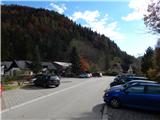
Leave the Gorenjska motorway at the Podtabor exit and follow the road towards Ljubelj. Take the exit for Tržič, past a settlement of newer houses, and then shortly after a small underpass, take the first exit to the right, where you take a sharp right and drive to the nearby Mikro S company, where the route described above begins.
When turning back towards the motorway, the route along the main road is a mandatory right turn, so you have to go to Podljubelj, but a better option is to go over the overpass, turn right after the overpass, and then before the centre of Podljubelj, turn sharp right onto the main road towards the motorway. Alternatively, you can return via Tržič.
Path description:
From the parking lot next to Mikro S, descend slightly in the direction of Tržič, and at the nearby crossroads, take a sharp right and climb up to the overpass over which you cross over to the other side of the main road. On the other side of the overpass, go left onto the dirt road (right Podljubelj), where you pass Kramar's fold, and a little further on the road splits, and we choose the upper right road (the lower road leads to Kajžer's fold), which just a little further on passes into the forest and starts to climb crosswise. Higher up, we reach a crossroads where we continue left (right Bistriška planina - along the road). There are a few minutes of cross-climbing, but when we reach an indistinct side ridge at a right-hand bend, we continue right on cart track, which starts to climb steeply. cart track splits a little higher, and we take the right cart track, which is soon joined on the left by the marked path from Tržič.
We continue to climb cross-country to the right, following the less favourable cart track, which leads us over a steeper slope. At the top of the steep part, the memorial opens up a fine view in the direction of Storžič, and we continue along the gently sloping path, which just ahead joins the road which we left or went left at the junction below.
The road is reached just at the part where it turns into cart track, and with cart track we are already quickly left on a marked path that continues through the forest. Follow the markings through the forest at a few small forks, then return to cart track, which continues to climb moderately for a short distance, then gradually descends and quickly reaches a forest road, which is followed to the right. Follow the edge of Bistriška planina and when you reach the Brezje pri Tržiču - Bistriška planina road, bear right. There is a slight climb and at an unmaintained parking lot continue right on mountain pasture, over which you climb to the pasture at Bistriška mountain pasture.
Description and pictures refer to the situation in October 2020.

Pictures:
 1
1 2
2 3
3 4
4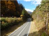 5
5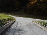 6
6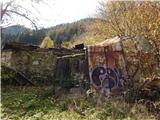 7
7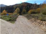 8
8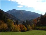 9
9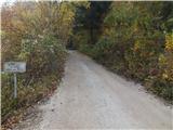 10
10 11
11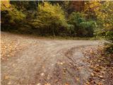 12
12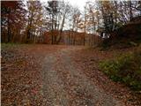 13
13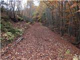 14
14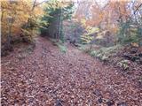 15
15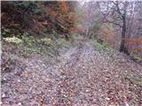 16
16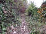 17
17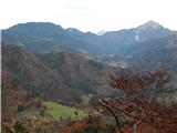 18
18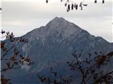 19
19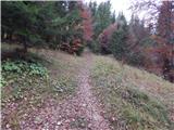 20
20 21
21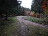 22
22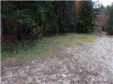 23
23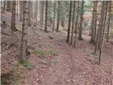 24
24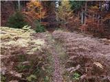 25
25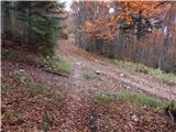 26
26 27
27 28
28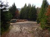 29
29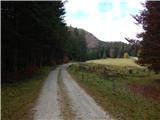 30
30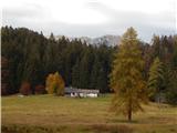 31
31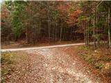 32
32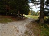 33
33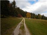 34
34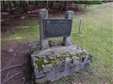 35
35 36
36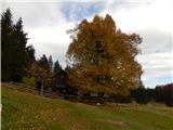 37
37
Discussion about the trail Podljubelj (Sroberje) - Bistriška planina