Podljubelj - Kršiše (southern path)
Starting point: Podljubelj (658 m)
| Lat/Lon: | 46,3979°N 14,2876°E |
| |
Name of path: southern path
Time of walking: 20 min
Difficulty: easy unmarked way
Altitude difference: 132 m
Altitude difference po putu: 132 m
Map: Karavanke - osrednji del 1:50.000
Recommended equipment (summer):
Recommended equipment (winter): ice axe, crampons
Views: 584
 | 1 person likes this post |
Access to the starting point:
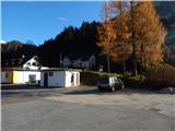
From the motorway Ljubljana - Jesenice, take the exit Podtabor (Tržič, Ljubelj), then continue to Ljubelj. After about 6 km from the petrol station at Bistrica pri Tržiču, we leave the main road, as the signs for Podljubelj direct us to the right onto the local road. Just a little further on, we arrive at the next crossroads, where we continue right and then after a few 10 m we park in a suitable place in the middle of the village.
Path description:
From the Podljubelj branch primary school, return to the crossroads where you entered Podljubelj, then follow the signs for Kofce and Tominčev slap. Continue up through Podljubelj, passing the Ankele Inn, and just ahead to a crossroads where the road to Matizovec branches off to the right, which leads to the "east" trail to Kršiše, and we continue straight on to Waterfall Tominčev slap. The way forward leads us past a few more houses, but when we are quite close to the overpass over which the path to Waterfall Tominčev slap leads, we see an arrow on a public lighting pole pointing to an unmarked path that climbs up to the right of the road. Continue along the path, which first climbs through a small clearing, then continues through the woods, where another path joins from the left.
Continue to the right, crossing to the right, and when you reach a wooded ridge, where you join another "eastern" path, continue to the left.
We follow this path to the transmitters, the bench and the registration box at Kršiš.
Description and pictures refer to the situation in November 2020.

Pictures:
 1
1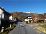 2
2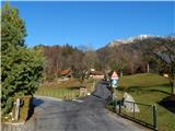 3
3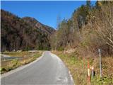 4
4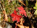 5
5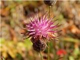 6
6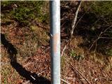 7
7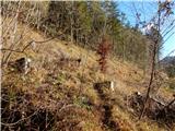 8
8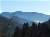 9
9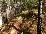 10
10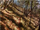 11
11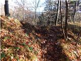 12
12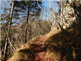 13
13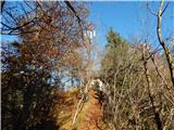 14
14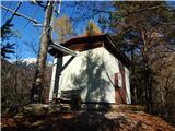 15
15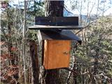 16
16
Discussion about the trail Podljubelj - Kršiše (southern path)