Podkorita - Grmečica waterfall
Starting point: Podkorita (500 m)
| Lat/Lon: | 46,2839°N 14,0282°E |
| |
Time of walking: 35 min
Difficulty: easy unmarked way, easy marked way
Altitude difference: 10 m
Altitude difference po putu: 30 m
Map: TNP 1:50.000
Recommended equipment (summer):
Recommended equipment (winter):
Views: 5.993
 | 1 person likes this post |
Access to the starting point:
From the Ljubljana - Jesenice motorway, take the Lesce exit and then continue to Bled and Bohinjska Bistrica. Once you reach Bohinj, slowly turn your attention to the left turn-off. Just before the main road crosses the bridge over the Sava Bohinjka River, turn slightly left onto a dirt road that continues parallel to the river. From the main road, follow the dirt road for another 2100 m, then park at a suitable place on the roadside.
Path description:
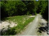
From the starting point, we continue along the macadam road, which immediately leads us through two successive streams and a small wooden hut, which we can see on the left. Just a little further on, or just after a small bridge, we arrive at a small crossroads where a short road branches off to the left towards a nearby beehive, and to the right a road towards the nearby vast meadows. At this crossroads, continue straight ahead and follow the relatively winding road to the St. Emma's blast furnace.
Here, the path to Nemški Rovt branches off to the left, and we continue straight on, following the road to the footbridge over the Sava Bohinjka River. At the footbridge, continue straight on (right over the footbridge Nomenj), follow the road for a short distance, and then it turns into a pleasant forest path that continues through the forest. Walk along the Sava Bohinjka for a while and then reach the confluence of the Grmečice and the aforementioned river. We continue through the forest, and the path continues to lead us quickly to the Grmečica waterfall.

Pictures:
 1
1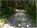 2
2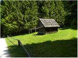 3
3 4
4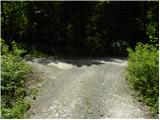 5
5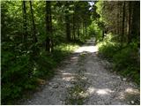 6
6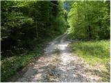 7
7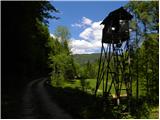 8
8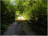 9
9 10
10 11
11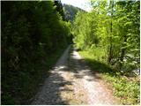 12
12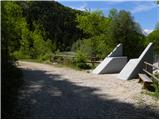 13
13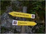 14
14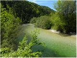 15
15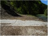 16
16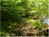 17
17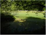 18
18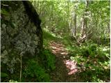 19
19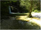 20
20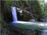 21
21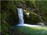 22
22
Discussion about the trail Podkorita - Grmečica waterfall
|
| lorina7. 09. 2020 |
Tam, ko se z glavne ceste zavije na makadam, je tabla za prepovedan promet (razen za lastnike zemljišč), tako da se pot malenkost podaljša  . Od tu do slapa je potem slabih 6 kilometrov peš.
|
|
|